BAKERSFIELD, Calif.(KBAK/KBFX) —
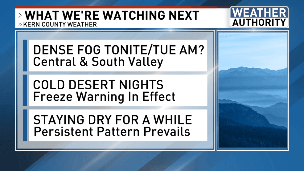
ON THE LOOKOUT FOR DENSE FOG TONIGHT & TUESDAY AM
Monday’s AM low clouds gave way to high sunshine toward lunchtime, which was a very welcome sight! This development means high fog potential tonight. A clear sky, combined with a long night, will allow South Valley temperatures to drop since there’s no “warm blanket-effect” to keep those readings elevated. If and when the temperatures dip down to the dew point, which is currently in the low to mid-40s just after 8 PM in the region, condensation will commence. That means fog formation.
Please use caution if driving overnight into tomorrow, as visibility could be very low. The NWS has now issued a Dense Fog Advisory that goes into effect from 11 PM tonight to 11 AM Tuesday for the Central and South Valley.
COLDEST NIGHT OF THE SEASON
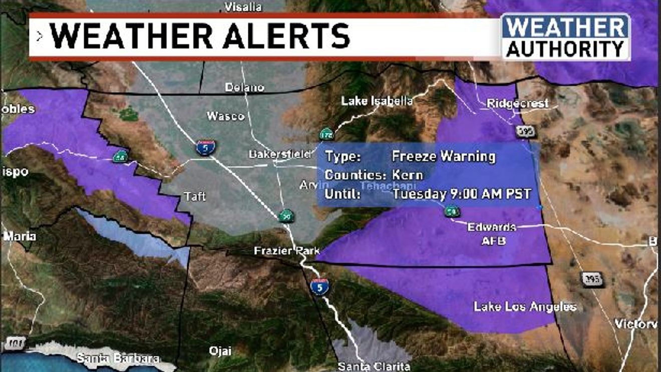
A weather system that passed through the Great Basin yesterday is helping to send a serving of dry and cold air southwestward. This is especially true now that a surface high is building into northwest Utah. Practically, this means temperatures are expected to go low tonight, and by tomorrow morning, we’ll probably be looking at the coldest readings of the season, so far. As such, a Freeze Warning is now in effect until 9 AM Tuesday for our desert communities of the Antelope and Indian Wells Valleys, as well as the Mojave Desert slopes. Here, temperatures may reach into the 20s across some areas.

STAYING DRY FOR A WHILE
Comment with Bubbles
BE THE FIRST TO COMMENT
The aforementioned Great Basin weather system that is giving us a glancing blow of cold air has moved out into the central parts of the country, but another one following a nearly identical track could take its place on Wednesday. This could send a reinforcing shot of cold air our way, but it looks to once again be too far inland to help usher in any precipitation. As this occurs, the center of the Pacific high will wobble around just west of California. This persistent pattern means we will probably stay dry for some time, AND foggy/cloudy days may continue for the Valley, while it stays mostly sunny elsewhere. Looking through the meteorological binoculars (aka computer model land), there is a chance that the pattern could change toward mid-month, BUT that’s out two weeks, and weather forecasting is notoriously difficult – especially past a week – but that’s what we’re looking at as of this evening.