
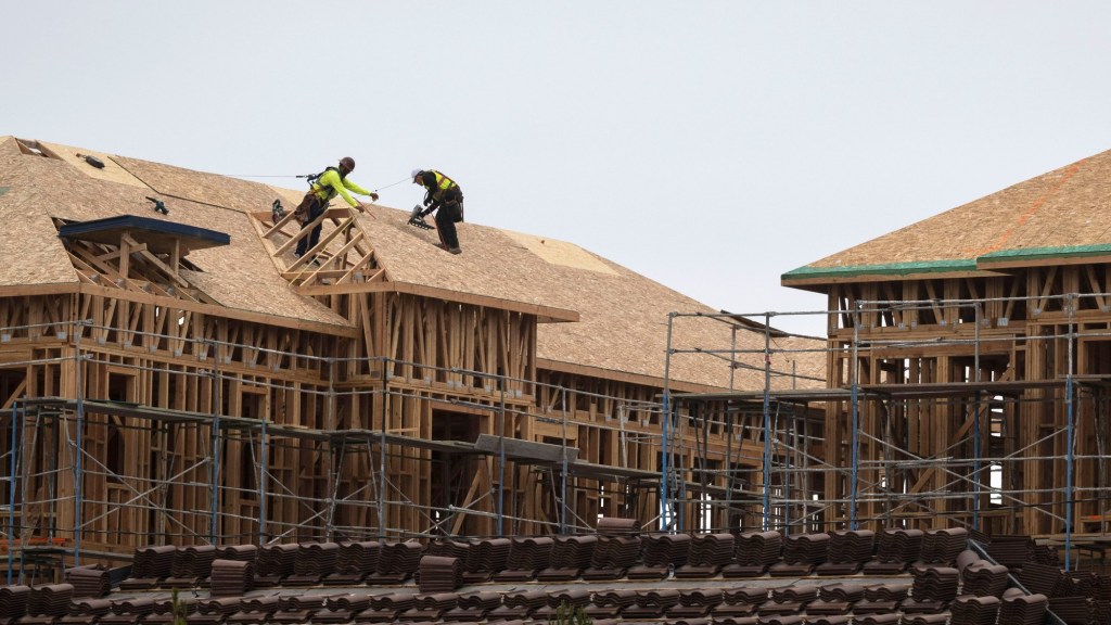
The Los Angeles City Council on Tuesday unanimously approved a set of recommendations that begin the city’s technical work to comply with SB 79, the state’s new transit-area housing law taking effect in July 2026. The vote authorizes city staff to begin detailed mapping and modeling of where the law’s new density and height standards would be allowed.
The action directs the Department of City Planning to procure software and technical support and instructs the City Administrative Officer to identify up to $375,000 in General Fund money for the analysis. That modeling will help determine which areas might qualify for delayed implementation and where a locally crafted alternative plan could move density from one area to another.
SB 79, signed into law by Gov. Gavin Newsom in October, require cities to allow mid- to high-density housing within a half-mile of certain rail stations and major bus routes starting on July 1, 2026. City planners estimate roughly 150 locations in Los Angeles could fall under the law.
The law provides two narrow tools for shaping how it takes effect. One is “delay in effectuation,” a temporary pause the city can use in certain eligible areas. The other is a local “transit-oriented development (TOD) alternative plan,” or Alt Plan, which allows the city to shift where density goes as long as overall housing potential does not decrease. Both approaches require extensive modeling and state approval.
Planning officials have cautioned that each option comes with limits. Many high-resource, low-density neighborhoods—areas with greater access to jobs and schools– are unlikely to qualify for delay, and Alt Plans that reduce capacity on certain parcels must add it elsewhere.
City staff expect to produce initial findings early next year. Those results will come ahead of key deadlines in January through March, when any delay ordinance or alternative plans must be submitted to the state housing department to take effect before SB 79 kicks in.
Residents can check how their neighborhood fits into the analysis through a new interactive StoryMap published by city staff, which shows proximity to transit stops and whether an area falls into sensitive categories – such as fire zones, coastal areas or historic districts – that could affect how SB 79 is implemented.