
Downtown San Francisco reached only 10°C (50°F) on Sunday, November 30, 2025–the city’s lowest daily maximum for the date in records dating back to 1874. The unseasonably cold conditions developed under a persistent marine layer and stagnant air pattern, keeping the city unusually cold for late autumn.
Downtown San Francisco registered a high temperature of 10°C (50°F) on Sunday, November 30. This was a new record low maximum for the date, breaking the 1922 record of 10.6°C (51°F).
“The last time San Francisco had a high temperature 10°C (50°F) or cooler was February 27, 2023,” the National Weather Service (NWS) office in the Bay Area reported. Typical late-November highs in the city average near 15.6°C (60°F).
Sunday’s high was the lowest daytime temperature observed in the city during any fall season since 2019, following several weeks of relatively mild autumn weather.
San Francisco downtown high temperature was 50F Sunday, November 30, 2025. High temp 50F is a record low maximum temperature for the day, previous record was 51F in 1922.
The last time San Francisco had a high temperature 50F or cooler was February 27, 2023.#CAwx
— NWS Bay Area 🌉 (@NWSBayArea) December 1, 2025
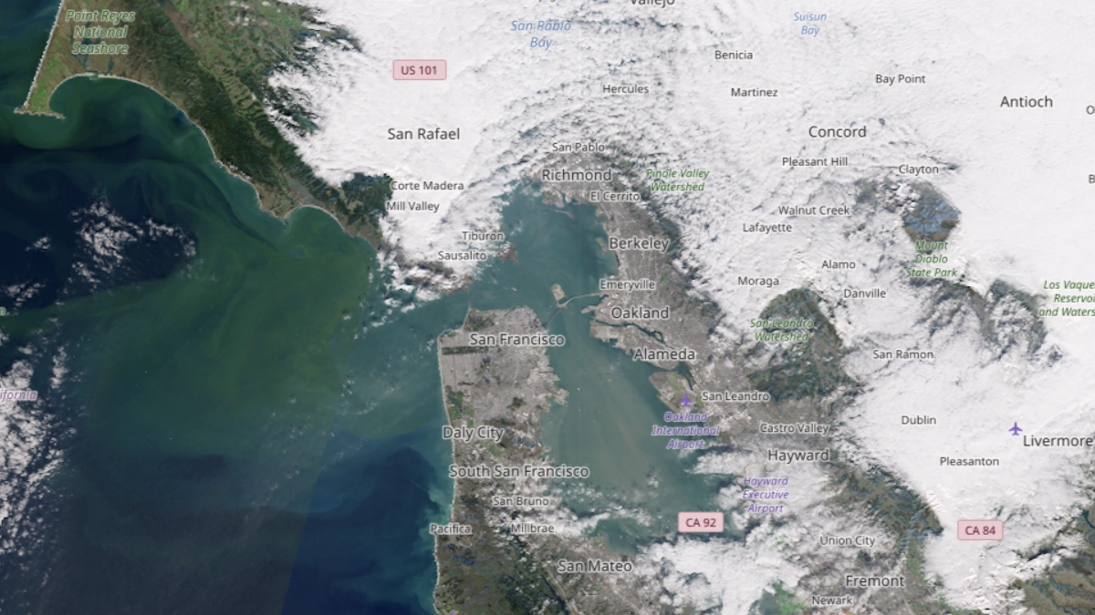
Meteorologists attributed the unusually cold day to a persistent marine layer and stagnant atmospheric conditions. A shallow temperature inversion limited vertical mixing, while widespread fog and light onshore flow prevented surface warming.
Temperatures in downtown San Francisco remained near 10°C (50°F) for most of the day, an uncommon occurrence for coastal California in late autumn, and local media reported that much of the Bay Area experienced similarly below-normal daytime highs during the same period.
NWS forecasters said conditions would gradually warm in early December as the inversion weakens and offshore flow redevelops, restoring typical late-autumn temperature ranges for the region.