
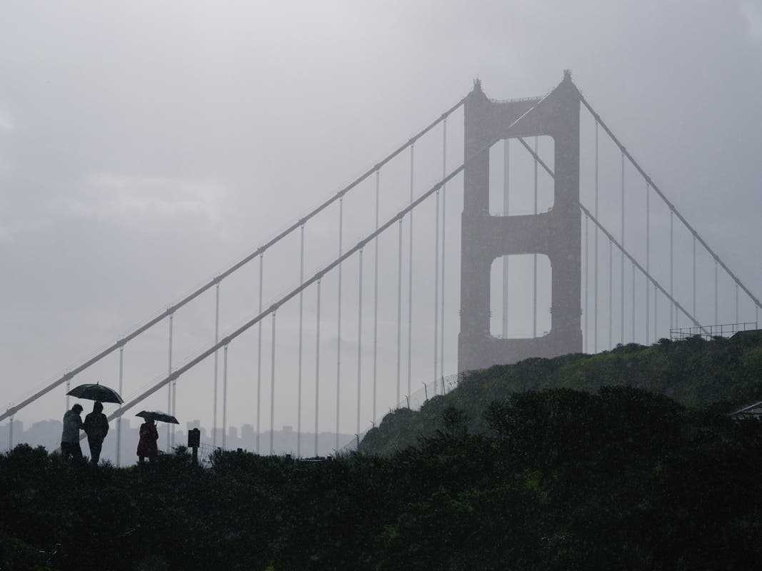
SAN FRANCISCO, CA — An atmospheric river-fueled storm dropped about a month’s worth of rain in a single day, leading to flash flood warnings and evacuations throughout the Bay Area.
On Tuesday, a severe thunderstorm developed over Salinas, with reports of a brief funnel cloud, hail and wind gusts up to 60 mph.
A Winter Storm Watch was also issued in the Sierra Nevada Mountains, which remained in effect until 11 a.m. Wednesday. Snow fell Tuesday at heights of 5,500 to 6,500 feet of elevation.
All told, disruptions were relatively minor. The California Highway Patrol closed the transition ramp from northbound I-880 to eastbound I-980 in Oakland Monday night for about two hours, and many local roads were closed due to flooding and toppled trees.
Blue skies are predicted for the foreseeable future in much of the region.
The preliminary rainfall totals from Oct. 13-15, according to the National Oceanic and Atmospheric Administration’s Regional Climate Centre varied dramatically: San Jose received 2.29 inches, and Half Moon Bay saw a meager 0.15 inches. Much of the East and North bays experienced between 1 and 1.5 inches, with Livermore seeing a standout 1.53 inches.
San Francisco & Peninsula Burlingame – 1.47″ SFO – 0.87″ Downtown SF – 0.75″ Pacifica – 0.61″ Half Moon Bay – 0.15″ East Bay Livermore – 1.53” Danville – 1.45″ Lafayette – 1.41″ Castro Valley – 1.35″ Benicia – 1.30″ Walnut Creek – 1.11″ Martinez – 1.07″ Concord – 1.05″ Pittsburg – 1.08″ Oakland – 0.90″ Berkeley – 1.11″ Albany – 0.98″ South Bay San Jose – 2.29″ Sunnyvale – 1.33″ Los Altos Hills – 1.41″ Portola Valley – 1.30″ Redwood City – 0.54″ North Bay Santa Rosa – 1.42″ San Rafael – 1.12″ Mill Valley – 0.81″ Napa – 0.88″ Cotati – 0.88″ Petaluma – 0.74″ St. Helena – 1.27″ Vallejo – 1.43″ Inland & Beyond Vacaville – 1.77″ Sacramento – 1.58″ Livermore – 1.53″ Monterey – 0.60″ Santa Cruz – 1.02″
SEE ALSO: