
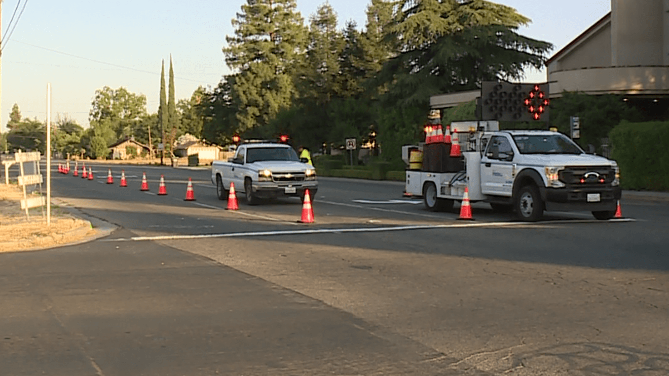
FRESNO CO, Calif. (FOX26) — Fresno County wants residents to help pinpoint trouble spots on local roads.
The Department of Public Works has rolled out an online mapping tool that lets anyone drop a pin, mark danger zones, and leave comments about places they’ve seen speeding, bad visibility, unsafe crossings, or other close calls.
You can find the map HERE.
It’s all part of the county’s ‘safe streets and roads for all’ action plan, which is an effort to cut down deadly and serious crashes by using what people are seeing every day in their own neighborhoods.
Comment with Bubbles
BE THE FIRST TO COMMENT
The map is easy to use and comments will be folded into the plan as the county builds out future safety improvements.