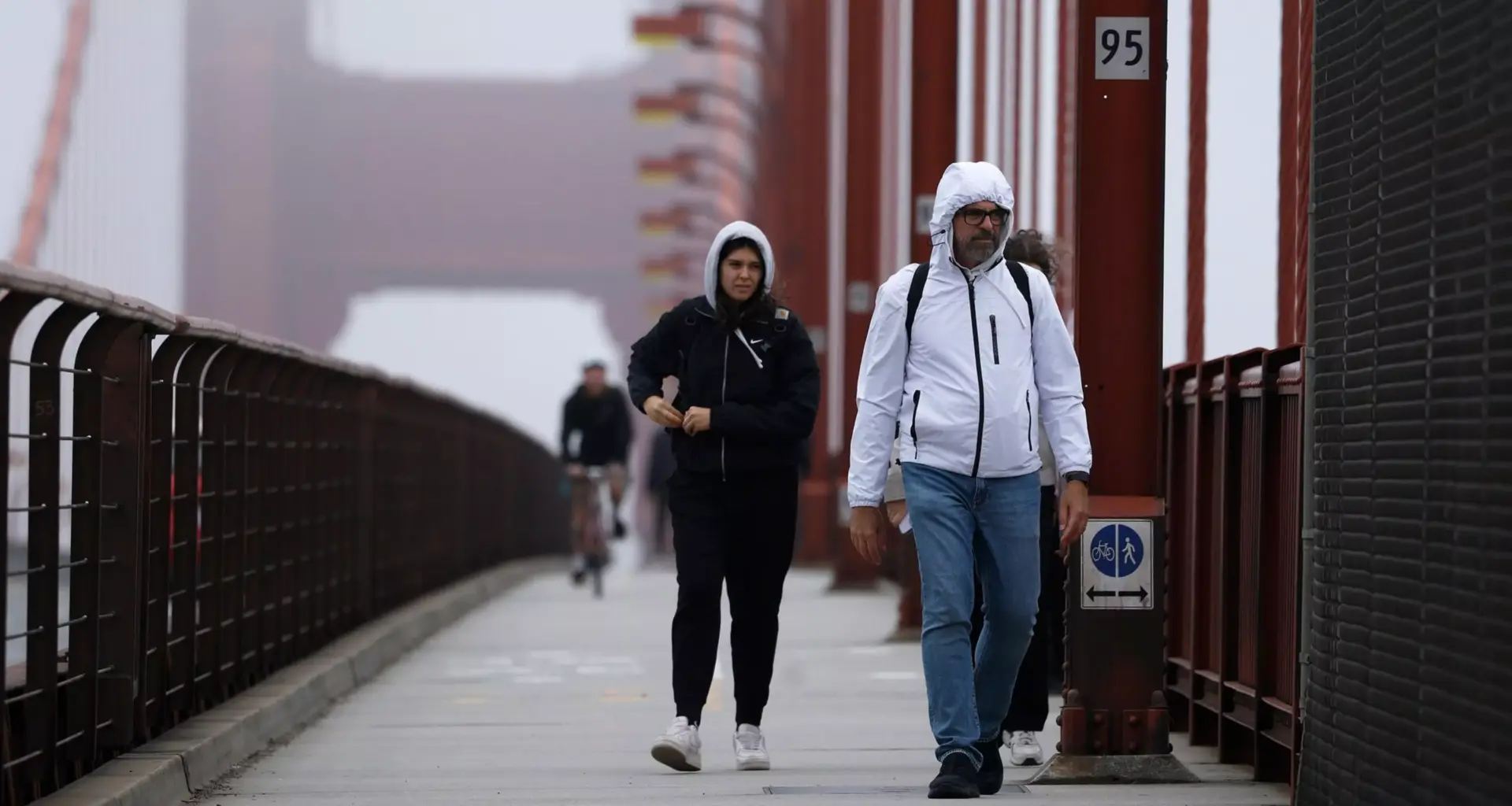
Forget about the supposed Mark Twain quote about San Francisco’s brisk summers: the coldest winter of our lives seems like it’s happening right now in what’s still technically fall.
San Francisco and Bay Area residents are notoriously finicky about what weather they can stand. Normally, residents would be tracking storms and muttering reluctantly about how much we need the rainfall at this time of year. But instead, everyone braving the outside is chattering about the relentless chill.
A stubborn high-pressure system parked over the eastern Pacific Ocean has kept much of the Bay Area locked in an extended stretch of chilly, foggy weather since late November, with little relief expected until late December, according to the National Weather Service.
The phenomenon, dubbed the “ridiculously resilient ridge,” has dominated the region’s weather pattern since around Nov. 20. It’s suppressed storm activity and allowed dense fog to settle over Central Valley and East Bay cities and towns.
What is the ‘ridiculously resilient ridge’?
The term was coined and popularized by state climate scientists during the severe drought of 2015-17 to describe a large area of high pressure that becomes entrenched in the atmosphere.
“It does ebb and flow when it comes to the upper atmosphere and overall flow pattern, but it’s not getting moved,” Matt Nehle, an NWS meteorologist, said of the stubborn weather event. “So that’s the resilient part.”
The result has been relatively benign conditions — no major storms — but persistent low clouds and fog that have rolled westward out of the Sacramento-San Joaquin Delta, through East Bay valleys and into San Francisco and the North Bay.
How cold has it actually been?
The fog has kept temperatures unusually depressed, at least 10 degrees cooler than normal highs for the time of year, according to weather service records (opens in new tab).
San Rafael recorded a low of 44 degrees and a high of just 47 degrees in recent days, Nehle said, pointing to a particularly frigid target of the weather system.
San Francisco’s Nov. 30 high of 50 degrees was a record low maximum temperature (opens in new tab) for the date — 1922 logged a slightly warmer 51 degrees. More recently, it was the lowest maximum temperature since late February 2023.
Before the cloud cover moved in about five days ago, overnight lows dipped into the mid-30s across North Bay valleys. Once the fog arrived, it moderated nighttime temperatures by limiting radiational cooling, keeping lows in the low to mid-40s.
The persistent gloom has also affected air travel, with local international airports all experiencing disruptions over the past two to three weeks.
Where are all the storms going?
While the Bay Area sits in a relatively quiet zone, the Pacific Northwest has been hammered with atmospheric rivers bringing heavy rain, snow, and flooding.
The jet stream — the steering flow of the upper atmosphere — has been routing moisture well north of California into Oregon and Washington.
When will conditions change?
Some relief is on the way, but not in the form of rain.
Over the next two to three days, the ridge is expected to strengthen, bringing warmer conditions. Highs could reach well into the 70s inland by Wednesday and Thursday, with coastal areas and Bay shoreline locations climbing into the 60s.
As for precipitation, forecasters see a possible brush with light rain starting next week. But any more significant pattern shift isn’t expected until the latter half of the month.
“We have to wait until about the 21st, the 22nd time frame, as we get close toward Christmas, to actually see any type of more notable precip moving into California,” Nehle said.
The key to ending the dry spell would be a southward shift in the jet stream that could dislodge the ridge and reopen the storm door to California.
“Watch the calendar, not the clock,” Nehle advised when it comes to expecting significant change.
Want warmth? Try the Central Coast
Bay Area residents seeking an escape from the persistent chill need only drive a few hours south, where a meteorological quirk sent temperatures soaring Tuesday morning.
Northeast winds flowing down the Santa Lucia mountain range near Big Sur triggered a process known as diabatic warming, pushing temperatures 30 to 40 degrees higher on the coastal side of the mountains compared to inland areas, according to Nehle.
While King City and other locations on the eastern slopes shivered in the 30s, communities like Gorda and Cambria along the coast basked in readings climbing into the 60s and 70s.
When air is forced down a mountainside and compressed by atmospheric pressure, it warms up and dries out. The same process drives the Bay Area’s notorious Diablo winds, Southern California’s Santa Ana winds and the Sundowner winds near Santa Barbara — though in this case, the warming brought welcome relief rather than the usual fire danger.
Nehle said locations as far south as San Luis Obispo and Pismo Beach likely experienced similarly balmy conditions, offering a stark contrast to the fog-shrouded Bay Area.

