
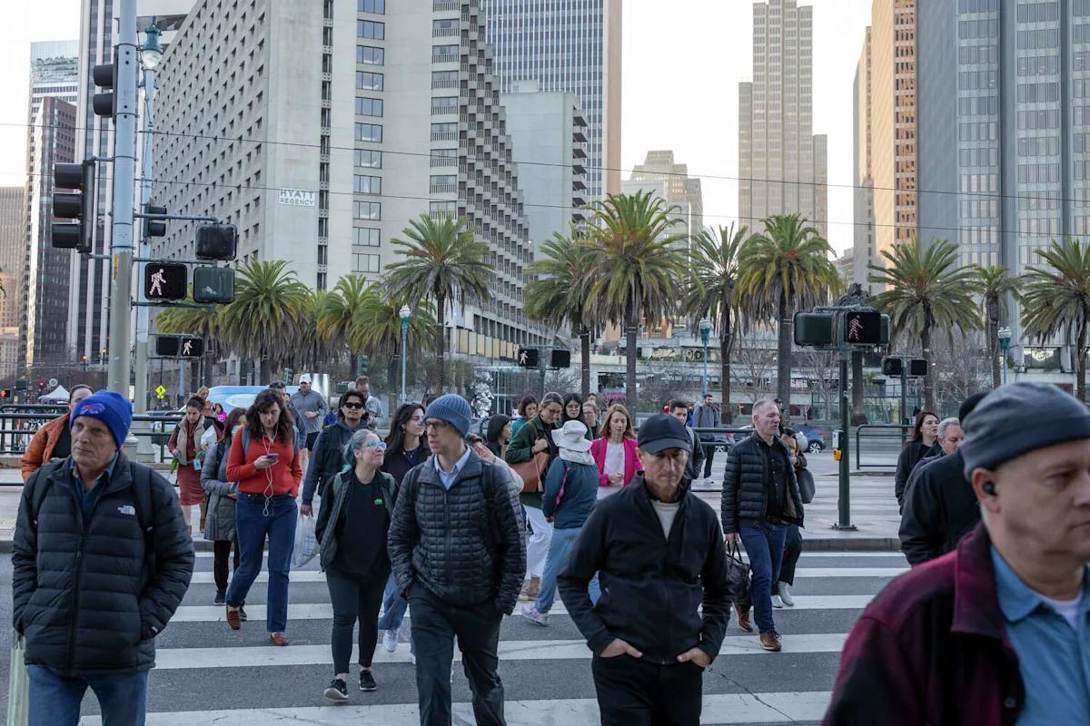
Swallowed by a chilly layer of fog, many California cities are experiencing their coldest start to December in decades.
San Francisco is running nearly 4 degrees below normal so far this month, based on maximum daily temperatures. It’s the coldest start to December in the city since 2013. It’s been even chillier in the Central Valley, North Bay and East Bay. Some cities are experiencing their coldest December in a half century.
The cold pattern stems from a bank of tule fog that has stuck around since before Thanksgiving. It started in the Central Valley and subsequently spilled westward toward the Bay Area. Were it not for the fog, the Bay Area and Central Valley would be delightfully warm right now.
{ “__type”: “devHubFreeformEmbed”, “__id”: “Datawrapper”, “__fallbackImage”: “https://datawrapper.dwcdn.net/PqluS/mobile.png”, “__data”: { “datawrapper_id”: “PqluS” } }
While San Francisco is most famous for summertime fog that blows in from the ocean, tule fog is different: It forms over land. The Central Valley becomes a fog-making machine in the wintertime, especially following rains, such as those California experienced last month. Clear, cold nights and calm winds are the perfect recipe.
Tule fog can linger for days or weeks at a time, keeping areas beneath it chilly.
The cold spell shows no signs of ending. There are no storms on the horizon to blow the fog away. It may get whittled down around the edges by the weekend, leading to afternoon sunshine and a slight warming in the North Bay and East Bay as well as San Francisco, but Sacramento and Fresno will probably remain overcast through at least mid-December. Whether the fog continues through the end of the month is difficult to predict.
{ “__type”: “devHubFreeformEmbed”, “__id”: “Datawrapper”, “__fallbackImage”: “https://datawrapper.dwcdn.net/QgTRD/mobile.png”, “__data”: { “datawrapper_id”: “QgTRD” } }
Where there’s no fog, it’s been sunny and pleasant. Days have been warmer in Tahoe than in Sacramento recently, where skies are clear. Temperatures are forecast to reach the 60s in South Lake Tahoe this week, threatening December records.
This pattern is known as a temperature inversion, when cold, dense air is trapped beneath warmer air above. Without any winds to mix the air around or strong sunshine to burn the fog away (since the winter sun angle is low and weak), the pattern holds in place. Tule fog is rare in spring, when the sun is higher in the sky. Inversions also trap pollutants near the ground, leading to poor air quality.
While the temperature contrast between the Sierra is most striking, coastal locations are also warmer than the valley.
Fog has avoided Big Sur, where the average high temperature this month is 65 degrees. Santa Cruz and Monterey are experiencing similar conditions. Even Half Moon Bay was hitting the 60s, warmer than any other Bay Area city to start December. Southern California was even warmer. Los Angeles was forecast to reach the low 80s this week, about 15 degrees above normal.
Tule fog is a staple of California winter weather, but the recent stretch is notable. It’s one of the Central Valley’s foggiest spells since January 2011, which wound up even colder with many nights that approached freezing. December 2021 also featured an extended period of tule fog following a wet fall.
This article originally published at Why it’s been so cold in the S.F. Bay Area – and how long it will last.