
A powerful atmospheric river headed for Southern California is expected to drop several inches of rainfall, creating the potential for travel challenges primarily on Christmas Eve extending into Christmas, forecasters said Monday, Dec. 22.
The storm is due to arrive during the day Tuesday and will gradually intensify, bringing the heaviest rainfall from Tuesday night into Wednesday, forecasters with the National Weather Service said. A flood watch is to be in effect from 4 p.m. Tuesday to 10 p.m. Wednesday.
“This will be the first heavy pulse of the atmospheric river,” said Rich Thompson, a meteorologist with NWS’ Oxnard office.
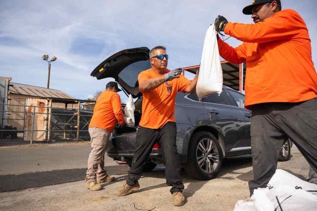
Los Angeles County Public Works crew loads sandbags in Donald Wright’s vehicle as he waits on Monday, December 22, 2025 in Altadena. Wright’s family lost three homes in the Eaton fire. (Photo by Sarah Reingewirtz, Los Angeles Daily News/SCNG)
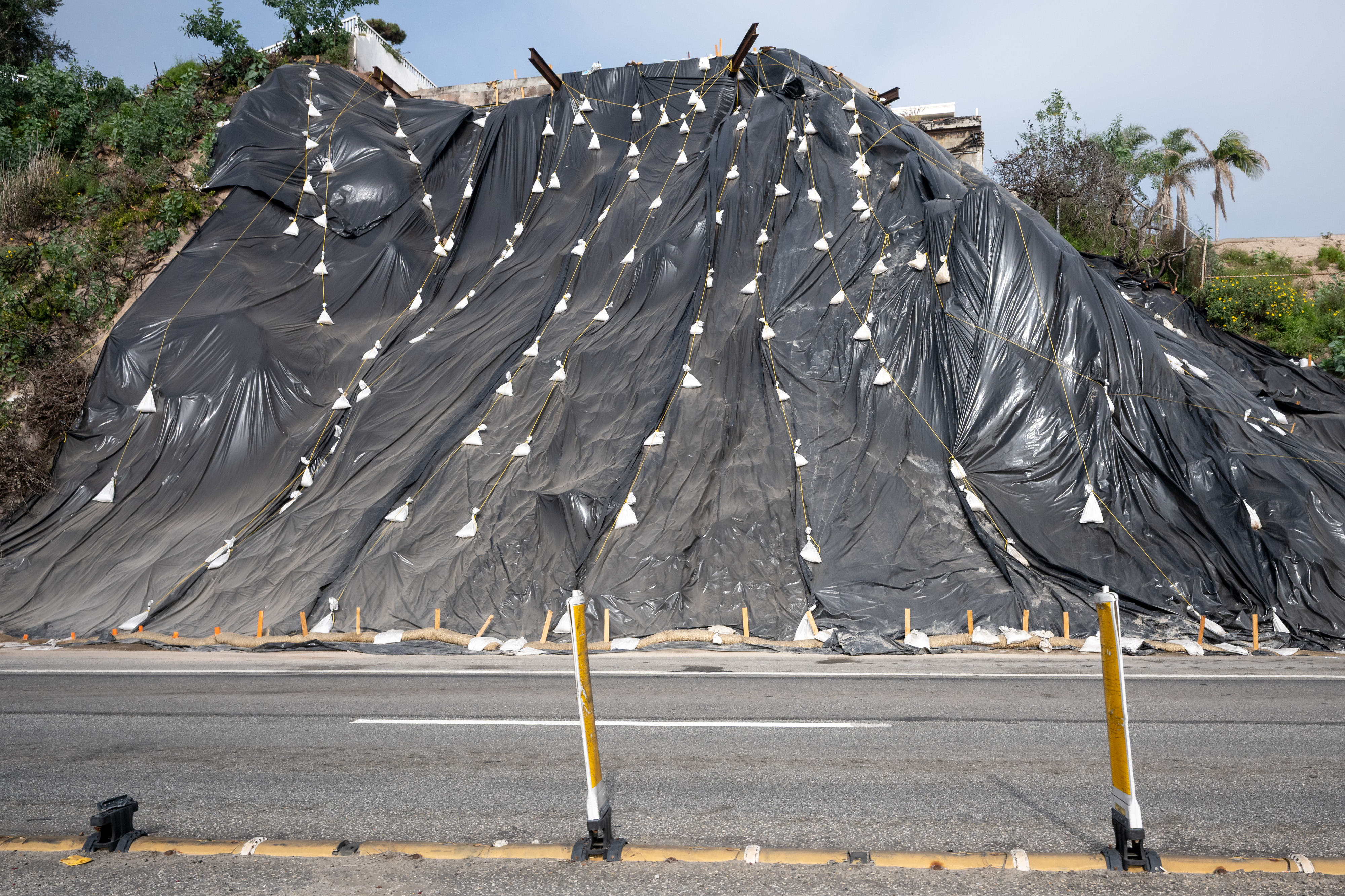
A hillside is covered with protective plastic along Pacific Coast Highway near Sunset Blvd on Monday, December 22, 2025. Southern California expects to receive between 4 and 8 inches of rain over the next several days. (Photo by David Crane, Los Angeles Daily News/SCNG)
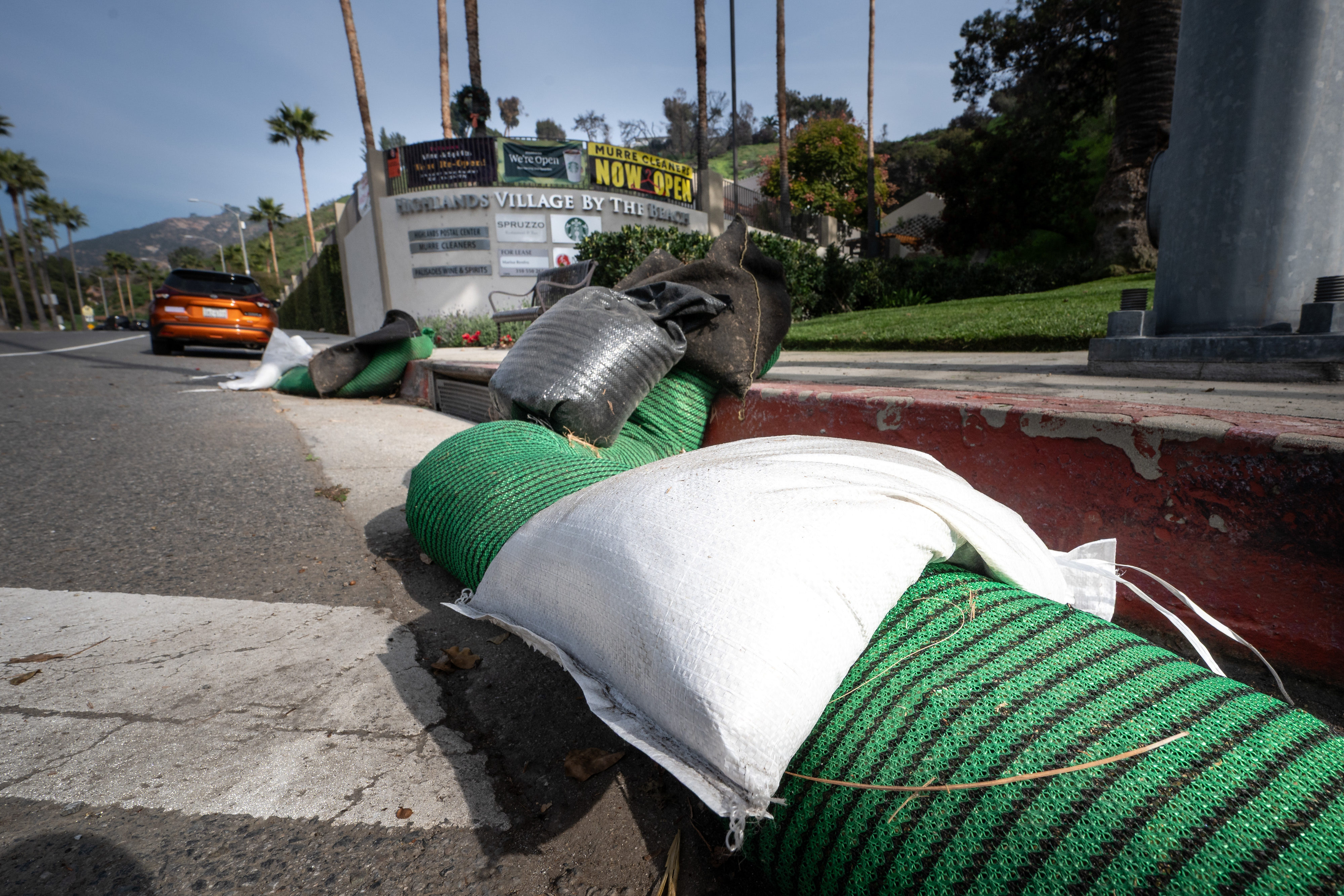
Sandbags are lined up along the Palisades Drive near Sunset Blvd on Monday, December 22, 2025. Southern California expects to receive between 4 and 8 inches of rain over the next several days. (Photo by David Crane, Los Angeles Daily News/SCNG)
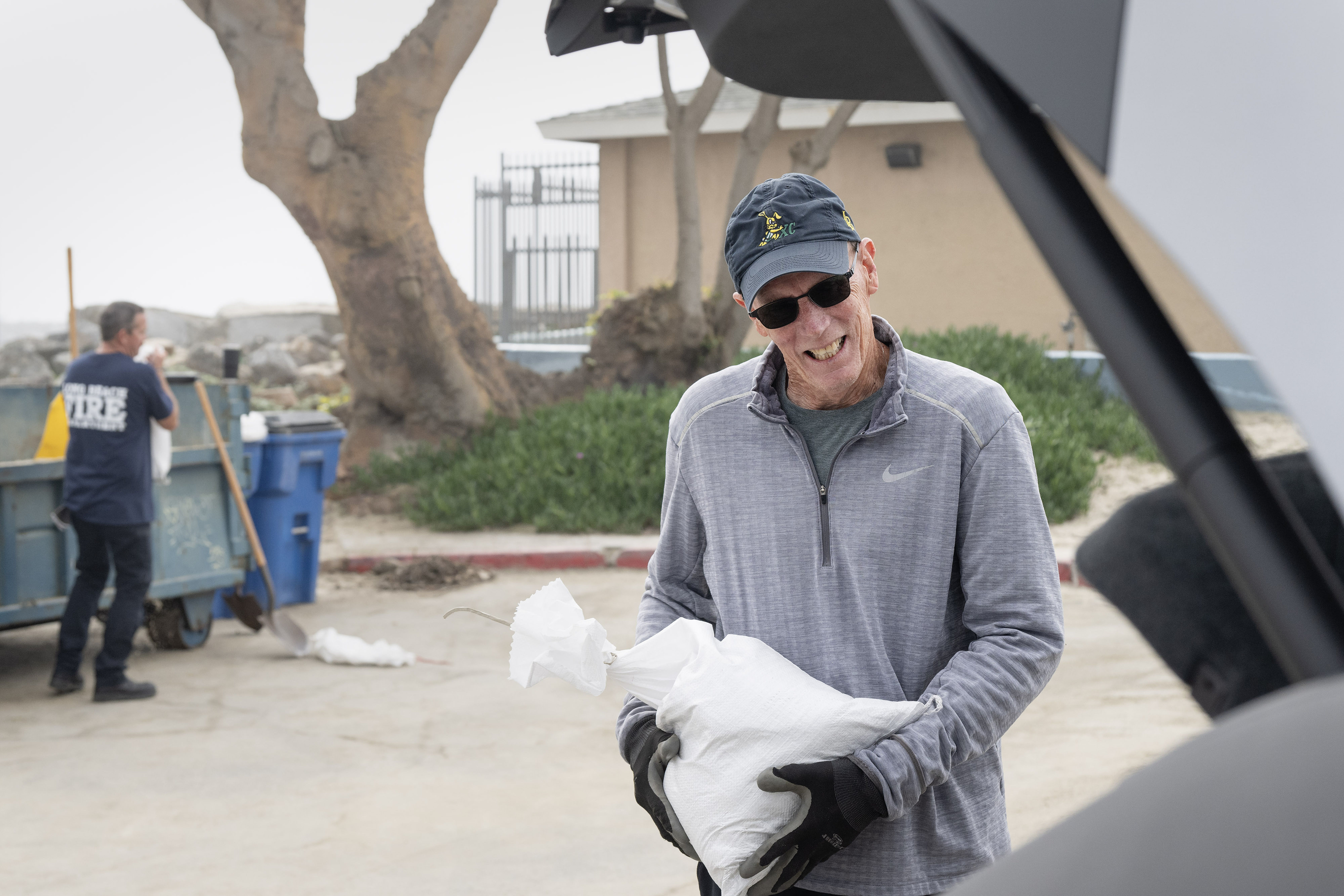
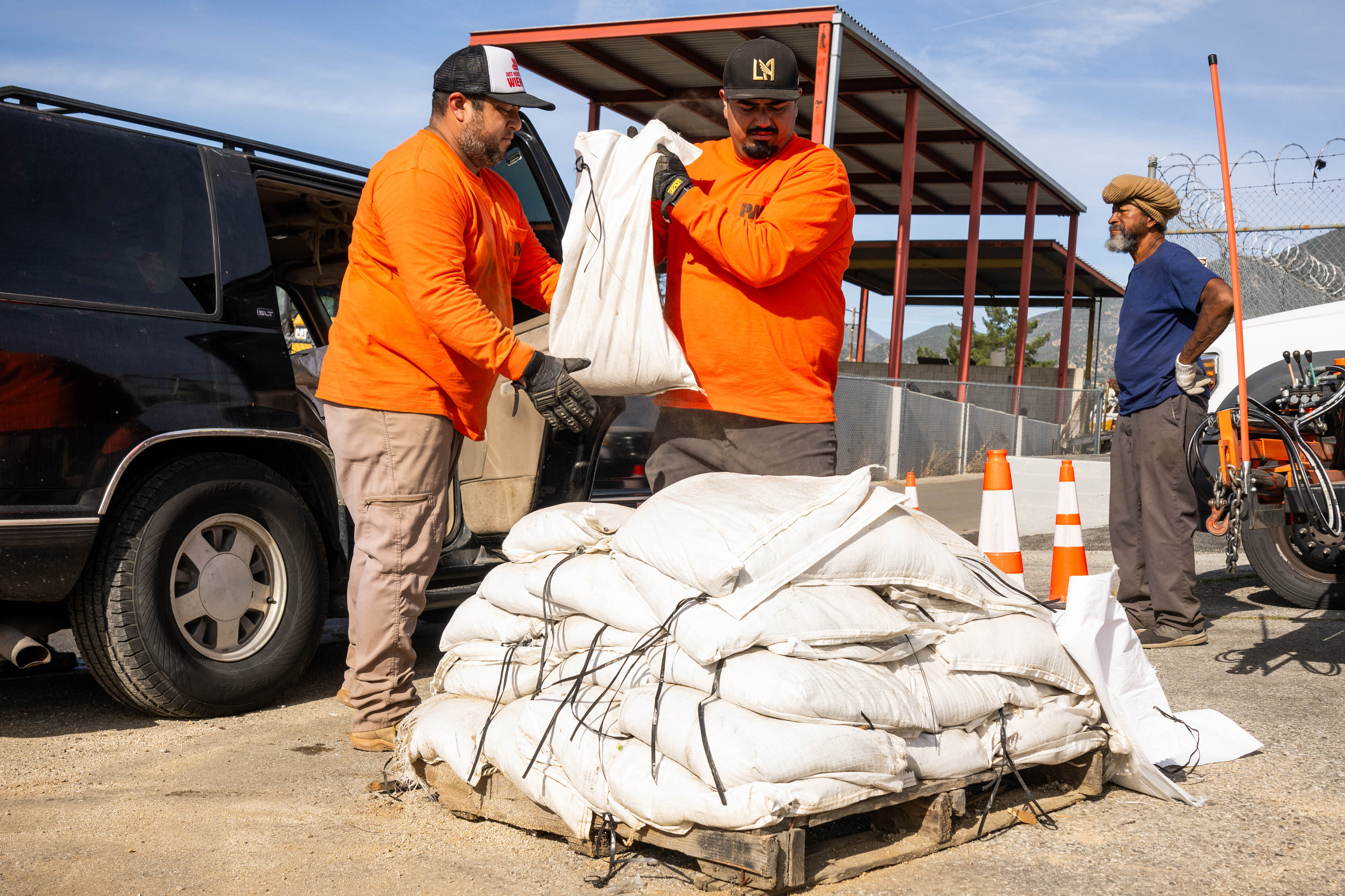
Joe Carlson loads sandbags to protect his home on the peninsula in Long Beach on Monday, December 22, 2025. (Photo by Drew A. Kelley, Press-Telegram/SCNG)
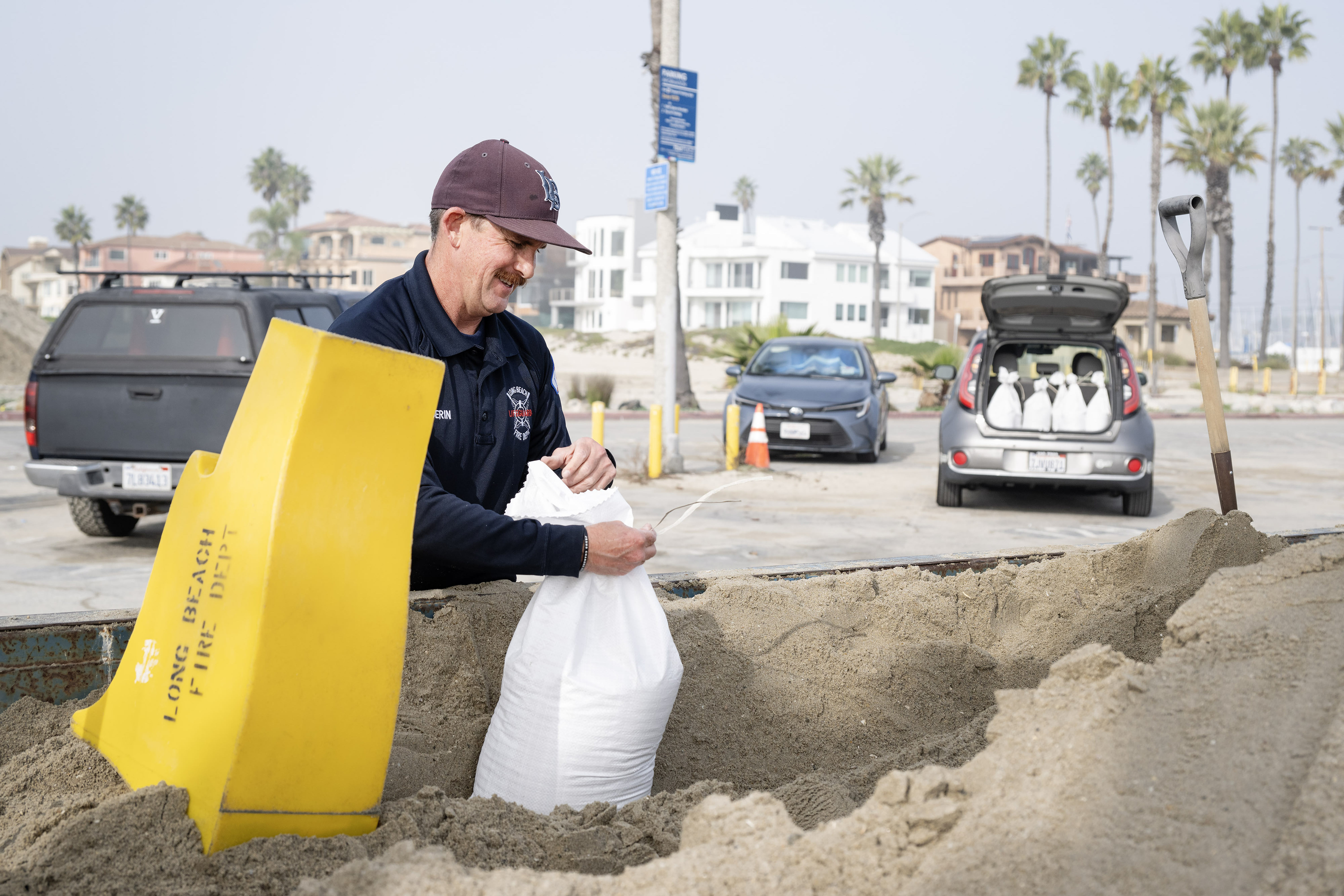
Ocean Lifeguard Sean Guerin prepares sandbags for distribution outside the 72nd Place Lifeguard Station in Long Beach on Monday, December 22, 2025. (Photo by Drew A. Kelley, Press-Telegram/SCNG)

From right, Ocean Lifeguard Sean Guerin prepares sandbags for Kim Kelly outside the 72nd Place Lifeguard Station in Long Beach on Monday, December 22, 2025. (Photo by Drew A. Kelley, Press-Telegram/SCNG)
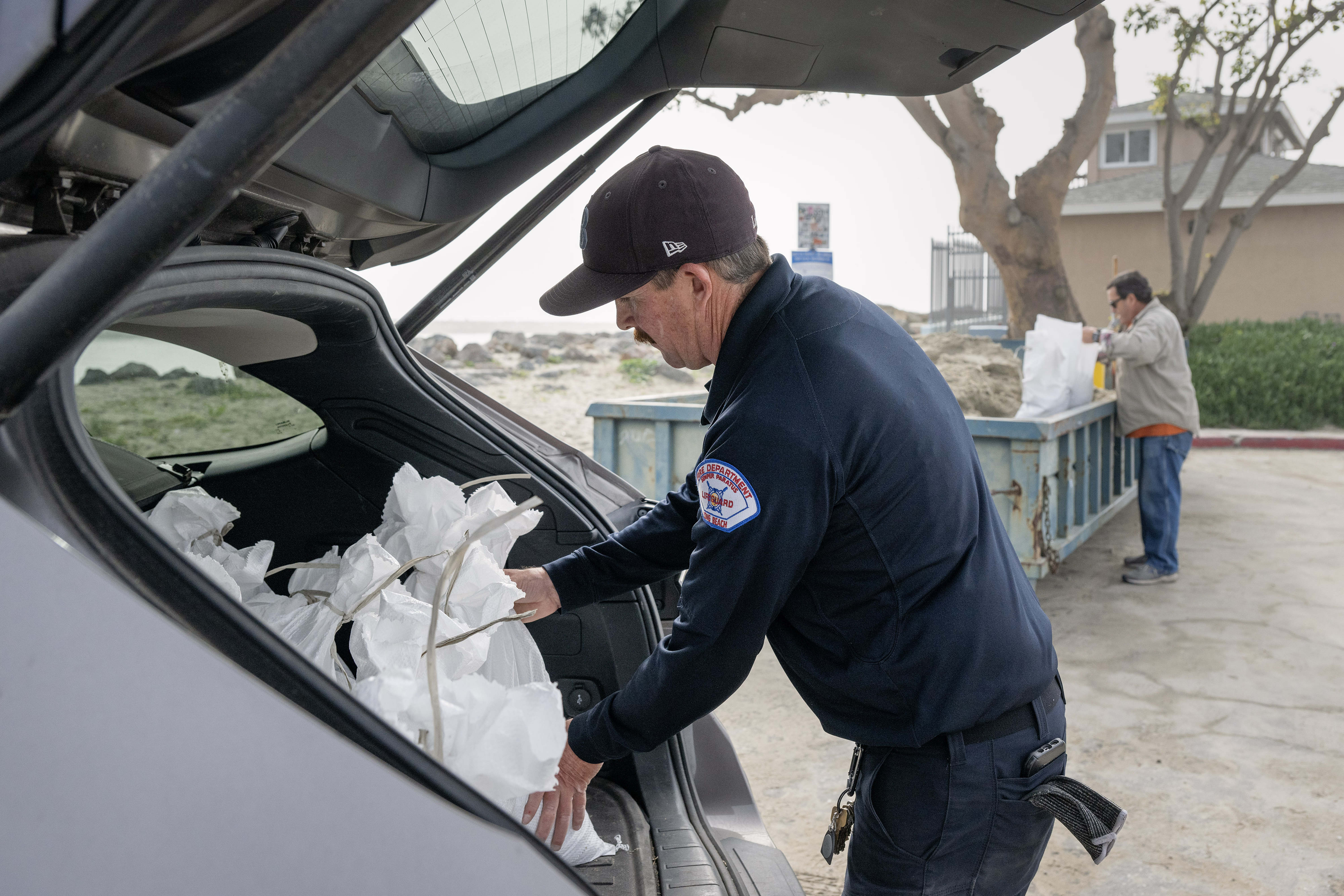
Ocean Lifeguard Sean Guerin loads sandbags outside the 72nd Place Lifeguard Station in Long Beach on Monday, December 22, 2025. (Photo by Drew A. Kelley, Press-Telegram/SCNG)
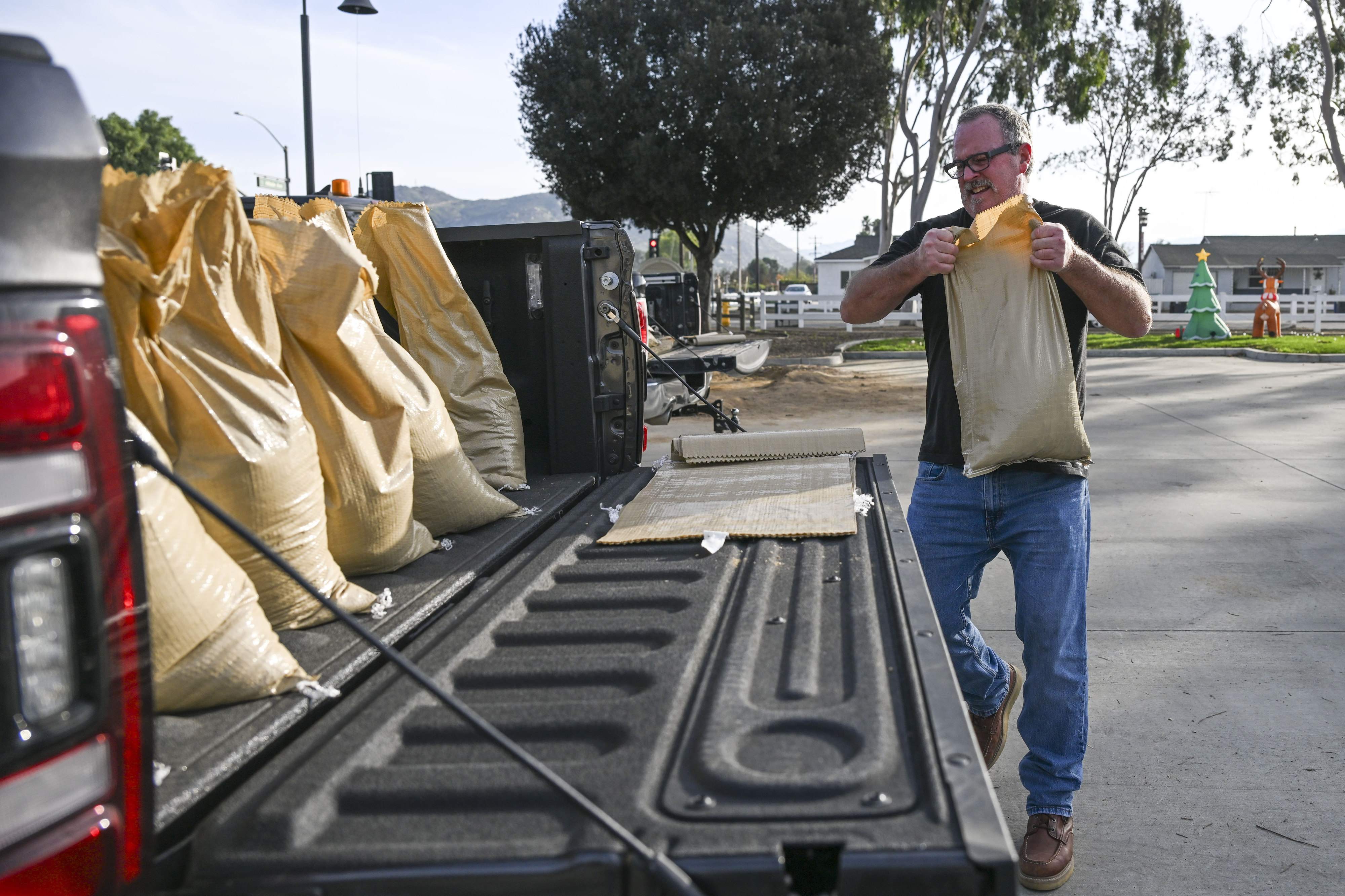
Norco resident Terry McCauley fills his truck with sandbags at the Riverside County fire station in Norco on Monday, Dec. 22, 2025, as he prepares for the incoming storm. McCauley hopes to prevent water from pooling on his patio and entering his home. (Photo by Anjali Sharif-Paul, The Sun/SCNG)
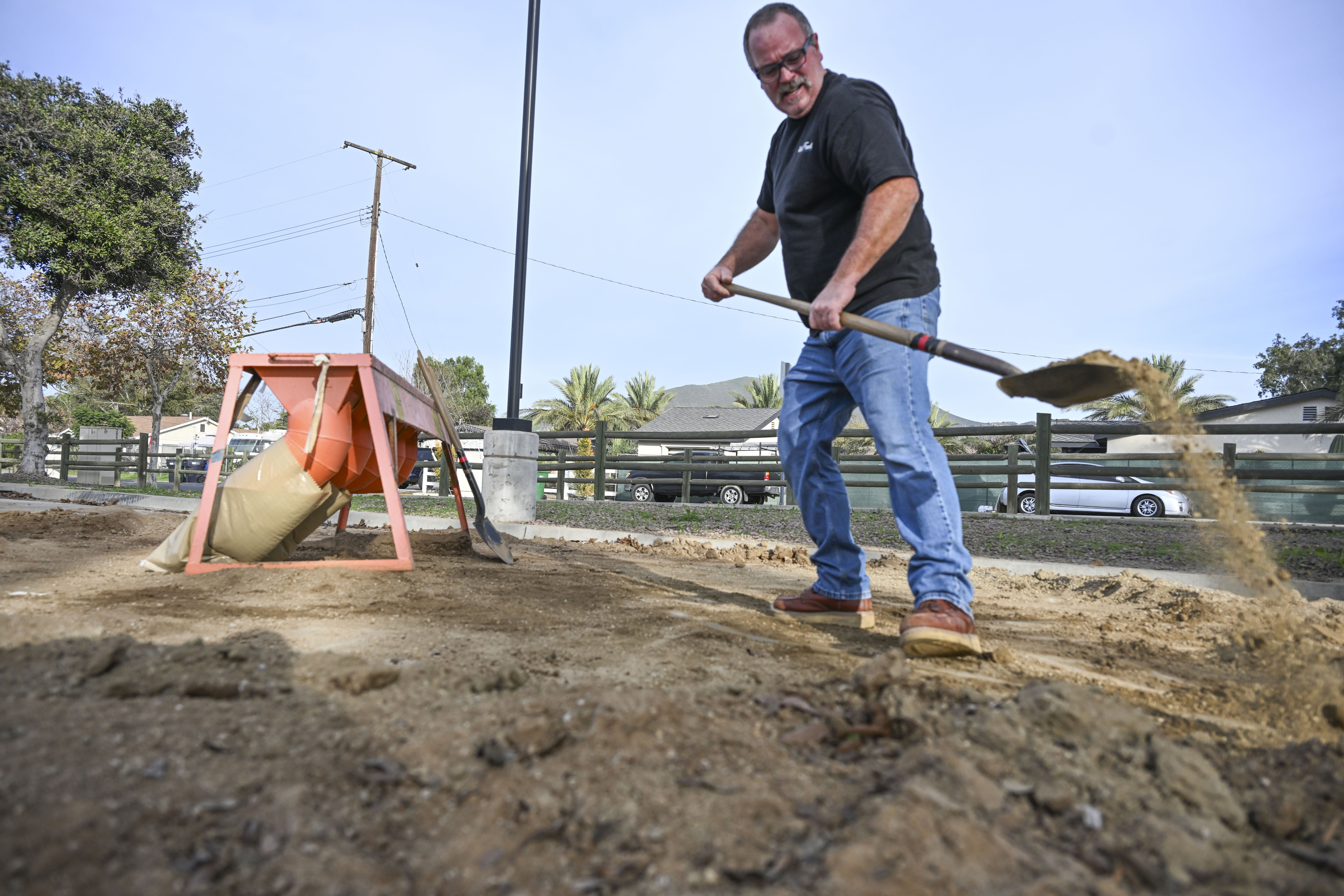
Norco resident Terry McCauley fills sandbags at a Riverside County fire station in Norco on Monday, Dec. 22, 2025, preparing for an incoming storm. McCauley hopes to prevent water from pooling on his patio and entering his home. (Photo by Anjali Sharif-Paul, The Sun/SCNG)
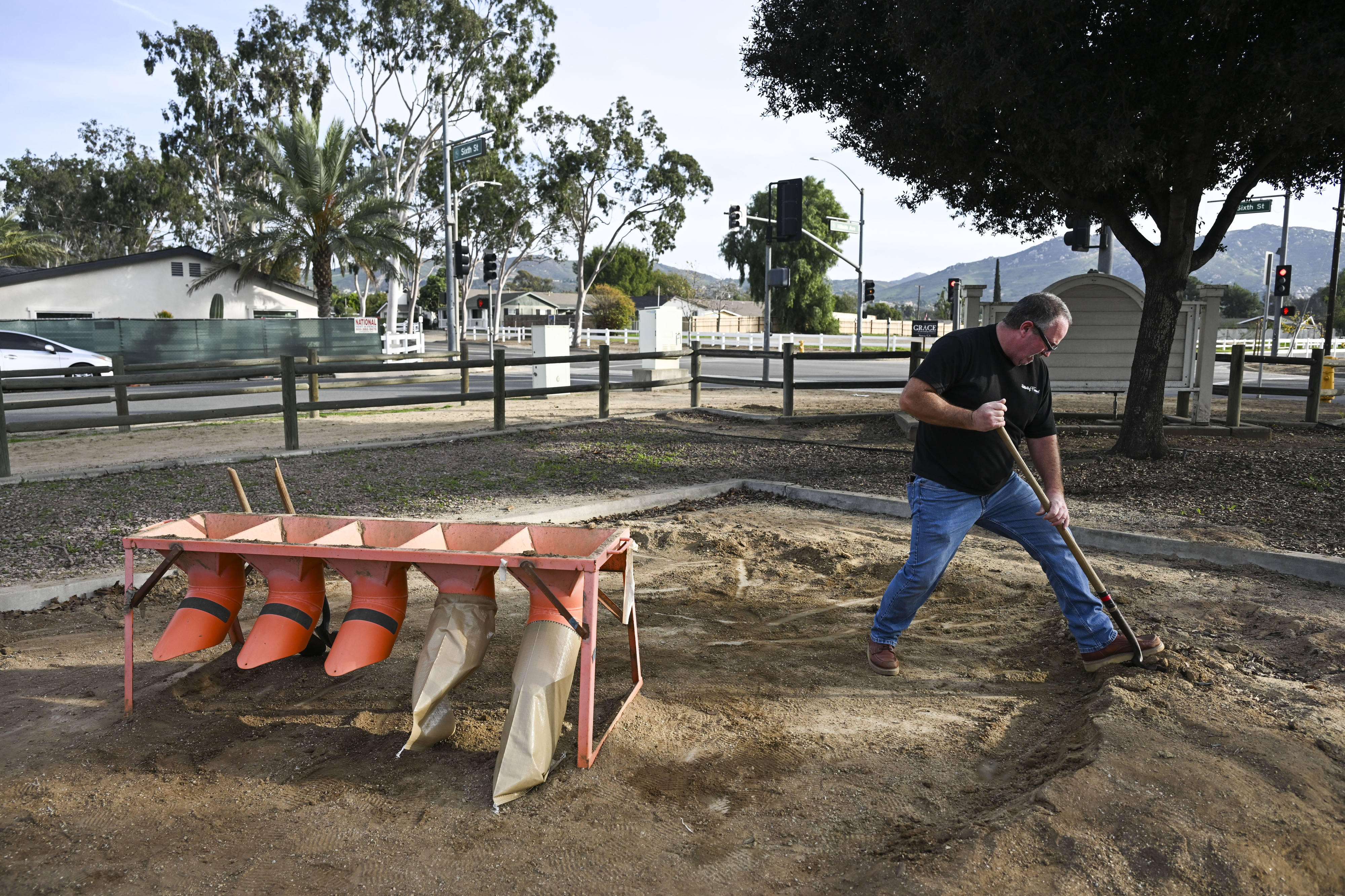
Norco resident Terry McCauley fills sandbags at a Riverside County fire station in Norco on Monday, Dec. 22, 2025, preparing for an incoming storm. McCauley hopes to prevent water from pooling on his patio and entering his home. (Photo by Anjali Sharif-Paul, The Sun/SCNG)
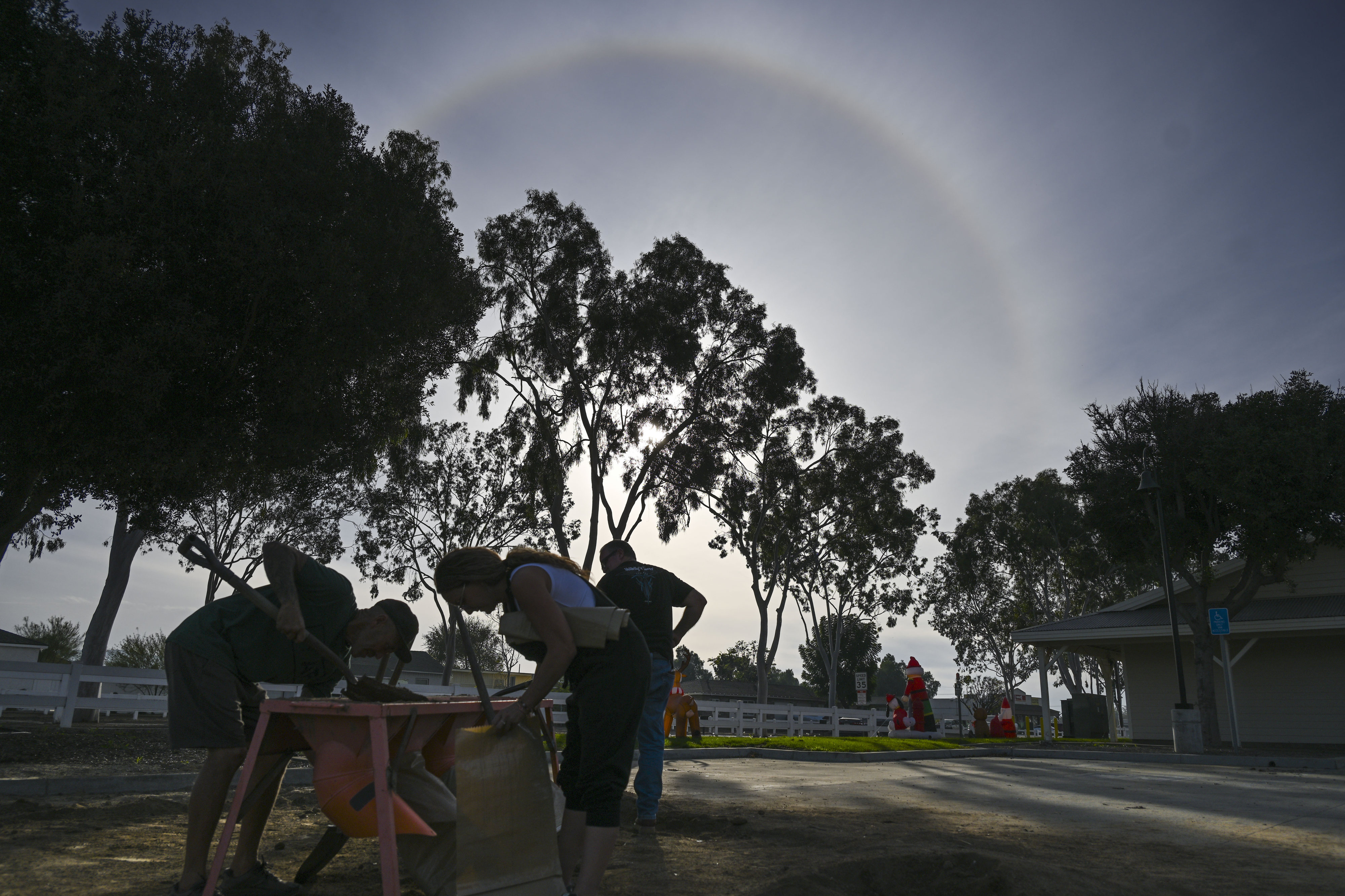
Norco residents fills sandbags at a Riverside County fire station in Norco on Monday, Dec. 22, 2025, preparing for an incoming storm as a rainbow shines behind. (Photo by Anjali Sharif-Paul, The Sun/SCNG)
Show Caption
1 of 11
Los Angeles County Public Works crew loads sandbags in Donald Wright’s vehicle as he waits on Monday, December 22, 2025 in Altadena. Wright’s family lost three homes in the Eaton fire. (Photo by Sarah Reingewirtz, Los Angeles Daily News/SCNG)
A second surge is anticipated on Christmas Day, but will not be quite as strong, forecasters said. The storm was likely to start tapering off on Saturday.
Los Angeles County valleys and coastal areas could see 4 to 8 inches through Saturday, Thompson said.
Residents in valley and coastal areas in Orange County and the Inland Empire could see upwards of 4 inches by the end of Wednesday, said Lauren Villafane, a meteorologist with NWS’ San Diego office.
The LA County mountains are expected to see between 6 and 12 inches of rainfall, while mountain ranges in Orange County and the Inland Empire could see 5 to 9 inches during the same period, forecasters said.
Snow is not likely to fall below 7,500 feet until the weekend, they said, because of a warm air mass and subtropical moisture associated with the atmospheric river, Thompson said. Over the weekend, snow levels may be seen at elevations of 7,000 feet and above.
But the primary concern for forecasters is Christmas Eve, when heavy rainfall could bring mudslides and debris flows to burn scar areas and the possibility of urban flooding, Thompson said.
“The LA River won’t be overflowing, but there will be significant flow, so there could be swift water rescue issues there,” Thompson said. “Pretty much anything you can imagine with bad water things are definitely possible with this storm.”
Forecasters recommend keeping an eye out for road closures and preparing for additional travel time. Do not attempt to cross flooded roadways, they warn.
“Be prepared to react to whatever local emergency officials say needs to be done,” Thompson said of those in burn scar areas. “Don’t try to traverse flooded roadways, and beware of the possibility of falling trees and downed power lines.”
The storm also will bring fairly significant southeasterly winds, mostly during the first heavy period from Tuesday night into Wednesday, forecasters said.
Los Angeles’ Emergency Operations Center was activated Monday to coordinate preparedness measures for the upcoming storm, city officials said, with resources strategically deployed to assist with swift water rescues, mud and debris flows and other rain-related issues “with a specific focus in burn scar areas.”
The Los Angeles Homeless Services Authority on Monday began conducting outreach to inform the population of the weather and provide them with safety information and supplies, officials said.
In Pasadena, where some residents’ homes are near Eaton fire burn scars, sandbags were available at Pasadena Fire Department Station 37, 3430 E. Foothill Blvd., and Station 38, 1150 Linda Vista Ave., from 8 a.m. to 5 p.m., officials said.
Residents were urged to consider installing protective barriers to keep water and debris away from structures and to clear debris from gutters and downspouts to improve water flow. Residents were also urged to prepare emergency go bags in the event of an evacuation warning or order.
Captain David Danzig with the Los Angeles County Fire Department said the agency is constantly monitoring the weather as the upcoming storm develops.
“Our biggest concern in any type of rain is these burn scar areas from recent wildfires,” he said. The department encourages use of sandbags and staying away from moving channels.
The county is constantly working on a staffing plan as the storm approaches, with rescue swimmers on helicopters and rescue staff always a priority during rain.
Coordination and preparation was also taking place in San Bernardino County, said Christopher Prater, spokesman for the county’s fire department.
“Our biggest concern is the areas affected by the burn scar of the Line and the Bridge fire,” he said.