
California’s powerful Christmas storm isn’t just bringing flooding rain, damaging winds, and blizzard conditions in the mountains, it may also unlock one of the state’s rarest weather threats.
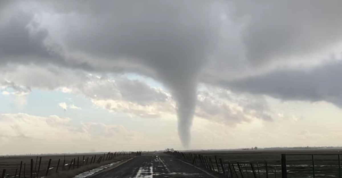
Forecasters say a unique storm setup unfolding this week could allow waterspouts or brief tornadoes to develop along the coast and parts of the Central Valley. While the odds remain low for any single location, meteorologists believe conditions are favorable enough that at least one tornado somewhere in California is possible between Tuesday night and Friday.
“This is one of the more favorable tornado setups we’ve seen here in quite a while,” said climate scientist Daniel Swain with UC Agriculture and Natural Resources.
The National Weather Service Storm Prediction Center has outlined a multi-day window for potential severe storms. Coastal areas from Crescent City to Santa Barbara could see waterspouts or short-lived tornadoes Tuesday night, with the threat shifting south and inland on Wednesday.
By Wednesday afternoon, parts of the Central Valley—from Chico to Fresno—could see rotating storms if breaks in cloud cover allow surface temperatures to rise. The Bay Area faces its highest risk overnight Tuesday and Wednesday, increasing the importance of receiving emergency alerts while sleeping.
Meteorologists point to a rare collision of cold Arctic air and warm, moisture-rich subtropical air over the Pacific, paired with strong winds close to the ground—ingredients that can help storms begin to rotate.
In addition to tornadoes, thunderstorms could produce hail, lightning, and damaging wind gusts. Officials emphasize that flooding and falling trees still pose the greatest danger, but urge Californians to remain alert as this unusually dynamic storm moves through the state.