

A rare tornado warning was issued and later canceled in Los Angeles County on Wednesday as a massive winter storm brought record rainfall, strong winds and dangerous conditions during the Christmas holiday period.
The latest warning from the National Weather Service (NWS) came as residents already face the threat evacuations, flash flooding and severe travel disruptions across Southern California.
The alert, which expired at 10:45 a.m. local time, said people in the areas of Altadena, Pasadena, Alhambra, Monterey Park and East Los Angeles should take cover.
 Why It Matters
The Christmas storm highlighted the increasing frequency of powerful weather events impacting California—a region unaccustomed to tornado threats and such high December rainfall.
The combination of the tornado warning, intense flooding and life-threatening mudslides forced thousands to alter holiday plans, tested emergency response systems and raised concerns about infrastructure resilience in one of America’s largest metropolitan areas.
With many traveling or gathering for the holidays, officials warned that the risk to life and property was significantly higher than during a typical storm event.
What To Know
The NWS issued a tornado warning the morning of Christmas Eve for parts of east-central Los Angeles County, including Alhambra, Rosemead and Monterey Park. Residents in affected areas received urgent instructions to take cover in basements or interior rooms and to avoid windows because of the threat of flying debris.
The NWS warning instructed people to “TAKE COVER NOW!” with officials advising people to take cover in “a basement or an interior room on the lowest floor of a sturdy building. Avoid windows.”
The warning was prompted by radar-detected wind rotation but was canceled shortly after as no tornado made ground contact, the San Francisco Chronicle reported.
A severe thunderstorm warning remained in effect, calling attention to wind gusts reaching 60 mph. The NWS explained that tornado warnings are issued when either rotation is detected aloft or a funnel is spotted, but a tornado is confirmed only if it touches the ground or water.
Record Rainfall, Flooding And Evacuations
The storm responsible for the warning is a long-duration atmospheric river event forecast to dump 4 to 8 inches of rain across urban Los Angeles, with up to a foot in mountain and foothill areas.
The heaviest rainfall is expected on Christmas Eve and Christmas Day, putting nearly all of Los Angeles County at risk for life-threatening floods, rockslides and mudslides.
The threat also extends from southeast Santa Barbara through Ventura County and into central Los Angeles County.
“We haven’t had an atmospheric weather event like this in some time, probably more than four or five years,” Mark Pestrella, director of L.A. County Public Works, told KTLA on Tuesday.
County officials issued mandatory and voluntary evacuation orders for nearly 400 properties in areas burned by recent wildfires because of the heightened risk of mud and debris flows, the LAist reported.
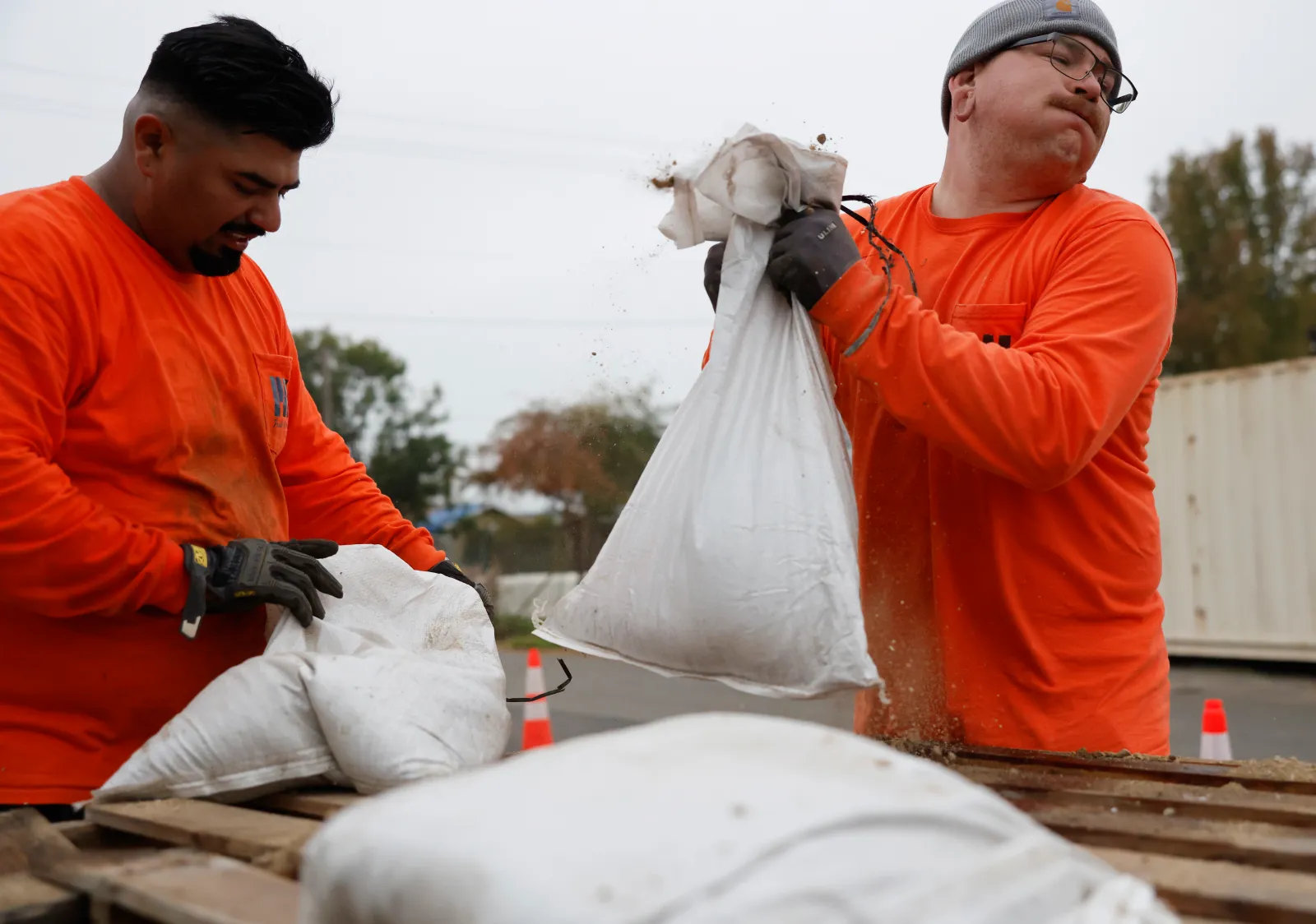
Residents in Pasadena, Altadena, Ventura County and other affected zones worked to protect homes with sandbags and prepared for possible displacement. Emergency crews and law enforcement officers went door-to-door to notify those at highest risk.
Travel Disruptions And Emergency Measures
The storm’s timing created significant holiday travel headaches, with multiple major road and canyon closures, delays and flight disruptions.
Officials urged residents to stay off the roads whenever possible and to check weather and road conditions before attempting to travel. The dangerous conditions have already resulted in flooding, downed trees and power outages across Los Angeles County and neighboring regions.
Several attractions have been closed because of the storm, including the L.A. Zoo and Six Flags Magic Mountain, KNBC reported.
Residents have been advised to bring pets indoors, use flashlights instead of candles, report non-emergency damage via 311 and assume all downed power lines are electrified and dangerous.
What People Are Saying
Mark Pestrella, director, L.A. County Public Works, told KTLA on Tuesday: “We haven’t had an atmospheric weather event like this in some time, probably more than four or five years. We get about 15-17 inches of rain a year and we’re looking at getting that in the next three to four days.”
Ariel Cohen, meteorologist, National Weather Service, told LAist on Wednesday: “We are going to be having widespread areas of significant flooding in urban areas along freeways, and rockslides and mudslides as well. That will make it dangerous, not just dangerous, but life-threatening conditions in many areas if you’re traveling out and about.”
Los Angeles Mayor Karen Bass, in a statement on Wednesday: “Staying off the roads whenever possible keeps you safe and frees up the lanes for our first responders and public works crews.”
What Happens Next
The tornado warning for Los Angeles County was canceled, but severe thunderstorm and flood warnings remain as the storm continues through Christmas Day and into the weekend.
The NWS forecasts rain and damaging winds will last until Saturday, with the potential for additional rockslides, mudslides and further infrastructure damage.
Residents are urged to heed all official warnings, monitor real-time emergency alerts and prepare for further potential evacuations and power outages as the atmospheric river event progressed.
Update 12/24/25, 2:03 p.m. ET: This story has been updated with more information.
Update 12/24/25, 3:36 p.m. ET: This story has been updated with more information.