
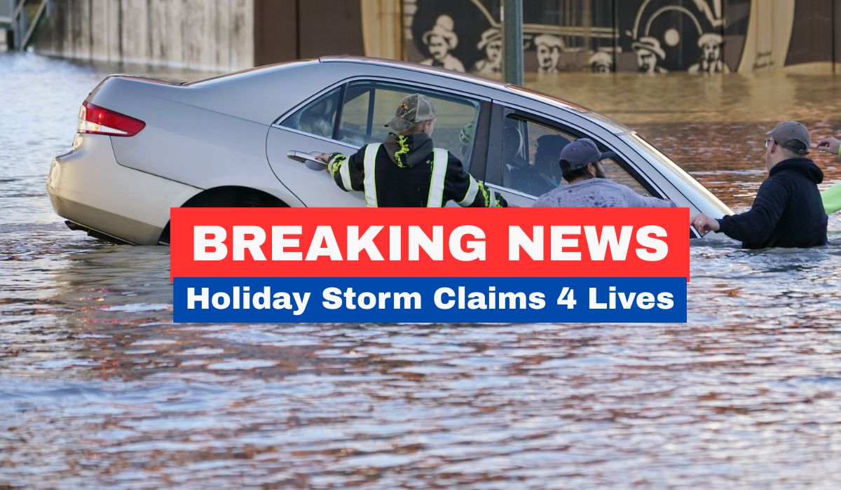
California’s holiday storm sequence is producing a different—but equally consequential—set of travel hazards: debris flows and mudslides in burn-scar and mountain communities, coastal flooding and high surf, and dangerous mountain conditions with avalanche risk.
The state already soaked by days of rain was hit again on Christmas Day, prompting evacuation warnings and high surf advisories as thousands lost power.
The human toll and the scale of disruption are central to the story. News outlets report the storm system has been blamed for at least 4 deaths, including a San Diego fatality from a falling tree and the death of a Sacramento sheriff’s deputy in what appeared to be a weather-related crash.
The same report notes that waves near the San Francisco Bay Area were expected to reach up to 25 feet, a level that can quickly force closures and make shoreline sightseeing and coastal driving dangerous.
Officials and forecasters are using unusually stark language. Sky News quotes the National Weather Service saying “life-threatening atmospheric river conditions” would continue through Christmas Day.
On the ground, residents describe how quickly routine holiday plans turned into emergency routines. In Wrightwood, one resident told the AP report: “It’s really a crazy Christmas.”
Why travelers should treat this as a statewide issue
Storm impacts are not confined to one metro area. The AP/Scripps report describes conditions in mountain towns where roads turned into channels of rocks and thick mud, and notes that more than 70,000 people were without power at one point.
In addition to coastal hazards, mountain travel becomes precarious: the same AP report references near white-out conditions, a high avalanche risk around Lake Tahoe, and significant snow totals at ski resorts with more expected.
An important amplifying factor: flash flooding and mudslides can be especially severe in areas affected by prior wildfires, and forecasters warned about those risks while rescues and evacuation orders were underway.
Travel guidance based on the hazards described in the report

Coastal travel: If you’re planning scenic drives, beaches, or cliffside viewpoints, treat high-surf advisories as a stop sign. Large surf can overtop seawalls, sweep rocks and debris onto roads, and create sudden closures.
Mountain routes: Avoid discretionary mountain pass travel during whiteout or heavy-snow windows; avalanche risk and strong winds can close routes with little notice.
Evacuation zones: If you’re lodging in or near mountain towns under evacuation warnings, build a rapid-exit plan and keep fuel levels high; mudslides can isolate communities quickly.
Power and services disruption: Assume intermittent outages may impact charging, heating, card payments, and even fuel station operations—especially in smaller communities.
The bottom line for US travelers is that California’s holiday storm is not just “bad weather.” It is a multi-hazard event—flooding, mudslides, high surf, heavy mountain snow, and service interruptions—occurring during one of the busiest travel weeks of the year.
If your trip is flexible, the safest choice is often to shift timing and avoid high-exposure routes (coastlines during peak surf; mountain passes during heavy snow/wind) until warnings ease and transportation agencies reopen affected corridors.