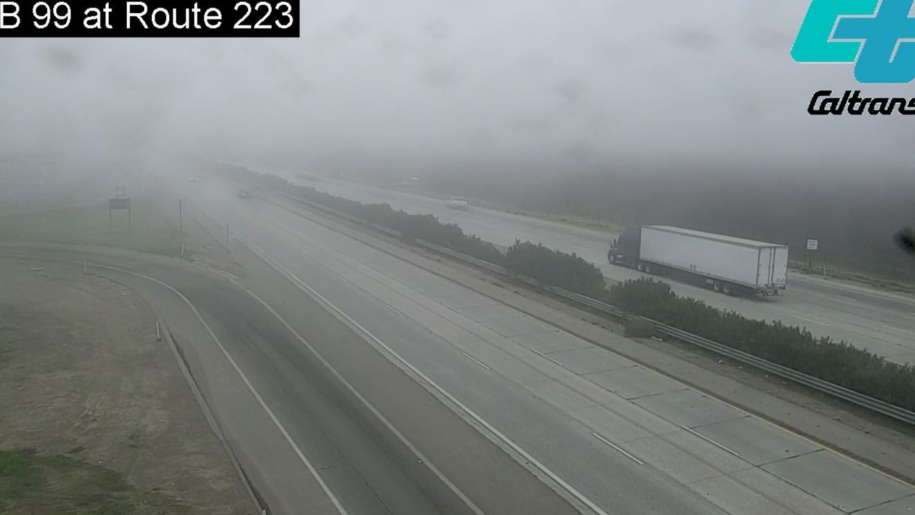
BAKERSFIELD, Calif. (KBAK/KBFX) — THE TULE FOG & CLOUDS HAVE RETURNED
Last week’s storm delivered a renewed batch of moisture to the area and this weekend’s high pressure was all to happy to nose on in to the West Coast. California’s Central Valley once again got caught in-between and the fog was back Sunday morning, with clouds lasting the whole day across the South Valley. Not surprisingly, temperatures didn’t get anywhere close to warm in the area as a result. The atmospheric pattern will continue to be supportive of renewed fog and low cloud development Monday and Tuesday for the South Valley, so it’s a good idea to practice fog-driving safety out there.
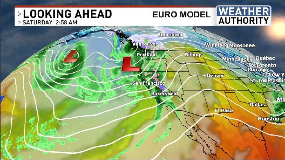
OUR NEXT STORM: MIDWEEK
Another “warm storm” is spinning some thousand miles south/southwest of Southern California currently. This system is pulling in quite a bit of subtropical moisture and plenty of lightning strikes have been occurring over the Pacific due to the rich water vapor and instability availability. This system is expected to lift northward bringing a renewed opportunity for widespread rains to California, this time from the south heading up to and through the New Year’s holiday. Again, snow levels are on the high side with this one, but water content will be on the high side as well – so flooding and landslides are certainly a possibility.
MORE ACTIVE WEATHER AFTER?
Comment with Bubbles
BE THE FIRST TO COMMENT
Following this upcoming storm system the jet stream could potentially buckle across the North Pacific, possibility bringing even more stormy conditions to California. Stay tuned!