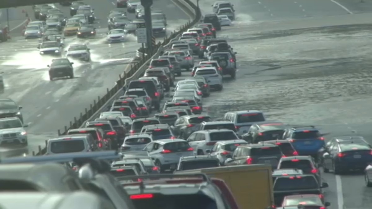
The high tide in San Francisco was 2.56 feet above normal, the fourth highest on record, Weather Service meteorologist Dylan Flynn said. It was affected by 1.28 feet of storm surge blown by the wind, he said.
High tide at 11:18 a.m. Sunday is expected to be up to 1.9 feet above normal, Flynn said. The time of high tide varies up to 90 minutes earlier or later along the Pacific Coast and through the San Francisco Bay, the weather service said.
The flood advisory was in effect for San Francisco Bay, San Pablo Bay, Monterey Bay and the Pacific Coast, according to the NWS.
Tides are the result of the sun and moon’s gravitational attraction. The most dramatic, known as king tides, reflected phenomena such as the moon being full and closest to the earth Saturday.
High tides will begin to grow less prominent as storm surge lessens and the moon becomes less aligned with the earth, Flynn said.
There were reports of shallow landslides in the North Bay due to saturated soils as rain showers continued Saturday, the Weather Service said.
There was a chance for heavy showers and thunderstorms particularly across the North Bay on Sunday.
In Marin County, residents were asked to move vehicles parked in areas known to flood due to high tide.
Rain will increase again for early Sunday with rain at times through the afternoon before we see showers decreasing for a brief time Sunday evening ahead of the next storm arriving on Monday. We’ll see a chance for thunderstorms again with possible marine weather warnings for severe weather at times before rain changes back to decreasing showers late day. More showers possible midweek due to storms passing by just to our north however the second half of the week is looking drier as high pressure builds back for next weekend.

