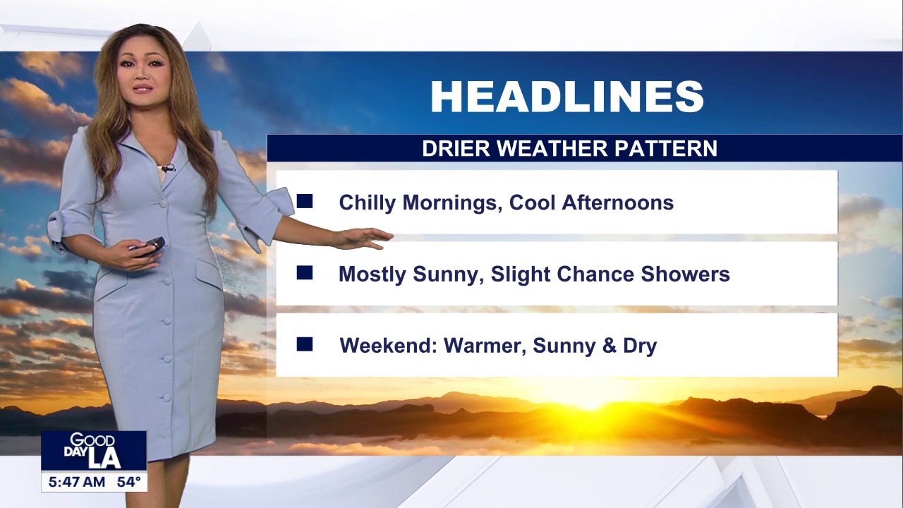
LOS ANGELES – Southern California is facing a final stretch of rainy weather through Monday, with the National Weather Service predicting a transition to dryer, sunnier conditions by mid-week.
While rainfall totals are expected to be light, officials have maintained evacuation warnings and road closures due to saturated ground and the ongoing risk of debris flows.
Cooler, drier week ahead
What we know:
Southern California’s stretch of rainy days is expected to continue Monday, but dry skies may return Tuesday with sunshine expected towards the end of the week.
SUGGESTED: More than a dozen cars damaged by pothole as city rushes to make repairs
But NWS forecasters are cautiously optimistic about rain moving out of the region, noting that Tuesday may be drier than originally indicated.
Additional rainfall amounts through Tuesday will generally be around 0.25 inches or less, though northwest San Luis Obispo County could see up to 1 inch, according to the latets forecast.
As the storm system moves into Baja Mexico on Wednesday, dry conditions will return and temperatures will rebound, though they will remain below normal with highs in the 60s and lows in the 40s and 50s, officials said.
Forecast models uncertain
What we don’t know:
While the immediate storm is exit-bound, meteorologists are still monitoring late-week developments.
There is currently a lack of consensus among major forecast models regarding a secondary low-pressure system.
It remains unclear if this will result in a significant drop in temperatures, a return of offshore winds, or a separate, lighter band of precipitation by Friday.
Rainfall totals
By the numbers:
Here are rainfall totals (in inches) across Southern California:
Los Angeles County (3-day) Agoura: 0.77Agoura Hills: 1.02Alhambra: 1.29Bel Air: 1.27Beverly Hills: 1.28Burbank: 1.13Calabasas: 0.99Canoga Park: 0.95Castaic: 1.01Chatsworth Reservoir: 1.04Claremont: 1.28Culver City: 0.82Del Valle: 1.15Downtown Los Angeles: 1.16East Pasadena: 1.25Eaton Dam: 1.39Hansen Dam: 1.21Hawthorne: 0.41Hollywood Reservoir: 1.31La Canada Flintridge: 2.01La Habra Heights: 0.59Lancaster: 0.38LAX: 0.58La Verne: 1.85Leo Carrillo: 0.84Long Beach: 0.59Mt. Baldy: 2.19Newhall: 1.46Northridge: 1.07Pacoima Dam: 2.01Palmdale: 0.30Porter Ranch: 1.78Santa Monica: 0.71Saugus: 1.42Sierra Madre: 1.28South Gate: 0.48Van Nuys: 0.73Warm Springs: 2.22Whittier: 1.53Whittier Hills: 1.12Woodland Hills: 1.33 Orange County (2-day) Anaheim Barber City: 0.70Anaheim Hills: 0.63Bell Canyon: 0.48Brea Olinda: 0.83Carbon Canyon Dam: 0.69Corona Del Mar: 0.63Costa Mesa: 0.42Fullerton Dam: 0.68Fullerton Airport: 0.31Garden Grove: 0.51Huntington Beach: 0.59Laguna Beach at Woodland: 0.63Laguna Niguel Park: 0.63Lower Oso Creek: 0.63Oceanview: 0.59Orange County Reservoir: 0.55Yorba Reservoir: 0.60 Riverside County (2-day) Allandale: 2.28Angeles Hill: 2.04Banning Bench: 10.02Beaumont: 0.79Cathedral City: 0.20Desert Hot Springs: 0.04French Valley Airport: 0.24Lake Matthews: 0.17Live Oak Canyon: 1.97Moreno Clark: 0.43Morongo Valley: 0.04Mt. San Jacinto: 0.08Murrieta CK at Tenaja: 0.44Norco: 0.31North Elsinore: 0.35Palm Springs Airport: 0.02Perris: 0.20Prado Dam: 0.31Potrero Canyon: 0.44Riverside Airport: 0.31San Jacinto North: 0.39Temecula: 0.90Vista Grande: 2.44 San Bernardino County (2-day) Adelanto: 0.04Apple Valley: 0.07Big Bear Lake: 0.50Cedar Glen: 2.32Crest Park: 3.23Cal State San Bernardino: 1.02Chino Hills: 0.39Cucamonga Canyon: 1.14Deer Creek: 1.65Elder Creek: 1.26Helendale: 0.02Hesperia: 0.11Larson Ranch: 1.66Lytle Creek: 1.95Oak Creek Canyon: 1.62Ontario: 0.59Oro Grande: 0.08Reche Canyon: 0.51Rialto: 0.91Running Springs: 1.56San Antonio Heights: 1.49Skyforest: 2.89Victorville Landfill: 0.05Wilson Creek: 0.66Wildwood Canyon: 0.98Wrightwood: 0.82 Santa Barbara County (3-day) Buellton: 2.50Cachuma Dam: 3.00Carpinteria: 1.08El Capitan Beach: 3.29Gaviota Coast: 5.04Hollister; 3.76Las Cruces: 4.08Lompoc: 2.47Los Alamos: 1.72Los Olivos: 2.87Los Prietos: 3.27Montecito Hills: 2.47Santa Barbara: 2.47Santa Maria: 1.18Solvang: 2.84Vandenberg: 1.81 San Diego County (2-day) Carlsbad: 1.49Chula Vista: 0.46El Camino Del Norte: 0.57Encinitas: 0.33Escondido: 0.53Fallbrook: 1.12Fashion Valley: 0.77Kearny Mesa: 0.54La mesa: 0.70Miramar Lake: 0.77National City: 0.83Oceanside: 0.94Point Loma: 0.83Poway: 0.87Ramona: 0.79Rancho Bernardo: 0.50Rincon Springs: 0.88San Diego International Airport: 0.89San Onofre: 0.75Santee: 0.79Skyline Ranch: 1.08Valley Center: 0.89 San Luis Obispo County (3-day) Arroyo Grande: 0.06Atascadero: 2.05Cambria: 1.60Davis Peak: 2.48Lake Lopez: 1.90Los Osos: 1.61Morro Bay: 0.29Nipomo: 1.48Oceano: 1.71Paso Robles: 0.67Rocky Butte: 4.39Salinas Dam:Santa Margarita: 3.49San Luis Obispo: 1.60SLO Cal Poly: 2.57Templeton: 0.68 Ventura County (3-day) Camarillo: 0.80CSU Channel Islands: 1.46Fillmore: 1.63Lake Casitas: 2.82Lake Piru: 1.54Matilija Canyon: 3.39Moorpark: 0.88Newbury Park: 0.88Ojai: 2.13Oxnard: 1.12Santa Paula: 1.37Saticoy: 1.72Silverstrand Beach: 1.14Simi Valley: 0.52Thousand Oaks: 1.10Ventura: 1.36
What they’re saying:
“For Monday through Tuesday, there will be a continued threat of showers across the area as moisture rotates around the upper low offshore,” said the NWS. “At this time, additional rainfall amounts Monday through Tuesday will generally be around 0.25 inches or less (although northwest San Luis Obispo County could receive up to 1.00 inch). For Wednesday, as the upper low moves into Baja Mexico, it should be dry across the area. With the dry conditions and more sunshine, temperatures will rebound, but still remain below normal.”
Regarding road safety, Caltrans noted that the reopening of Topanga Canyon Boulevard was “dependent on improved weather and road conditions.” Additionally, the Palisades Fire recovery work zone remains open, “with crews on standby to respond to any storm impacts,” according to the agency.
Evacuation warnings in effect
Why you should care:
Safety remains a primary concern as the ground is heavily saturated from previous storms.
Evacuation warnings remain in place for neighborhoods near recent burn scars due to the danger of mud and debris flows.
A public health advisory is also in effect, warning beach users “to avoid all water contact, especially near discharging storm drains, creeks, and rivers due to potentially higher bacteria levels in these areas,” until at least 4 p.m. Monday.
Inner Cabrillo Beach in San Pedro remains closed following a Christmas Day sewage flow.
Stay informed
What you can do:
Sign up for weather alerts directly for your area by tapping or clicking your county below:
To monitor evacuation statuses, the public can download the Genasys Alert app or visit genasys.com.
Motorists are advised to stay off the roads if possible and to exercise extreme caution if they must drive.
As the region transitions from heavy rain to an unsettled week, the ground remains saturated, which increases the risk of property damage even after the clouds begin to break.
The public is advised to do the following:
Inspect Drainage Paths: Ensure that gutters, downspouts, and area drains are clear of debris. Saturated soil can lead to localized flooding if runoff has nowhere to go.Monitor Hillsides: If you live near a burn scar or steep slope, watch for signs of movement, such as new cracks in the soil or leaning fences. Saturated hillsides can shift even after the rain stops.Check Vehicle Safety: Inspect your tires and windshield wipers. “Post-rain” roads are often covered in oils and fine silt that can make surfaces unexpectedly slick during light, misty conditions expected later in the week.Delay Heavy Landscaping: Avoid digging or heavy yard work for at least 48 to 72 hours. Working on waterlogged soil can lead to compaction and root damage for your plants.
The Source: This report is based on the latest modeling from the National Weather Service (NWS) Los Angeles/Oxnard office and real-time Doppler radar data. We cross-referenced these atmospheric projections with historical seasonal patterns for Southern California to provide a baseline for late-week expectations.
WeatherLos Angeles CountyRiverside CountyOrange CountySan Bernardino CountyVentura CountyInland EmpireInstastories

