
A 4.9 magnitude earthquake struck Southern California on Monday, centered about 12 miles north-northeast of Indio, according to the U.S. Geological Survey (USGS).
The quake occurred just before 6 p.m. local time and was felt across parts of the Coachella Valley and surrounding areas.
There were no immediate reports of serious damage or injuries.
The Context
More than 70 percent of Californians live within 30 miles of a major fault, according to the California Department of Conservation, increasing the risk that even moderate seismic activity could impact a large number of residents.
Earthquakes also highlight the importance of emergency preparedness, especially as experts continue to warn that the Golden State is overdue for a significant seismic event.
What To Know
The 4.9 magnitude earthquake struck at 5:56 p.m. Monday, centered approximately 12 miles northeast of Indio in Southern California’s desert region, according to the USGS. The temblor was felt widely across Southern California, prompting concern among millions of residents.
As of 7 p.m. local time, four aftershocks measuring magnitude 3.0 or higher had been recorded in the Indio area, with the largest reaching a 3.5 magnitude, USGS data shows.
The USGS initially reported the earthquake as 5.1 magnitude, then revised it down to 4.6 before settling on the final measurement of 4.9. This adjustment highlights the complexity of real-time seismic data analysis during active earthquake events.
Millions across the region received emergency alerts on their phones seconds before the earthquake struck, according to Patch. The alerts, part of California’s early warning system, showed that the quake was 5.1 magnitude the originally assessed 5.1 the quake measured magnitude 5.1, based on the USGS’s preliminary assessment.
According to the Southern California Seismic Network, additional aftershocks are expected in the coming days, with the largest anticipated to be approximately one magnitude unit smaller than the mainshock. However, seismologists noted a small chance—approximately 5 percent—that a larger earthquake could occur, though this likelihood decreases with time.
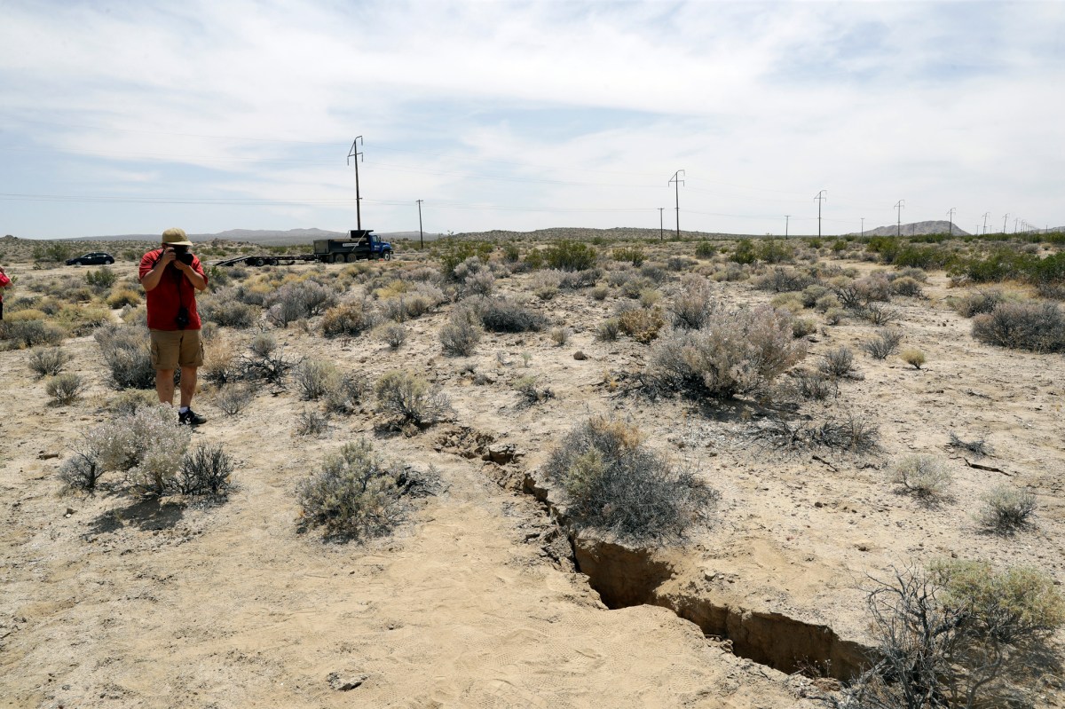
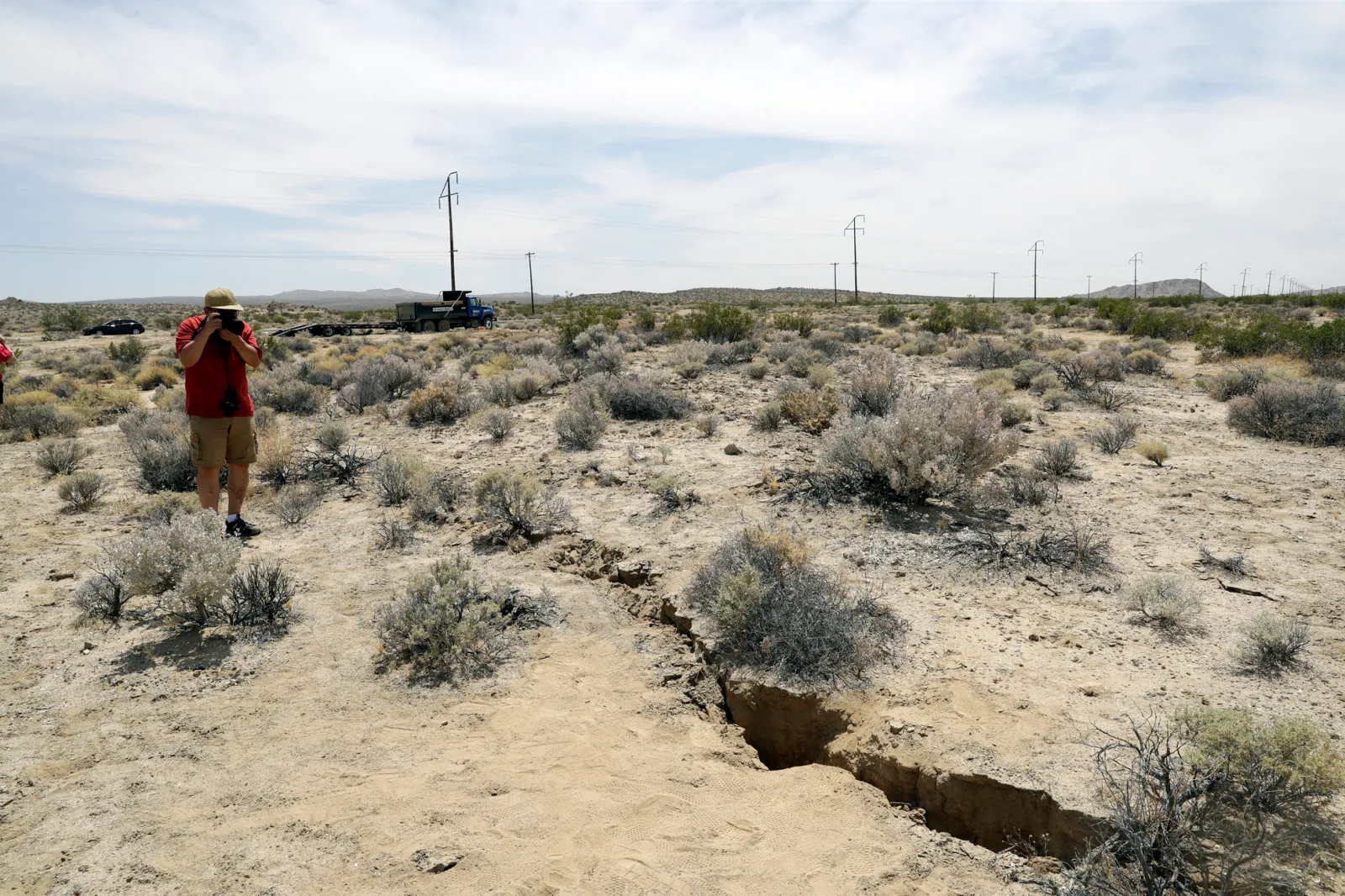
The earthquake’s epicenter near Indio places it in a seismically active region of Southern California where multiple fault lines intersect. The area has experienced similar seismic activity in the past, though earthquakes of this magnitude remain relatively uncommon and noteworthy events for local communities.
Why Does California Have Earthquakes?
California’s seismic activity is primarily driven by its position atop several major fault systems, most notably the San Andreas Fault, which extends roughly 750 miles through the state.
Other critical faults include Rodgers Creek, Calaveras, and Hayward. The movement of tectonic plates along these faults causes most of California’s quakes.
The density of fault lines coupled with the size of the population means that seismic hazards can have serious implications for millions of residents.
 What Causes An Earthquake?
Earthquakes occur when energy stored in the Earth’s crust is suddenly released, usually due to the shifting of tectonic plates along a fault line. This release causes seismic waves, which result in the shaking felt on the surface.
California’s faults are primarily “strike-slip,” meaning the plates move horizontally past each other. In certain regions, man-made activity—such as geothermal operations—can also trigger minor quakes, but the most significant risks remain tied to natural fault movements.
What People Are Saying
Sarah Minson, research geophysicist with USGS, told SFGate last month: “We think that this place [San Ramon] keeps having earthquake swarms due to a lot of fluid-filled cracks, thanks to very complex fault geometry—unlike, say, the San Andreas Fault, which is this nice clean edge.”
What Happens Next
Seismic activity will continue to be closely monitored by the USGS and California Institute of Technology.
Update 1/19/26, 11:31 p.m. ET: This article has been updated with additional information.