
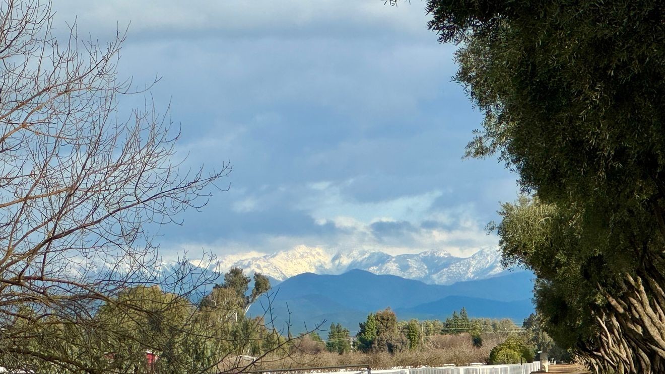
The sunshine we enjoyed on Saturday continued through Sunday, and Valley highs warmed to near 70 degrees Sunday afternoon. That pure sunshine may not last, but the mild temperatures will. We’ve got a mild, somewhat cloudy and humid week ahead for us, with perhaps a little rain coming our way Tuesday night.
A juicy Atmospheric River is heading towards California this week, but it won’t drop as much rain here as it could. Thin high clouds will arrive Monday, and thicker clouds move in on Tuesday. Rain will spill into northern California Monday & Tuesday, and make it to central California by Tuesday afternoon & night. We can expect a few light showers on Tuesday, with slightly stronger showers arriving Tuesday night… but that’s about it from this very moist storm. It definitely has the moisture needed to soak us, but not much in the way of energy to squeeze that moisture from the clouds. So, Fresno will be lucky to see 1/10″ of rain from this storm, while Tulare and Visalia may not see anything at all.
But again, it’s definitely got the moisture, and you’ll probably notice a little extra humidity in the air both Wednesday and Thursday. Since Valley highs will be mild (near 70) and not blazing hot this week, this humidity won’t be oppressive at all. But you might actually break a sweat this week because of the humidity, whereas on a typical late Winter 70 degree day, you wouldn’t.
It’s probably for the best we don’t get soaked this week, because after last week’s BIG time snow in the Sierra Nevada, warm rain falling on that now decent snowpack might create flooding problems. Snow totals from last week’s storm were commonly 90″+ around Lake Tahoe, with both Sugar Bowl ski resort and the Central Sierra Snow Lab (both at Donner Summit near Lake Tahoe) reporting over 100″! That followed about 6 weeks of absolutely NOTHING. We had a nice snowpack developing by early January, but then the jet stream shifted north, and everything changed. The Valley was socked in with THICK fog, but in the mountains… it was nice. Very nice. And warm. So that snow settled, compacted, maybe melted a little then re-froze at night, over and over again for 6 weeks.
So, when all of this light, fresh snow fell this week on top of that old, compact, slippery, and just cranky snow, they didn’t mix very well at all. Instead, they formed 2 different layers. That old, hard snow can act almost like ballbearings to the snow on top of it, helping it slide right off with some ease. And, since there was a LOT of new snow on top, it had some weight, and was just ready to slide off of steep mountainsides. Which it has been doing recently… there have been numerous avalanches in the Sierra, most in remote areas. That’s the reason that Yosemite was closed for a few days last week… to let the snow settle. The middle and upper parts of Sequoia and Kings Canyon National Parks were also closed, to let this new snow settle up there as well.
But it’s back to warmer weather for us this week. Somewhat cloudy and humid at times, but much warmer than last week.