
I’ve dedicated the better half of the column this month to the hiking in Anza-Borrego Desert State Park, stemming from a camping trip I took over the first weekend in February.
Late winter is the best time to camp in the desert, in my humble opinion. Daytime temperatures are more mild and the evenings are brisk. If you’re lucky — like I was — you get the chance to see wildflower blooms carpeting sections of the mountainsides and valleys.
I also purposefully did three hikes that each offered something different. The strenuous hike to Whale Peak was a rugged ascent that featured about 2,600 feet of elevation gain. The adventure through Rainbow Canyon was a more moderate hike, with a handful of technical scrambles up dry waterfalls.
This week, I’m slowing it down with a short and sweet 1.5-mile loop near Vallecito County Park. It isn’t a well-known hike in the desert, but it’s an option for visitors who don’t have a lot of time but still want to admire the breathtaking scenery. The hike took me about 40 minutes to complete, so you can fit it into a day with other hiking, or on your way to the Agua Caliente County Park’s hot springs (which I highly recommend).
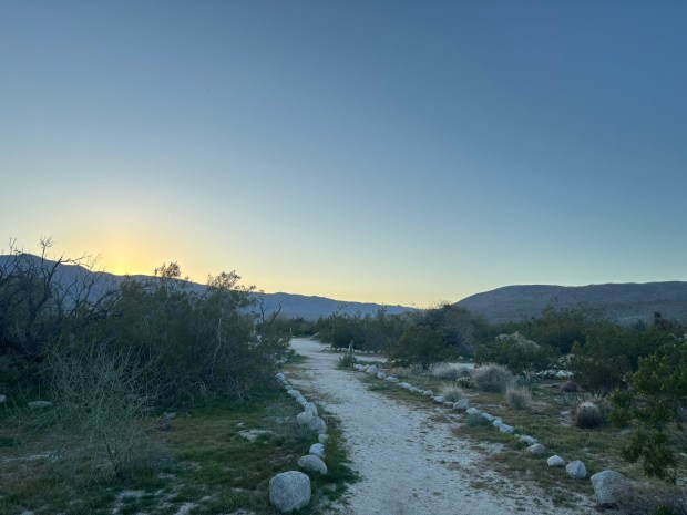 The trail heading east from Vallecito County Park. (Maura Fox / The San Diego Union-Tribune)
The campground, which was converted from a station on the Butterfield Overland Mail Route, is also home to a cemetery with three burials. It’s a little spooky, especially since one of the graves is believed to be for a woman who died in the 19th century while on her way to meet her betrothed — and who is said to haunt the area.
But aside from that, this really is a peaceful pocket of the desert. The county park is open through the last week in May and is closed for the summer months until Labor Day weekend, so visit while the weather is still bearable. Day use parking is $5.
The proper hiking trail begins on the eastern side of the park, past the RV and equestrian campsites, though I started my mileage near the camp hosts’ site near the center of the park. Walk east through the campground and you will see a wide path that continues east.
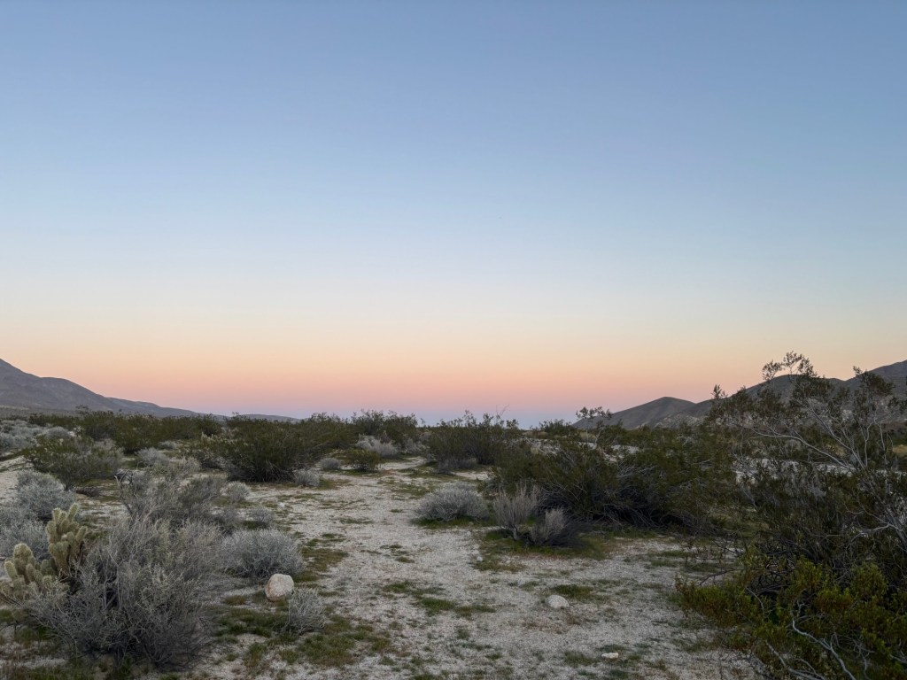
Despite being so close to the campground and California Route S2, hikers will quickly feel as if they are off-grid. This is a benefit of desert hiking: you don’t have to venture too far to get some space.
The trail continues east for about half a mile, surrounded by cholla and desert shrubs, before turning north. It’s neat to see the Laguna Mountains to the southwest and point out the peaks I’ve stood on way up above the desert.
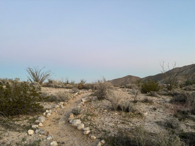 Near the end of the loop, hikers can take a quick detour on a short path, just north of the main trail. (Maura Fox / The San Diego Union-Tribune)
There are a few signs guiding hikers along the trail. Note that you will need to cross S2 to reach the other half of the loop, so use caution when crossing the road.
Once on the other side, hikers will head west, back toward the campground. The trail is less clearly marked on the second half. Watch for rock cairns and the boot prints from other hikers, and if you feel yourself veering too far from the highway, you should find your way back.
At 1.3-miles, hikers have the option to head directly back to the campground, or explore a short additional loop just north of the main trail, where a more narrow path is lined with stones. When you’re ready, cross the highway again to return to the campground.