
A nor’easter that’s bearing down on the New York City area is expected to have lingering impacts through Monday night.
New York City, Long Island and Westchester County are under a state of emergency, along with the entire state of New Jersey.
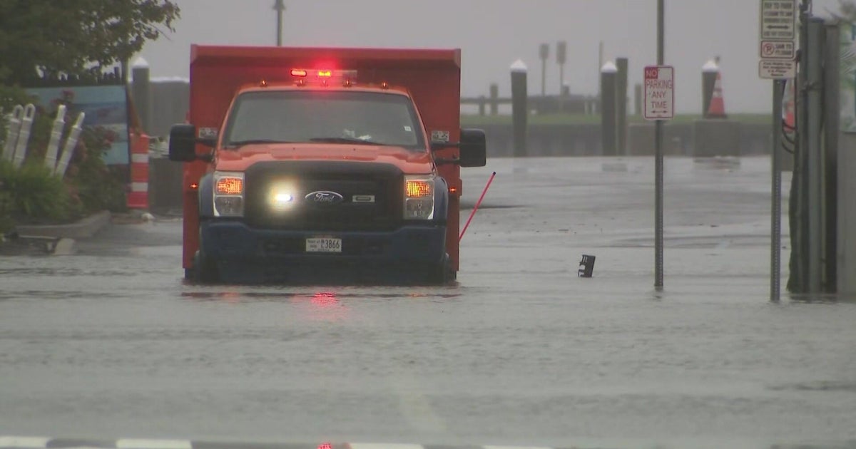
The powerful storm blew in from east to west Sunday, packing wind gusts of nearly 60 mph and soaking rains. The storm is also causing some coastal flooding, particularly at high tide, in low lying places on Long Island and down the Jersey Shore.
The next high tide cycle is coming up early Monday afternoon, starting around 1 p.m. at Long Island’s south shore beaches. Vulnerable arears near the water could see up to 3 feet of inundation.
All eyes on high tide Monday afternoon
Nassau County Executive Bruce Blakeman shared an update on the county’s storm response Monday, reminding residents that it isn’t over yet. He said crews are keeping a eye on south shore communities, particularly in Freeport, Long Beach and Merrick.
“On the South Shore, the high tide will be between 1 p.m. and 2 p.m. On the North Shore, between 4 p.m. and 5 p.m. That means that there will be flooding on both the North Shore and the South Shore — light to moderate on the North Shore, it could be major in some vulnerable areas. On the South Shore, it will be moderate to heavy, and that flooding could be as high as 2 to 3 feet,” Blakeman said.

CBS News New York
CBS News New York also spoke with Suffolk County Executive Ed Romaine for an update on conditions there Monday. He said coastal flooding remains a concern at high tide, as well as winds up to 60 mph out in Montauk.
“We know that the rain is going to continue. We know that the surf has been very hard and pounding away, which means erosion for us and beach loss,” Romaine said.
On Sunday, Romaine said the biggest concern was Fire Island, along with other low-lying areas in Mastic Beach, East Patchogue and Lindenhurst.
When high tide hit overnight in Bay Shore, the flood waters inundated streets, forcing cars to turn around and jeopardizing local businesses. Six hours later, it’s windy and raw, with off and on rain, and the water is nearly overflowing its banks.
Ferry service to Fire Island remains closed, and the Fire Island Water Taxi is suspended through Monday as stormy gale conditions persist.
Meanwhile in New Jersey, officials warn the Shore could see moderate to major coastal flooding around high tide, and the rough surf may lead to significant beach erosion.
Water filled the beach almost all the way up to the boardwalk overnight at North Wildwood, and poured into the streets in Avalon. Many neighborhoods near the back bay remained flooded early Monday.
Gusty winds blamed for at least 1 death in NYC
The winds are settling down, but thousands of customers remain without power and hundreds of trees are down across the region.
The National Weather Service canceled its High Wind Warnings and Wind Advisories for Monday afternoon, with 25-45 mph gusts expected for the rest of the day.

CBS News New York
As of 10 a.m., PSEG Long Island reported 3,384 customers without power, and Orange & Rockland County reported 4,201 customers out. Jersey Central Power & Light had 4,037 customers out, and PSE&G New Jersey had 2,365 out.
New York City’s Office of Emergency Management said more than 100 trees have fallen citywide, and the Department of Buildings said a woman in Brooklyn was killed when the wind ripped a solar panel off the roof of a carport.
The storm also forced the cancellation of the city’s annual Columbus Day Parade in Manhattan, a more than 80-year-old tradition.
As for mass transit, subways have not been impacted, but the Long Island Rail Road and Metro-North experienced some disruptions early Monday, and NJ Transit suspended its North Jersey Coast and Atlantic City lines. Tri-State Area airports are also reporting hundreds of delays.