
This week’s hike took me to Rancho La Costa Preserve, a 1,600-acre natural haven situated between Carlsbad, San Marcos and Escondido.
I bet this preserve is lovely year-round, but it was exceptionally beautiful in mid-March. The hillsides were covered in green grasses and a range of orange, white and purple wildflowers. The 3.5-mile loop included a variety of scenery and trail types, with switchbacks, creek crossings and more challenging uphill climbs. Plus, hikers can see the remnants of an old Encinitas Mining District copper mine.
I only passed one other hiker on the trail, which added to the serenity of the hike. It was all peaceful, in fact, except for one moment when I saw a rattlesnake on the trail near the copper mine site — that gave me a scare.
The preserve is located in a pocket of San Diego County with great hiking options. Just to the west, you’ll find an easy hike at the Batiquitos Lagoon, and to the east there’s the Elfin Forest and Felicita County Park. And those are just the places I’ve hiked so far; there are even more spots to explore in this section of North County.
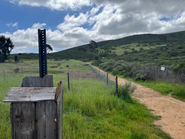 Denning Road heads south, and it’s a moderately challenging uphill climb. (Maura Fox / The San Diego Union-Tribune)
To begin this hike, park at the trailhead located off San Elijo Road, about 0.3 miles southeast of Fallsview Road. There’s only street parking, and you won’t find signage marking the trail, but the trailhead is easy to find. Searching for Copper Trail in Google Maps will take you to the right place.
Start hiking southwest along the grass-lined trail, making your way into the preserve. You’ll come upon an open area with a few intersecting trails; stay on the trail that skirts the northern side of this area, heading west.
At 0.2 miles, I turned left — or south — on Denning Road. The wide dirt path gradually climbs for the next 0.8 miles. It is moderately challenging, especially since the trail is exposed to the sun. Along this trail, I did see some poison oak, so be cautious of your surroundings.
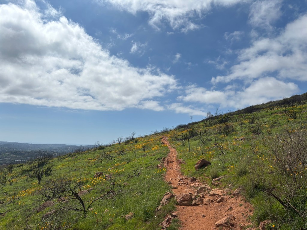
After hiking for a mile, the trail reaches a view point where a few trails intersect. Hikers should take the Whiptail Loop Trail, which starts next to an informational sign about the preserve and switchbacks down the mountain’s southern side.
Here is where the hike truly shines, with California poppies and other wildflowers covering the hillside. I was happy to see this growth, since the area had recently burned in a fire. At certain points, you can see views of the ocean, but I was more taken with my immediate surroundings. Note that the trail is slightly rocky and slippery.
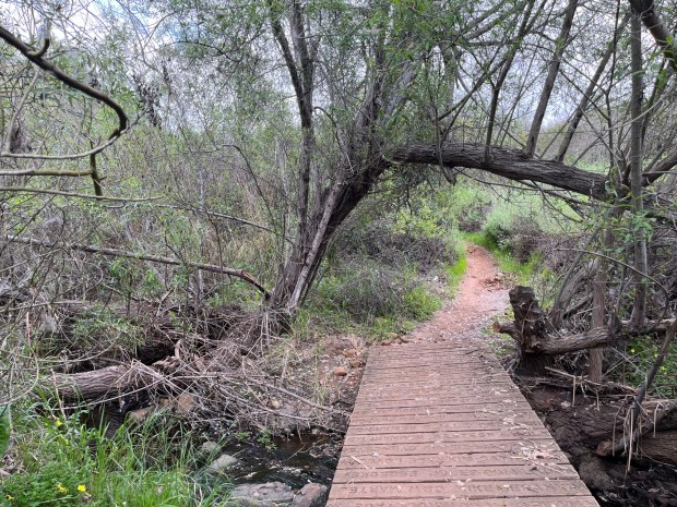 A wooden bridge crosses over the water on the Copper Creek Trail. (Maura Fox / The San Diego Union-Tribune)
The Whiptail Loop Trail continue south for a mile. Then hikers will start heading east on the Copper Creek Trail, which they will stay on for the rest of the hike.
Just before the 3-mile mark, you’ll come across what remains of a old copper mine used in the 19th century. This section of the trail is also where the rushing creek comes into view, making it a nice place to stop and listen to the flowing water.
Continue on the trail as it travels north, passing under shady trees and over a few wooden bridges that cross above the creek. The very end of the hike — just past the 3-mile mark — is on a wide gravel road and takes you back to where you started.