
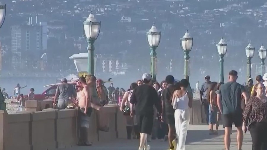
SAN DIEGO (FOX 5/KUSI) — It has been a beautiful, hot August winter day in the Middle of March, and the ocean water is playing right along.
“Weather is always pretty variable, and as far back as we have records, there have been unusually hot days and unusually cold days, but we are noticing more of these extremes more frequently,” said Dr. Tom Corringham, an economic climate scientist from Scripps Institution of Oceanography.
Dr. Tom Corringham says this week will pass, things will cool down, but the signs of real change are hard to ignore.
“Long-term, we are going to have to adapt to the changing to the rising temperatures. There is some talk of our Mediterranean climate changing into more of a subtropical influence,” said Dr. Corringham.
“I think the 20th-century world we are familiar with is not a very good model for the 21st century,” said Professor Pat Abbott from SDSU.
Abbot says these once warm water aberrations are creating a new runway for more intense storms, and we don’t have to look to the future to guess what’s coming…
“Historically, we are protected from tropical storms and hurricanes from coming here, but in the last few years, 3 out of the last 4 years in a row, we have basically had tropical storms come up here,” said Professor Abbott.
Both Dr. Corringham and Professor Abbot say it’s simple to see that with more heat in the water, more moisture will be headed our way in the form of tropical storms and even hurricanes are not out of the picture…
“All the storm systems we have here are expected to intensify as we get to higher temperatures and as a result, more moisture in the atmosphere,” said Dr. Corringham.
Copyright 2026 Nexstar Media, Inc. All rights reserved. This material may not be published, broadcast, rewritten, or redistributed.
For the latest news, weather, sports, and streaming video, head to FOX 5 San Diego & KUSI News.