
The Bay Area is on track for what could be its driest March in over a century, which could lead to drought this Spring, officials said.
“Based on low snowpack this past winter, a lack of adequate precipitation since mid-November, and warmer-than-normal temperatures during March, drought development with declining soil moisture is forecast across northern California this spring,” Brad Pugh, a National Oceanic and Atmospheric Administration meteorologist, told Patch.
The downtown San Francisco station recorded only 0.06 inches of rain as of Wednesday — just shy of the 1923 record of 0.03 inches. Rainfall across the region has been more than 2 inches below average this month, according to the National Oceanic and Atmospheric Administration.
This alarming dry spell mirrors conditions in 1972, a year that also followed a multi-year La Niña and featured a negative phase of the Pacific Decadal Oscillation (PDO), a pattern historically linked to Western U.S. drought, according to the National Weather Service. In 1972, the dry pattern continued through June, with downtown San Francisco recording a mere 1.07 inches of rain from April through June, well below the 2.5 inches typically expected, the NOAA reported.
Related articles:
Historical data from the 10 driest Marches offers mixed signals. Half saw below-normal precipitation continue through June, while the other half rebounded, often due to wet Aprils, according to the National Oceanic and Atmospheric Administration.
Pugh told Patch that the dry pattern is forecast to end briefly early next week as a low pressure system and enhanced onshore flow affect the West Coast.
“For northern California, the April-May-June outlook leans toward below-normal precipitation and also an increased chance of above-normal temperatures for this three-month time period,” Pugh said.
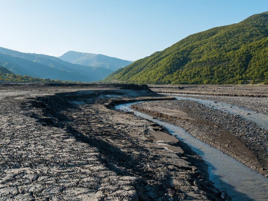
Unique factors in 2026 could influence the coming months. Ocean temperatures are unusually warm, and the Sierra snowpack is at historically low levels. The warm ocean water could perpetuate the dry conditions by affecting the jet stream, and the lack of snowpack will intensify soil moisture deficits, potentially worsening summer heat waves, the National Weather Service warned.
Low soil moisture favors above-normal temperatures heading into the summer. However, the timing and magnitude of any summer heat waves would be predictable at the shorter time scales such as a couple of weeks. Drying vegetation could lead to an increased wildfire risk later in the summer, Pugh told Patch.