
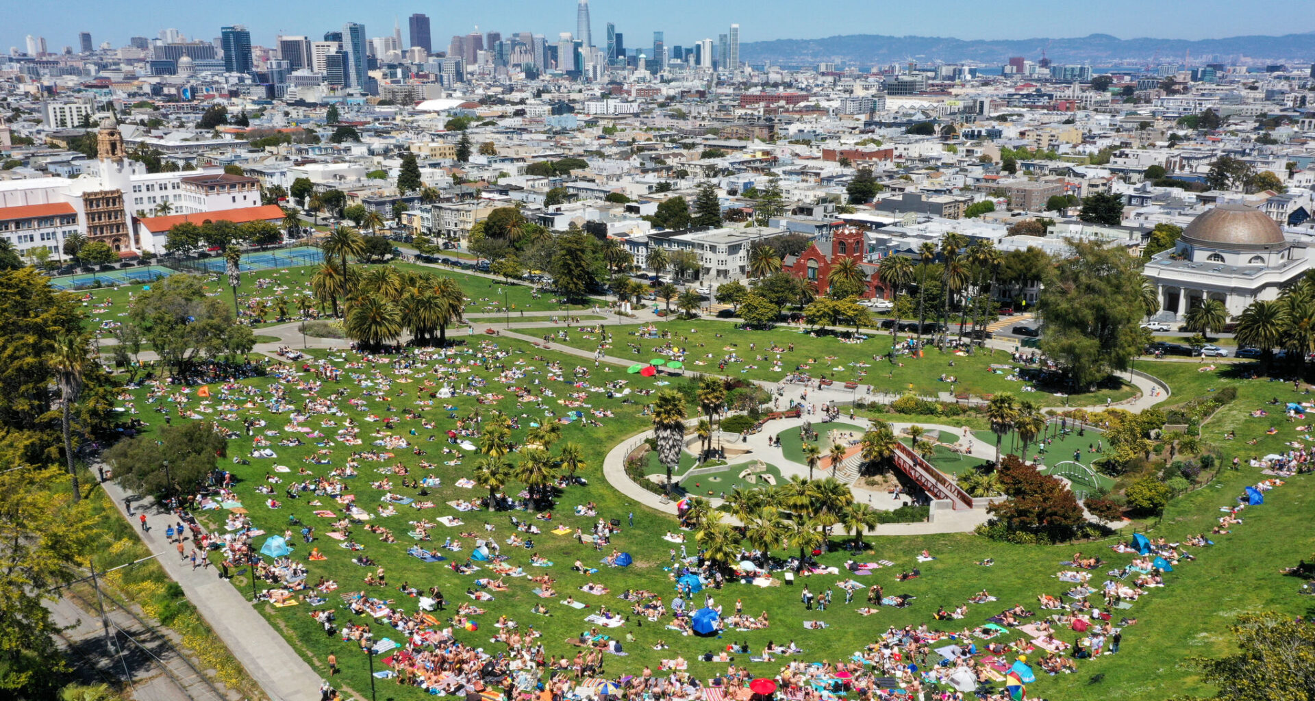
FILE – An aerial view of Dolores Park as San Franciscans enjoy warm weather on May 13, 2023.
Anadolu/Anadolu Agency via Getty Images
A heat dome that’s been hovering over the Bay Area for nearly a month, leading to the hottest March ever recorded at the National Weather Service’s 150-year-old climate site in downtown San Francisco, is finally about to break as chances of rain enter the forecast.
A trough of low pressure coming from the Eastern Pacific near Washington is expected to contribute to a gradual cool down early this week as temperatures drop several degrees between Sunday and Monday, Dylan Flynn, a meteorologist for the National Weather Service’s Bay Area office, told SFGATE. Temperatures will return to the seasonal average as a cold front moving through the region between Tuesday afternoon and Tuesday evening will produce roughly a tenth of an inch of rainfall. Coastal mountains in the North Bay may see up to a quarter of an inch, and the East Bay may only see just a trace, or a couple hundredths of an inch.
Article continues below this ad
“We’re expecting things to be a little drier inland, and a little wetter on the coast,” Flynn said.
The rain is expected to hit the South Bay first before making its way north, contributing to light, steady rain on Tuesday and more off-and-on showers on Wednesday, which may lead to brief but heavy downpours. It’s considered mostly beneficial, with no risk of flooding or other impacts, though Flynn cautioned that because the Bay Area hasn’t seen any rain in more than 30 days, oil may accumulate on the asphalt. “Roads might be more slick than you’d think,” he said.
The respite will be brief as another ridge of high pressure builds on Friday, sending temperatures soaring back into the mid-to-upper 70s over the weekend. But Flynn said the rain is a welcome departure from the record-breaking heat that’s leaving meteorologists concerned over the upcoming fire weather season.
Make SFGATE a preferred source so your search results prioritize writing by actual people, not AI.
Add Preferred Source
Even more record highs were broken over the weekend. On Saturday, San Rafael hit 85 degrees, surpassing its previous record high of 81 degrees set in 2018, and Redwood City reached 84 degrees, breaking a matching record high of 81 degrees also set in 2018.
Article continues below this ad
Other records broken or tied on Friday are as follows:
— Livermore: 82 degrees, tying a previous record high set in 1969
— Oakland: 83 degrees, breaking a previous record high of 79 degrees set in 1986
— Redwood City: 85 degrees, breaking a previous record high of 83 degrees set in 1969
— Salinas: 83 degrees, breaking a previous record high of 80 degrees set in 1952 and 1969
— San Francisco International Airport: 80 degrees, breaking a previous record high of 77 degrees set in 1986 and 2021
— San Rafael: 84 degrees, breaking a previous record high of 82 degrees set in 1951 and 1969
“We’ve definitely had some spikes in this month of record temperatures,” Flynn said, noting temperatures have remained well above the seasonal average all month, reaching the warmest March on record at the weather service’s downtown San Francisco climate site. “In terms of average temperature, we’re kind of destroying the previous March record.”
Not only will this month go down in history as the warmest on record, but it’s also lining up to be the second driest, with only a couple of days of drizzle amounting to about six hundredths of an inch of rainfall.
Article continues below this ad
“That’s unusual,” Flynn said. “March is kind of a transition month as we move out of the peak wet season, so this has been out of the ordinary.”
A heat wave of this nature may not be so worrying in the short term as meteorologists look at impacts such as widespread heat-related illnesses. But, Flynn said, if they were to see the same anomaly in August, “it would be a huge problem” as far as fire weather is concerned.
“Some of our algorithms we use to track fuel dryness are shattering records for this time of year,” he said. “The dead fuel moisture, the smallest material to burn, is at levels we’d expect to see in July. They will improve a bit, but to see them so high so early is concerning.”
Article continues below this ad
Flynn said grasses that would typically remain green are already starting to turn brown a month ahead of normal. Though there is little threat for wildfires in the short term, meteorologists are closely monitoring the drying trend and how it will progress throughout the year.
For the time being, “any rain we get is crucial, given how remarkably warm and dry it’s been in March,” Flynn said.