
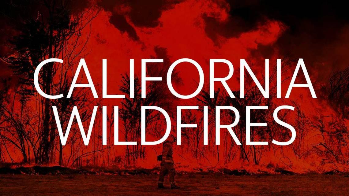

Updates on California wildfires.
The creation of this content included the use of AI based on templates created, reviewed and edited by journalists in the newsroom. Read more on our AI policy here.
Updated: 1:04 p.m. April 2
First discovered: 2 hours ago, 10:10 a.m. April 2
Initial location: Highway 33, North of West Palmer Ave., Coalinga, Fresno County, Calif.
Fire unit: Cal Fire Fresno-Kings Unit
Fire type: Wildfire
Fire name: Well Fire
Well Fire initially started today at 10:10 a.m. on Highway 33, North of West Palmer Ave., Coalinga in Fresno County, California.
It has burned 150 acres after being active for two hours. A crew of 23 firefighters has been working on site, however, by Thursday afternoon, the blaze remains uncontained and continues to spread. The cause is, however, still being investigated.
Five engines, one water tender and one dozer are working to control the fire. According to Cal Fire, “Numerous firefighting air tankers from throughout the State are flying fire suppression missions as conditions allow.”
Fire containment
Containment is part of a larger plan for managing a wildfire. It is normally expressed as a percentage and it refers to how much of the fire perimeter has been surrounded/enclosed by a control line that firefighters create. The containment percentage indicates a certain level of control, but it doesn’t always correlate to safety level. Also, it’s important to note that containment doesn’t mean a fire is out.
How is containment measured?
The incident’s central command constantly receives progress reports from firefighters on the ground. As the fireline is constructed, inspected or reinforced, mappers record those details to adjust the containment percentage. The percentage tells the public how much of the fire perimeter is believed to not go beyond the control lines.
Source: Cal Fire
United Robots Sacramento
This story was originally published April 2, 2026 at 10:58 AM.