
Waymo and Waze are testing a program that provides real-time pothole data, which could help Sacramento officials improve street maintenance and safety.
SACRAMENTO, Calif. — Waymo and Waze have launched a pilot program to give cities real-time data on potholes, helping officials improve road maintenance and safety for drivers, cyclists, and pedestrians.
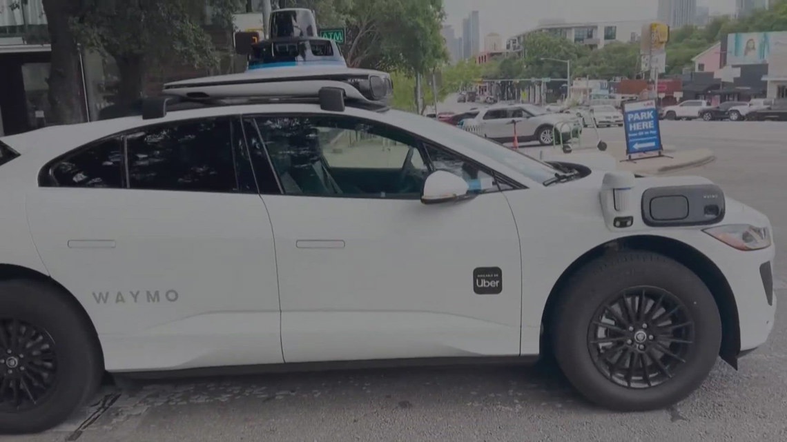
The program uses Waymo’s perception and physical feedback systems to detect potholes in the areas where its vehicles operate.
This data is shared with the city and state Departments of Transportation via the free Waze for Cities platform, along with user-reported pothole information.
Waze users can also see potholes on their route and verify Waymo-identified potholes, improving data accuracy and alerting drivers to hazards.
“Waymo is already making roads safer where we operate,” said Arielle Fleisher, Policy Development and Research Manager at Waymo. “We want to build on the safety benefits of our service by partnering with organizations and city officials to help improve the infrastructure we all depend on.”
The pilot is running in five metro areas: the San Francisco Bay Area, Los Angeles, Phoenix, Austin, and Atlanta, where Waymo has identified roughly 500 potholes.
Sacramento is expected to join the program over time alongside Waymo’s ride-hailing service. Sacramento County maintains more than 5,200 lane miles of paved roads, and the program could help expedite repairs and keep streets safer.
Many cities currently rely on 311 reports from residents and manual inspections to identify potholes, which can leave gaps in understanding road conditions and make it harder to allocate maintenance resources equitably.
Officials say this pilot supplements existing methods, giving city leaders a clearer view of surface street and highway conditions.
ABC10: Watch, Download, Read












1
/
12