
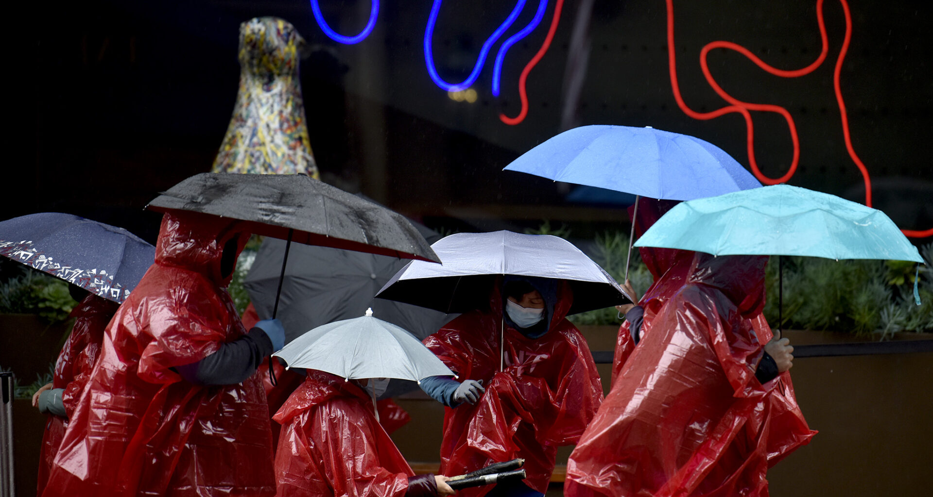
FILE: Workers maintain their picket lines in San Francisco despite rain showers on Nov. 11, 2024.
Charles Russo/SFGATE
As signs of El Niño brew in the Pacific Ocean, forecasters are closely tracking not only when the seasonal climate pattern could officially emerge but also just how strong it could become.
There is a 61% chance that El Niño conditions will begin between May and July and last at least through the end of the year, the National Weather Service’s Climate Prediction Center said on Thursday. La Niña, which began last fall and reigned over the recent winter, just ended.
Article continues below this ad
The new outlook also found a 25% chance of a “very strong” El Niño developing.
“The forecast has been homing in on what looks like a good-sized El Niño event,” Alexander Gershunov, a research meteorologist at Scripps Institution of Oceanography at UC San Diego, told SFGATE. “But of course, there’s a big spread in model predictions, so it could still be anything from neutral conditions to a very strong El Niño.”
El Niño is the warm phase of a pattern that develops in the tropical Pacific Ocean, called the El Niño-Southern Oscillation, or ENSO. During El Niño events, weak trade winds are associated with above-average surface temperatures in those waters. The other phase, La Niña, brings stronger winds that promote cooler ocean conditions. The pattern alternates irregularly, with neutral phases in between.
Make SFGATE a preferred source so your search results prioritize writing by actual people, not AI.
Add Preferred Source
El Niño and La Niña bring a cascade of global weather impacts. In California, people often assume that El Niño brings a wet winter and La Niña, a dry one. Not only does the El Niño pattern tip the odds in favor of a wetter season, especially in Southern California, but endless rain from the El Niño winters such as 1997-98 loom large in collective memory.
Article continues below this ad
Yet scientists have to come to appreciate that El Niño years can lead to a variety of outcomes locally. In the winter of 2015-2016, for example, the infamous “Godzilla” El Niño — one of the strongest ever recorded — did not deliver the expected precipitation in Southern California.
Michelle L’Heureux, who leads the ENSO team at the Climate Prediction Center, explained the potential significance of a stronger El Niño.
“The advantage of seeing stronger El Niños (vs. weaker events) is that we generally see a pattern of weather and climate impacts over the globe that looks more like what is expected during El Niño,” L’Heureux wrote to SFGATE. She added, “With that said, especially since you are in California, it is important to keep in mind that even the strongest El Niños in our record do not always appear exactly as anticipated.”
Since 1950, there have only been five strong El Niños and five very strong El Niños, L’Heureux said. These strength categories refer to how much sea surface temperatures depart from normal in the east-central tropical Pacific, L’Heureux explained. “It does not necessarily mean that the El Niño impact will be stronger over a particular location— our outlooks will only provide a tilt in the odds for certain outcomes to occur. Even stronger El Niño events will never provide guaranteed outcomes— it can only favor certain outcomes,” she wrote.
Article continues below this ad
Meanwhile, other scientists are looking at different seasonal forecasts to gauge the developing El Niño, such as the recent one from the European Centre for Medium-Range Weather Forecasts. Paul Roundy, an atmospheric scientist at the University at Albany in New York, said that forecast suggests the potential for a nearly unprecedented event.
“We had several events since 1980 that became super strong. … This potential developing event has more access to warm water than any of those past events had and has also achieved more westerly wind forcing in the western Pacific than any of those previous events,” Roundy told SFGATE. He added: “It’s possible that this event doesn’t achieve the strongest level in 140 years, but the likelihood is perhaps higher than any event in the last 50 years.”
But Roundy emphasized it’s still just too early in the year to tell what exactly will happen.
Article continues below this ad
Jan Null, a meteorologist and private weather consultant with Golden Gate Weather Services, cautioned in a recent memo that this particular anomaly forecast “has set off a whole new wave of hyperbole about a doom-and-gloom ‘Super El Niño.’ But, in my opinion, that needs a lot of context.” The model may be overpromising without accounting for climate change, he explained to SFGATE, and there are other issues with spring forecasts in general.
“In projecting from what we see now into what’s going to happen next winter, the problem is that there’s always been this spring predictability barrier,” he told SFGATE. “There are too many changes in that time. June is when we start seeing the better forecasts coming out.”