
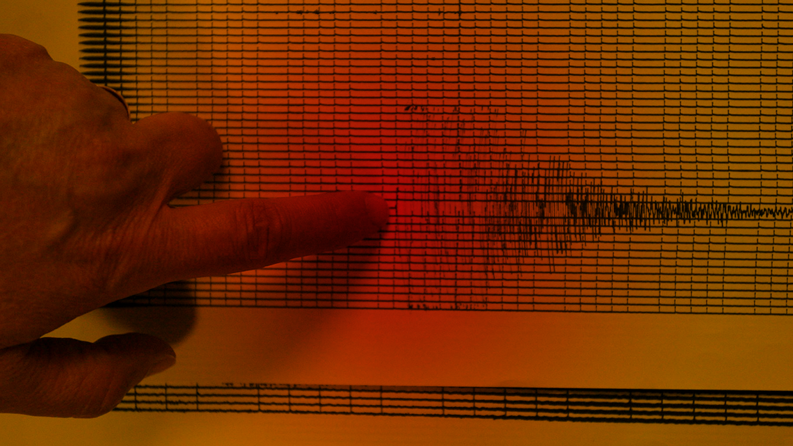
A magnitude 5.5 earthquake struck western Nevada on Monday evening, shaking some pockets of Northern California.
The epicenter was about 12 miles southeast of Silver Springs, Nevada, in Lyon County, according to the U.S. Geological Survey.
The quake hit at 6:29 p.m. at a depth of about 6 miles and was revised down from the original estimate of magnitude 5.7. There were no reports of major damage or injuries.
In Silver Springs, Flavio Cardoza said the shaking was brief but noticeable while he was on duty at a Chevron gas station along Highway 95 Alternate, which runs through the town of about 5,000 people just beyond Lahontan Reservior.
He said the shaking lasted “for maybe two or three seconds.” There were no customers in the store at the time, but some co-workers from the Port of Subs sandwich shop inside the station stepped outside as a precaution.
“It was a good shaking,” he said. “It dropped a few products, a few bottles.”
Cardoza said some liquor bottles broke when they hit the ground, but there was no significant damage.
“Other than that we’re fine,” he said.
The epicenter was about 40 miles east of Carson City, Nevada, and roughly 45 miles east of Reno. It was also about 120 miles northeast of South Lake Tahoe and approximately 150 miles east-northeast of Sacramento.
Cellphone users across parts of Northern California, including the Sacramento area, reported receiving early warnings through the MyShake app and the U.S. Geological Survey’s ShakeAlert system moments before or as shaking began. But few in the capital region felt shaking.
Both systems confirmed on social media that they had sent out an early earthquake warning to users. The system is designed to provide seconds of warning to allow people to take protective actions such as dropping, covering and holding on.
ShakeAlert has generally proven effective in recent years, though it has had occasional issues. In December 2025, a false alert warned of a magnitude 5.9 earthquake near Carson City that never occurred. The alert was later canceled, and the USGS said it was caused by an error — “ghost triggers” in the system.
Despite rare errors, officials say the early warning system remains a critical tool for public safety, giving residents advance notice before shaking arrives.
As of 7 p.m., more than 3,000 users had self-reported the shaking to the USGS’ “Did You Feel It” feature on its earthquake website.
.jpg "image (1).jpg") A ShakeMap of an earthquake in a remote part of Nevada that struck at 6:39 p.m. Pacific time on Monday, April 13, 2026. U.S. Geological Survey
At least 15 aftershocks followed within minutes of the initial quake, including tremors ranging from magnitude 2.5 to 3.7. The aftershocks were centered in the same area near Silver Springs and Fallon Station and occurred between about 6:32 p.m. and 7:04 p.m.
The tremors erupted in a line running northeast to southwest along a portion of the Walker Lane seismic zone, home to numerous strike-slip faults that run along the backside of the Sierra Nevada within the Basin and Range. While earthquakes are common in the area, most are minor and cause little damage.
This story was originally published April 13, 2026 at 6:39 PM.
Related Stories from Merced Sun-Star

The Sacramento Bee
Daniel Hunt is a local news editor for The Sacramento Bee; he joined the newspaper in 2013.