
BAKERSFIELD, Calif. (KBAK/KBFX) — The warm weekend weather is set to continue, at least according to the forecast, as a ridge of high pressure can be found across the Western US.
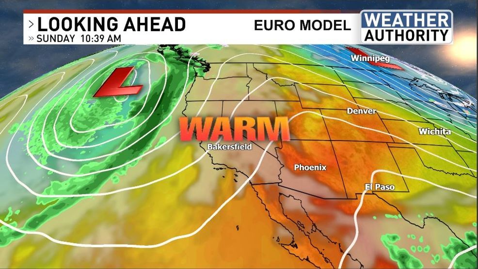
The afternoon temperatures could be the warmest they’ve been since the warmup first started with South Valley temps reaching into the mid and maybe even upper 80s on Sunday. The Kern River Valley and the Desert shouldn’t be too far behind with readings going into the 80s there as well.
Following the warm we are tracking a storm. The jet stream has been rerouted between two areas of high pressure, one of which is helping to build up the warmth locally this weekend. As a result, its dip just off the coast of California will put it in a favorable position to open the door to more active weather for the Golden State over the coming week.
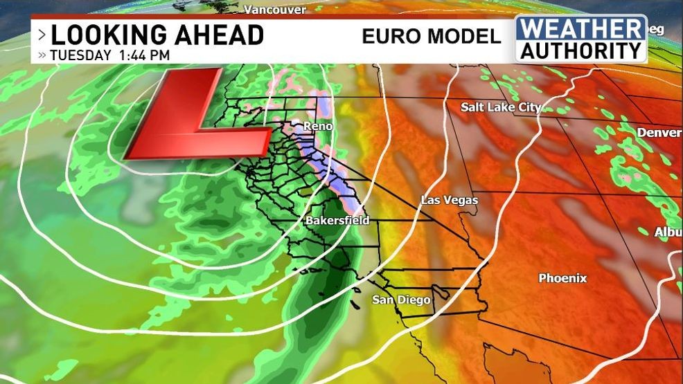
The atmosphere could potentially become unstable as a result of colder air in the mid and upper levels contrasting with warmer conditions closer to the ground. This is a formula for thunderstorms, and they could be likely across the State during the active weather. Stay tuned!
Comment with Bubbles
BE THE FIRST TO COMMENT
Chief Meteorologist Ilya Neyman