
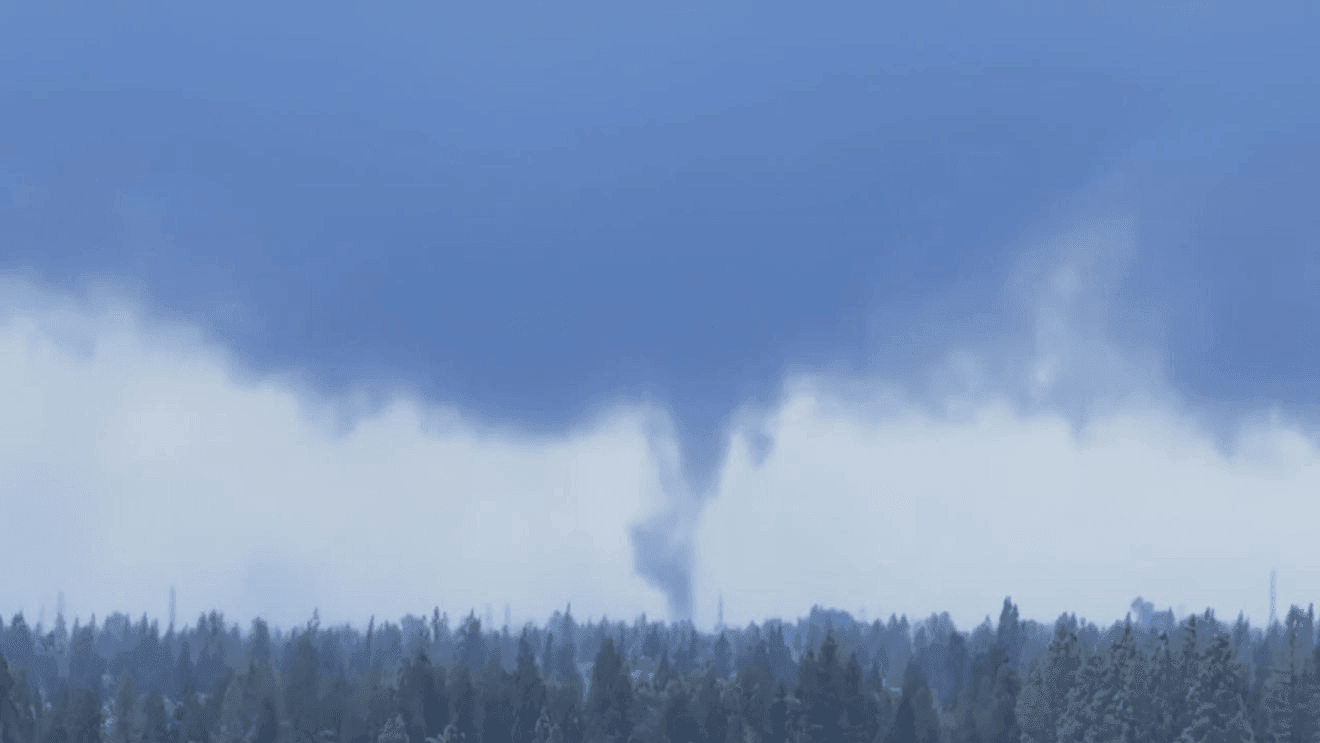
FRESNO, Calif. (FOX26) — Three tornados were confirmed Tuesday afternoon after a National Weather Service storm survey team assessed damage in parts of the Central San Joaquin Valley.
The tornados were confirmed between 2:10 p.m. and 5:15 p.m. by a Storm Survey Team from NWS Hanford made up of meteorologists Brandolyn Baeza, Alex Cooke, and Kris Mattarochia.
The damage happened near Biola and Clovis in Fresno County, and Atwater in Merced County.
NWS Hanford thanked the public, law enforcement, media, emergency managers, and first responders for sharing information that helped make the assessment possible.
Tornado near Biola, CA
Rating: EF-0
Estimated Peak Wind: 70 mphPath Length /statute/: 50 yardsPath Width /maximum/: 5 yards2:10 – 2:12 p.m.Tornado 8.5 mi NE of Clovis, CA
Rating: EF-1
Estimated Peak Wind: 95 mphPath Length /statute/: 0.5 milesPath Width /maximum/: 75 yards5:09 – 5:16 p.m.Tornado 2.5 miles W of Atwater, CA
Rating: EF-1
Estimated Peak Wind: 110 mphPath Length /statute/: 0.5 milesPath Width /maximum/: 100 yards3:30 – 3:39 p.m.
There have only been 3 days with 3 or more tornados in our area since 1955. Also, there have only been 3 days with multiple EF/F-1 tornados.
EF Scale: The Enhanced Fujita Scale classifies tornadoes into the following categories:
Comment with Bubbles
BE THE FIRST TO COMMENT
EF0 – 65 to 85 mphEF1 – 86 to 110 mphEF2 – 111 to 135 mphEF3 – 136 to 165 mphEF4 – 166 to 200 mphEF5 – >200 mph