
The Brief
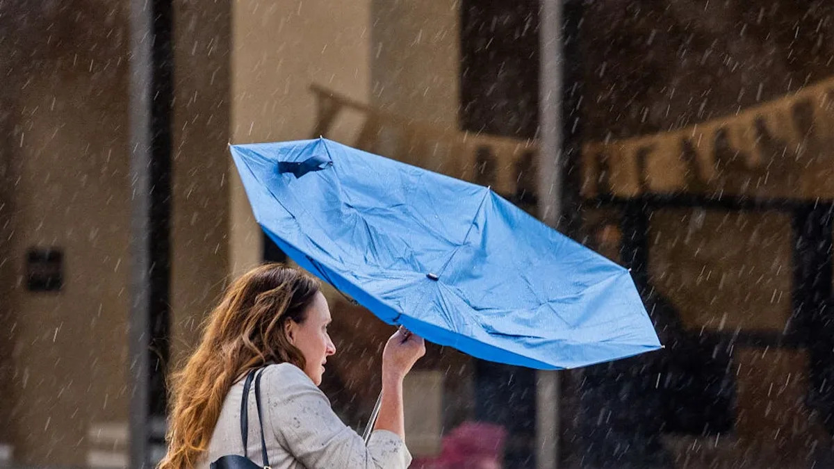
A weak late-season storm system is moving through Southern California on Saturday, ending a period of seasonal norms with a noticeable cooling trend.
Most areas can expect light rain totaling a tenth of an inch or less, while gusty winds could reach 45 mph in the Antelope Valley.
While rainfall amounts are expected to be minimal, it is unclear if the secondary system arriving mid-week will bring more significant precipitation.
LOS ANGELES – Southern California is experiencing a shift to cooler, unsettled weather this weekend as a low-pressure system brings light showers and breezy conditions, according to the National Weather Service.
Advertisement
Advertisement
Daytime highs are expected to drop into the 60s for many coastal and valley areas through Sunday.
What we know
Saturday’s high temperatures will struggle to reach the low 70s, a sharp decline from Friday’s seasonal conditions, the NWS said.
A tenth of an inch of rain is likely for most, though mountain ranges may see up to a quarter-inch.
Gusty southwest-to-west winds are a primary concern for interior regions, with peak gusts hitting 45 mph in corridors like the Antelope Valley.
What’s next
Skies are expected to clear by Sunday afternoon as the system exits, though temperatures will remain below normal into early next week.
Advertisement
Advertisement
Forecasters are already tracking another weak system that could bring additional light rain to the region by late Tuesday or Wednesday.
The Source
This report is based on information from the National Weather Service.