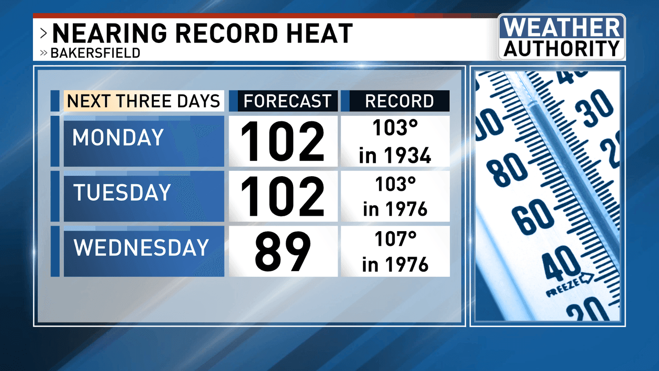
BAKERSFIELD, Calif. (KBAK/KBFX) — Following an increasingly warm weekend the heat is expected to go up a notch today, with afternoon highs nearing long-standing temperature records.
The 90s dominated the weekend across Kern County, minus the mountains. On Sunday Bakersfield topped out at 94. Edwards touched 101. Ridgecrest reached 102. High pressure is expected to reposition over the coming hours for an even more favorable heat setup, particularly for the South Valley, where we are watching for the potential of the season’s first 100-degree day in Bakersfield on Monday.
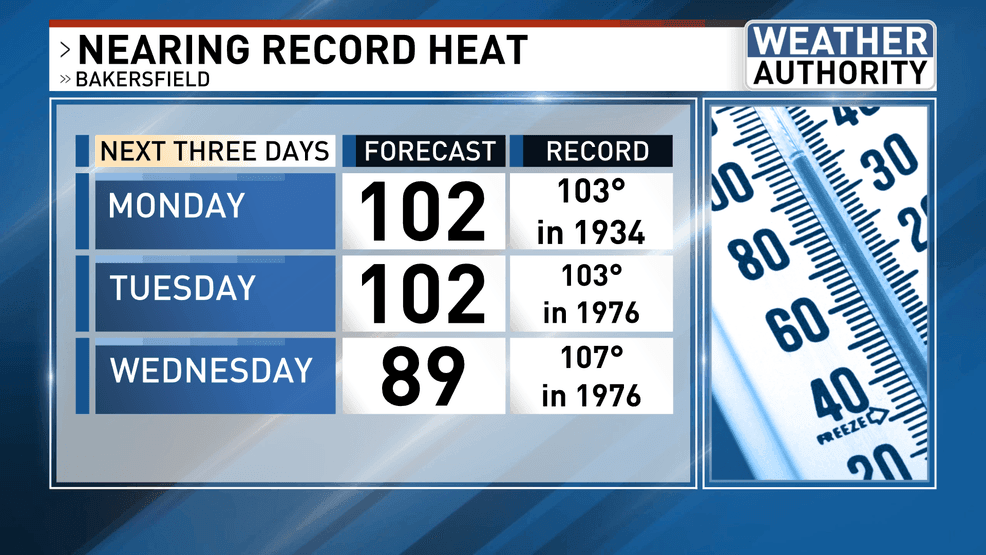
The upper pattern may favor a status-quo scenario going into Tuesday for a near repeat of temperatures. As such, another chance at 100+ across the South Valley, and our desert communities, will exist before area thermometers begin falling.
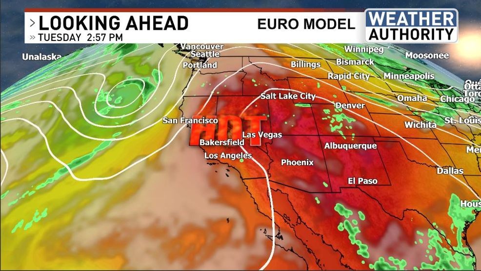
An upper-level low is then forecast to scoot into the Pacific Northwest heading into midweek and while its trajectory offers very little, if any, chance of so much as a raindrop anywhere near our area the shift in airmass will certainly bring about some welcome cooling. Temperatures could fall back into the upper 80s by Wednesday and down into the low 80s by Thursday.
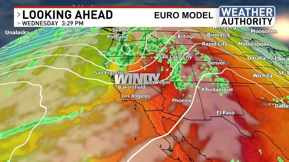
The winds are also expected to kick up a notch as the system passes by to the north. This will be true even for the South Valley where west to northwest winds may get rather brisk during the afternoon and evening hours. Wildfire hazard will probably be elevated this week, first due to the higher temperatures and dry conditions with afternoon breezes, followed by stronger midweek winds as the atmospheric pattern changes a bit.
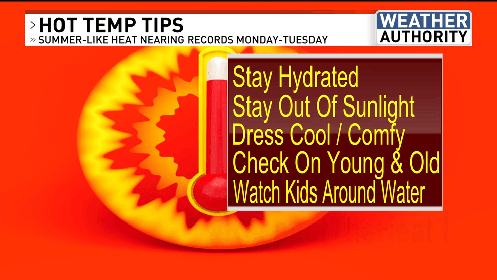
Please take the heat seriously and have a nice new week!
Comment with Bubbles
BE THE FIRST TO COMMENT
Chief Meteorologist Ilya Neyman