
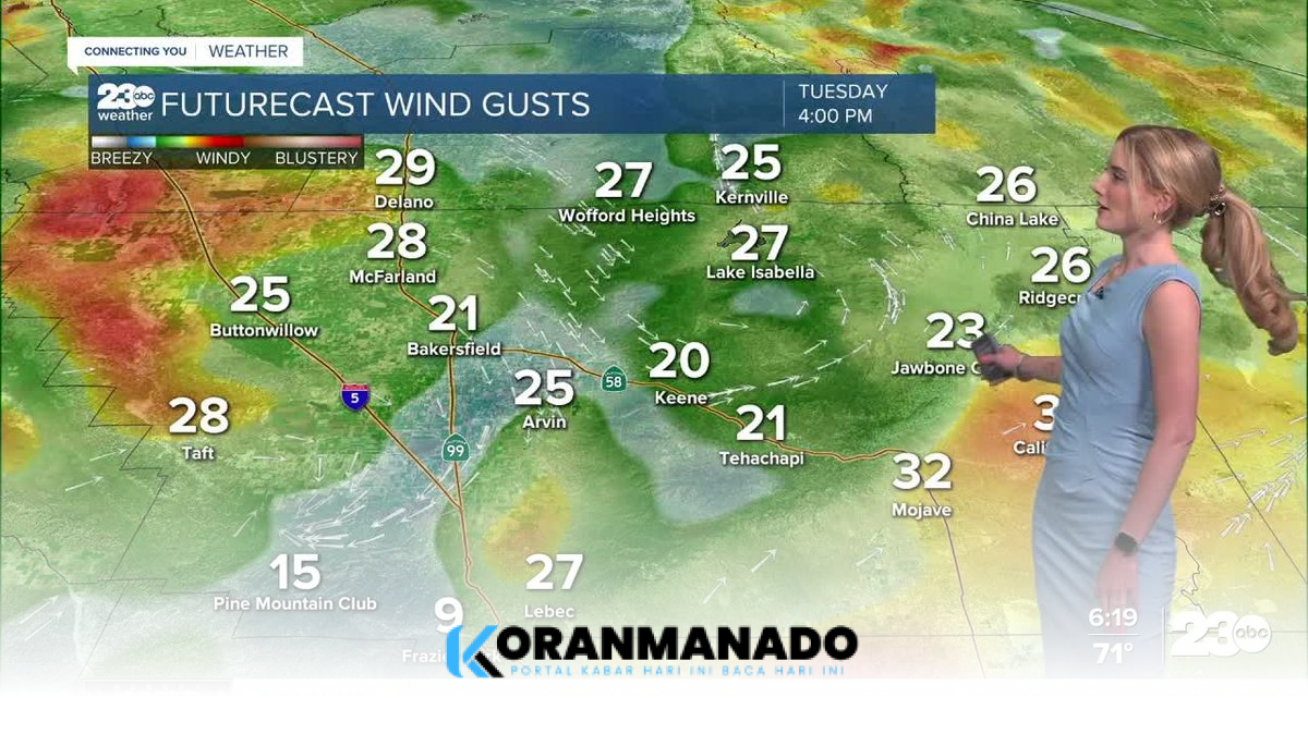
Kern County residents face a dual weather threat as a Heat Advisory remains in effect until 8 p.m. on Tuesday, May 12, 2026, followed by a surge of high-velocity winds expected to arrive by early evening. Meteorological reports from 23ABC indicate that the combination of triple-digit heat and sudden gusts has significantly elevated the risk of wildfires across the region.
Bakersfield is projected to hit a high of 101 degrees on Tuesday, while desert areas are expected to exceed the 100-degree mark. The Kern River Valley will likely see temperatures in the mid-to-upper 90s, with mountain communities nearing 90 degrees during the afternoon peak, according to 23ABC weather forecasts.
A specific Wind Advisory has been issued for the west side hills, including Taft and the Interstate 5 corridor in Buttonwillow, beginning at 5 p.m. Tuesday through early Wednesday morning. Forecasters expect southwesterly gusts to reach speeds of up to 35 mph as a weak atmospheric system begins to transition through the area.

The convergence of sustained high temperatures and increasing wind speeds creates hazardous conditions for fire spread. Local authorities cautioned that if any fire were to ignite, the current weather conditions are favorable for rapid expansion, as reported by 23ABC.
Relief from the extreme heat is anticipated to arrive on Wednesday when a cooler marine air layer moves into the valley. Temperatures in Bakersfield are forecast to drop approximately 13 degrees, reaching a more moderate high of 88 degrees to end the triple-digit streak.
Health officials advised the public to prioritize hydration and limit outdoor exposure during the peak hours of the Heat Advisory. The current wind conditions are expected to subside by Wednesday afternoon as the cooling trend stabilizes across Central California.
