
Strong winds, lowering temperatures, and increased wildfire potential summarize our newest weekend across Kern County.
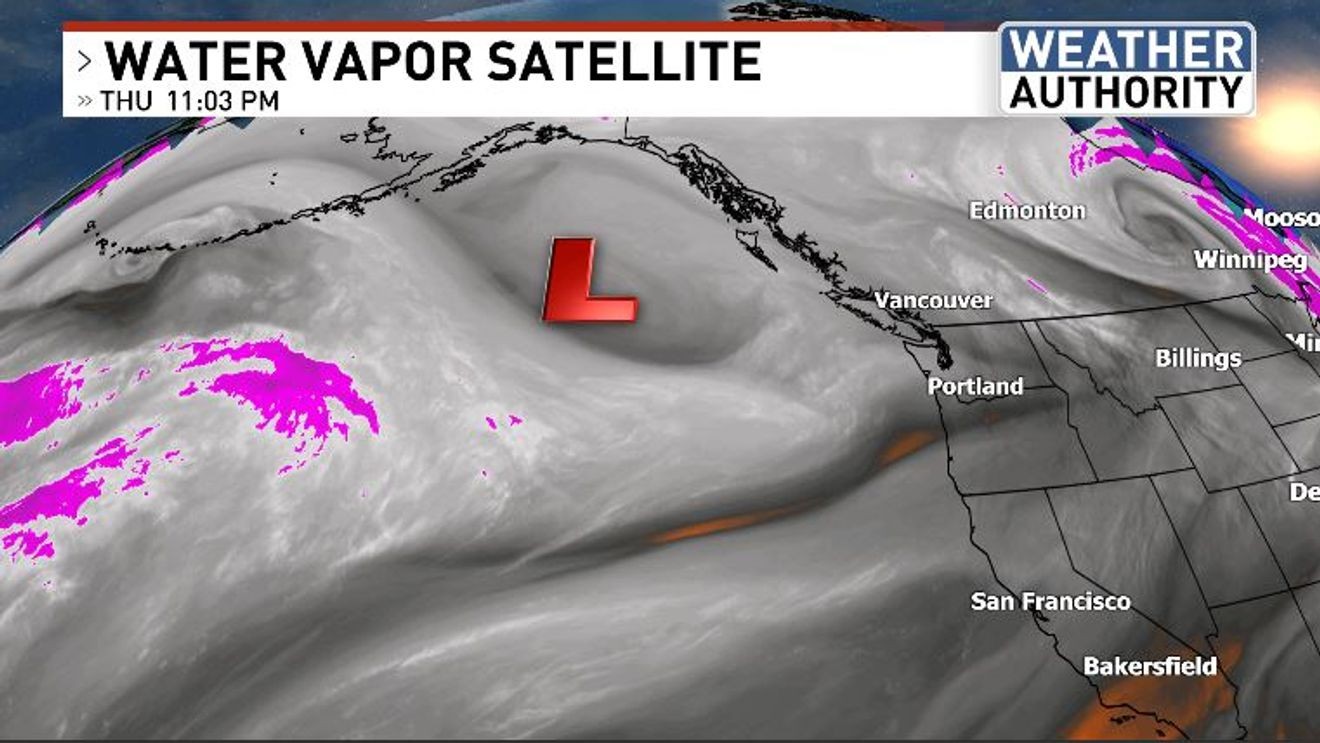
The heat from earlier in the week is a thing of the past, for now. An area of low pressure that was coming across the Gulf of Alaska is part of the atmospheric puzzle leading to our latest changes.
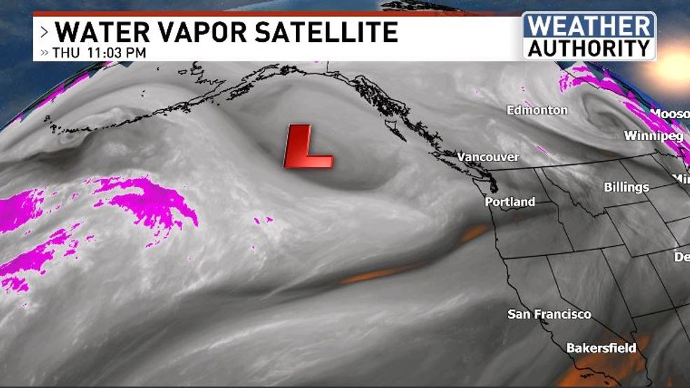
The trajectory of this trough places it from the Pacific Northwest southeast into the Great Basin of Nevada and Utah. The difference in barometric pressure between a Pacific high about halfway between Hawaii and California and the new Great Basin low will be a formula for wind, and a lot of it.
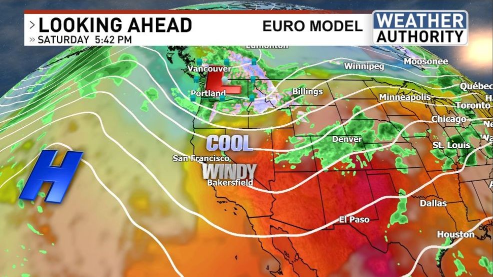
The North Pacific airmass will also lead to cooler temperatures, which will be especially pronounced across the mountains, where afternoon highs both Saturday and Sunday might have a tough time making it into the mid 60s.
Even though the air will be cooler, dry vegetation and strong winds will whip up the fire hazard, especially for the dry grasses that, if ignited, could spread quickly.
Have a wonderful weekend!
Comment with Bubbles
BE THE FIRST TO COMMENT
Chief Meteorologist Ilya Neyman