
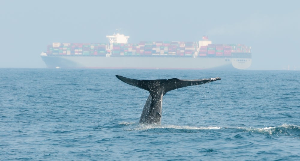
Researchers from UC Santa Barbara’s Benioff Ocean Science Laboratory (BOSL) and local partners in San Francisco have unveiled new technology in their ongoing efforts to prevent whales and oceangoing vessels from colliding in and near the busy San Francisco Bay. Powered by artificial intelligence, this system uses thermal imaging to detect the heat signatures of whales in the vicinity, as well as their “blows” (exhaled breath) in the busy waterway, and then alerts nearby mariners to re-route or reduce their speeds to avoid hitting them.
“We’re relieved to have these cameras going live during this critical moment in the gray whale season,” said BOSL scientist Rachel Rhodes, who is leading the project.
This much needed technology couldn’t come too soon. Whale season typically peaks in May and already this year seven whales have been fatally struck by cargo ships coming in and out of the bay. The researchers believe that the grays, who typically do not enter the bay during their 12,000-mile annual round trip between their Alaska feeding grounds and their Mexican birthing lagoons, are taking unexpected detours into the heavily-trafficked Bay searching for food that has become scarce in the Arctic due to climate change.
“It is heartbreaking to see these starving whales stumbling around in the middle of the hustle and bustle of San Francisco Bay,” said BOSL director, Professor Douglas McCauley. “Every day is a nailbiter. But what gives me hope is seeing how all the right partners in the Bay Area community have come together to do something. This new system will save whales’ lives. We are all proud of this.”
Tracking hungry gray whales
Designed by researchers at BOSL in collaboration with the U.S. Coast Guard’s Vessel Traffic Service, whale experts at The Marine Mammal Center, the system employs Flir thermal cameras coupled with AI-powered detection technology developed by marine mammal detection technology company WhaleSpotter that identifies marine mammals around the clock, detecting the heat signature of a warm-blooded whale blow at a range of up to four nautical miles (7 km). Each detection is instantly reviewed by one of WhaleSpotter’s credentialed marine mammal specialists before any alert goes out. Once they are spotted, UCSB scientists map out the whale detections on the Whale Safe website and share them with Bay mariners and the U.S. Coast Guard’s Vessel Traffic Service, which can then radio vessels when there are whales in the area under imminent threat.
The effort comes amid a troubling new pattern for gray whales, which were once a conservation success story: Half of all Eastern North Pacific gray whales have died in the past 10 years. Researchers point to changes in their Arctic feeding grounds as the trigger for this crisis. As Arctic sea ice declines precipitously, the food chain upon which the whales depend is under threat. Less ice means less food.
As a result, many hungry gray whales are making a detour on their migration route into the San Francisco Bay, apparently to rest and search for food. This puts them at great risk as they must navigate around the many cargo ships, tankers, ferries, speed boats, fishing boats and tour boats that transit the Bay every day. Many emaciated and exhausted whales have victims of ship strikes.
“Last year was one of the deadliest on record for gray whales in the bay, with 21 dead and seven more have already died this year,” Rhodes said. “The whale and mariner communities have been racing to get ahead of this, building new tools and partnerships we didn’t have a year ago.”
The first node in the whale detection network was installed in collaboration with the Coast Guard on a USCG communication station on Angel Island. The system points across the Bay toward Treasure Island and the Bay Bridge and covers a hotspot of overlap between gray whales and vessels.