
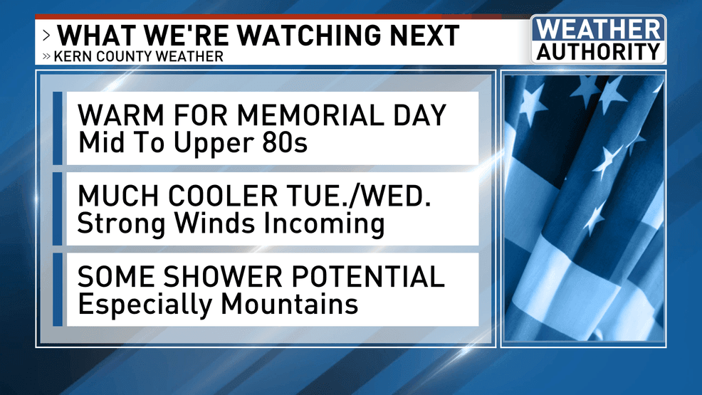
BAKERSFIELD, Calif. (KBAK/KBFX) — WARM FOR MEMORIAL DAY
Sunday’s high of 88 was 5 degrees cooler than Saturday’s 93. Memorial Day is expected to be warm and not hot as southcentral California will be in a transitional period ahead of the next major change. That change is currently traversing the north Pacific, on the way to the coastline of British Columbia, in the form of an unseasonably strong low.
MUCH COOLER TUESDAY-WEDNESDAY
That low is forecast to dive southeast into the Pacific Northwest states, and then continue on southward into western Nevada and northern California. The latest model data is now suggesting a spoke of atmospheric energy digging further south, and possibly even southwestward as a closed low pressure circulation, that could move right over the Central Valley by Wednesday afternoon. Temperatures are expected to fall into the 70s across the South Valley, and possibly as low as the low 60s across the mountain towns. Overnight lows in the high country are expected to drop down into the 30s. The intense pressure gradient is expected to ramp up the winds, which will probably be quite strong as all of this unfolds.
AND NOW SOME SHOWER POTENTIAL TOO
The proximity of the upper low, along with the latest trends in its trajectory, could introduce substantial atmospheric lift, moisture and instability for the development of showers – most likely across the mountains but possible elsewhere as well. The pocket of cold air in the mid to upper levels on top of ground-level temperatures under the influence of a strong late May sun seem to suggest a recipe for thunderstorms as well, and this overall scenario will be the forecast focus as we kick of a brand new week!
 Comment with Bubbles
BE THE FIRST TO COMMENT
Chief Meteorologist Ilya Neyman