
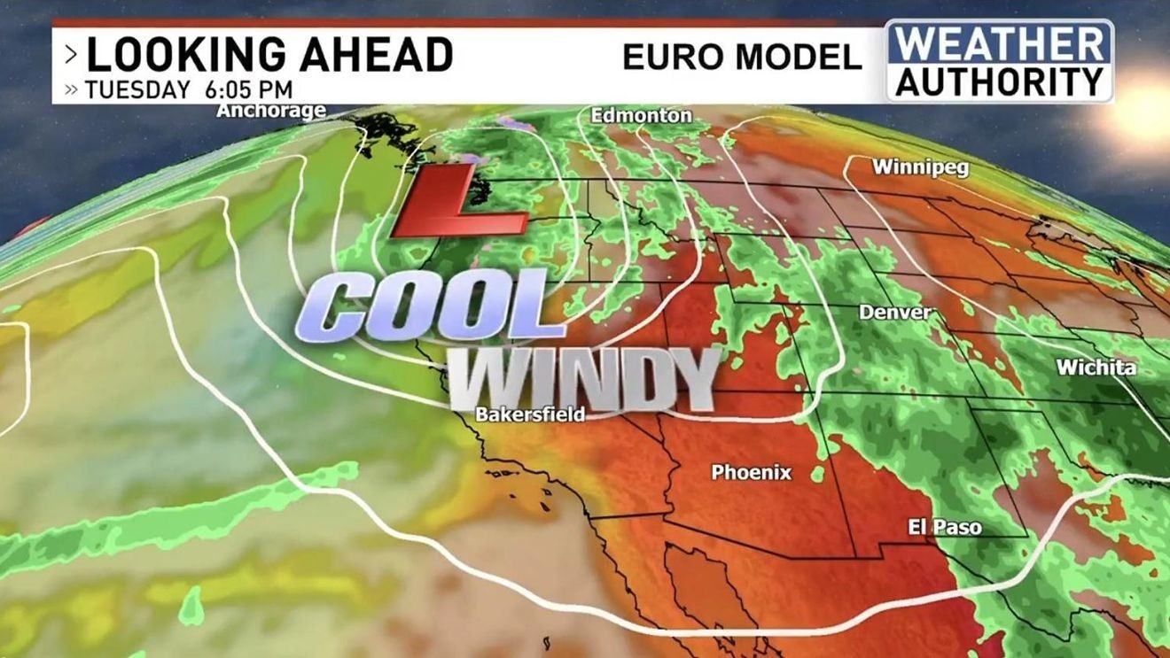
BAKERSFIELD, Calif. (KBAK/KBFX) — The warmth of the holiday weekend could start to transition to a cooler weather pattern during the early to middle part of the new week.
Model signals have the next trough knocking the ridge a bit out of the way around Memorial Day.
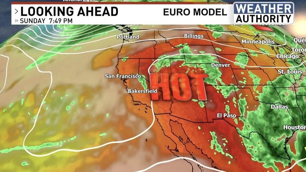
That system looks to be another Pacific Northwest “landfall” with a Great Basin run possibly in the works.
If that does commence the two most notable effects it will have on our local weather will be COOLER temperatures and strengthening WINDS.
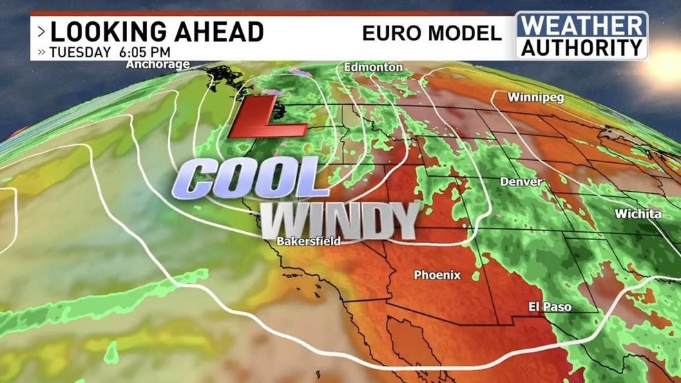
Right now, it appears that this pattern would be most pronounced between Monday and Wednesday of the upcoming week.
Have a great day!
Comment with Bubbles
BE THE FIRST TO COMMENT
Chief Meteorologist Ilya Neyman