
BAKERSFIELD, Calif. (KBAK/KBFX) — TEMPS CLIMBING ‘TIL THE WEEKEND
It’s definitely summer-like, and those daily readings could get even hotter before the week concludes. Triple digits were reached across some of our desert communities Wednesday, and mid 90s dominated the South Valley. Over the next two days, highs could move toward the high 90s in Bakersfield, especially Friday.
HOTTEST IN THE DESERT
The 100-degree heat will be hanging around our desert towns, but it will continue to be a “dry heat,” which means when you combine that with an afternoon breeze, the oppressive factor will be a bit less. Still, it’s a reminder to stay hydrated, find the shade if outdoors, and use the A/C when in, and always “look before you lock” your vehicle to make sure you didn’t leave a child or a pet inside!
THE NEXT COOLDOWN: BEGINNING THIS WEEKEND
As a trough comes ashore across the Pacific Northwest, temperatures will respond by heading down over parts of the Southwest. Our highs have a chance to get back to the 80s by Sunday, and a northwesterly flow could keep the temps from flexing back even into at least early or mid-next week.
THE FIRST TROPICAL STORM OF THE SEASON IN THE EAST PACIFIC
Comment with Bubbles
BE THE FIRST TO COMMENT
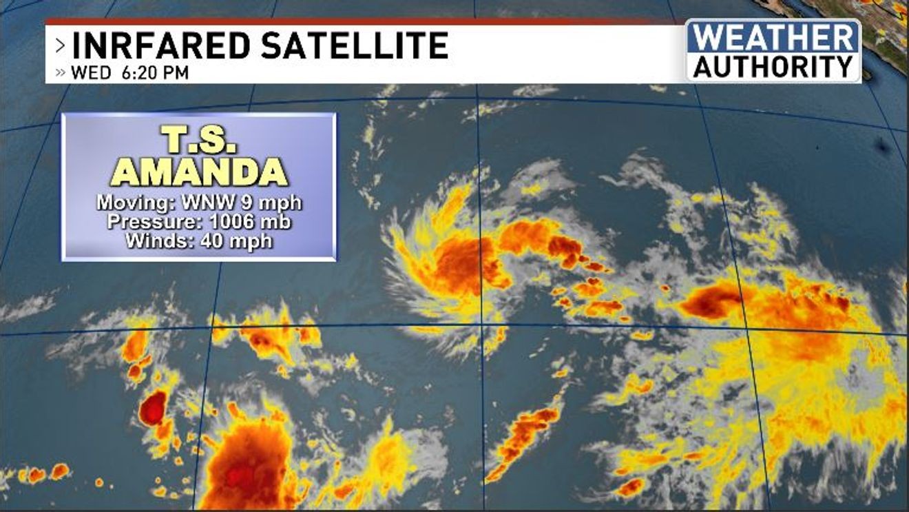
This time of year, we also start noticing tropical activity across the warmer parts of the oceans bordering North America. While the Atlantic is still quiet, the East Pacific is home to the first tropical storm of the season: Amanda. This system is located out over the open ocean, about halfway between the Mexican coast and the Hawaiian Islands, and will probably pose no threat to any land. The National Hurricane Center is also watching an area of potential activity that COULD form into a storm in the days ahead off of the shore of far southern Mexico. If that were to occur, it could be much closer to land and even cruise routes and destinations, which is not uncommon for the time of year.