
The scientists further calculated how human-induced drivers of local land motion increase uncertainties in the sea level projections by up to 15 inches (40 centimeters) in parts of Los Angeles and San Diego counties. Reliable projections in these areas are challenging because the unpredictable nature of human activities, such as hydrocarbon production and groundwater extraction, necessitating ongoing monitoring of land motion.
Fluctuating Aquifers, Slow-Moving Landslides
In the middle of California, in the fast-sinking parts of the Central Valley (subsiding as much as 8 inches, or 20 centimeters, per year), land motion is influenced by groundwater withdrawal. Periods of drought and precipitation can alternately draw down or inflate underground aquifers. Such fluctuations were also observed over aquifers in Santa Clara in the San Francisco Bay Area, Santa Ana in Orange County, and Chula Vista in San Diego County.
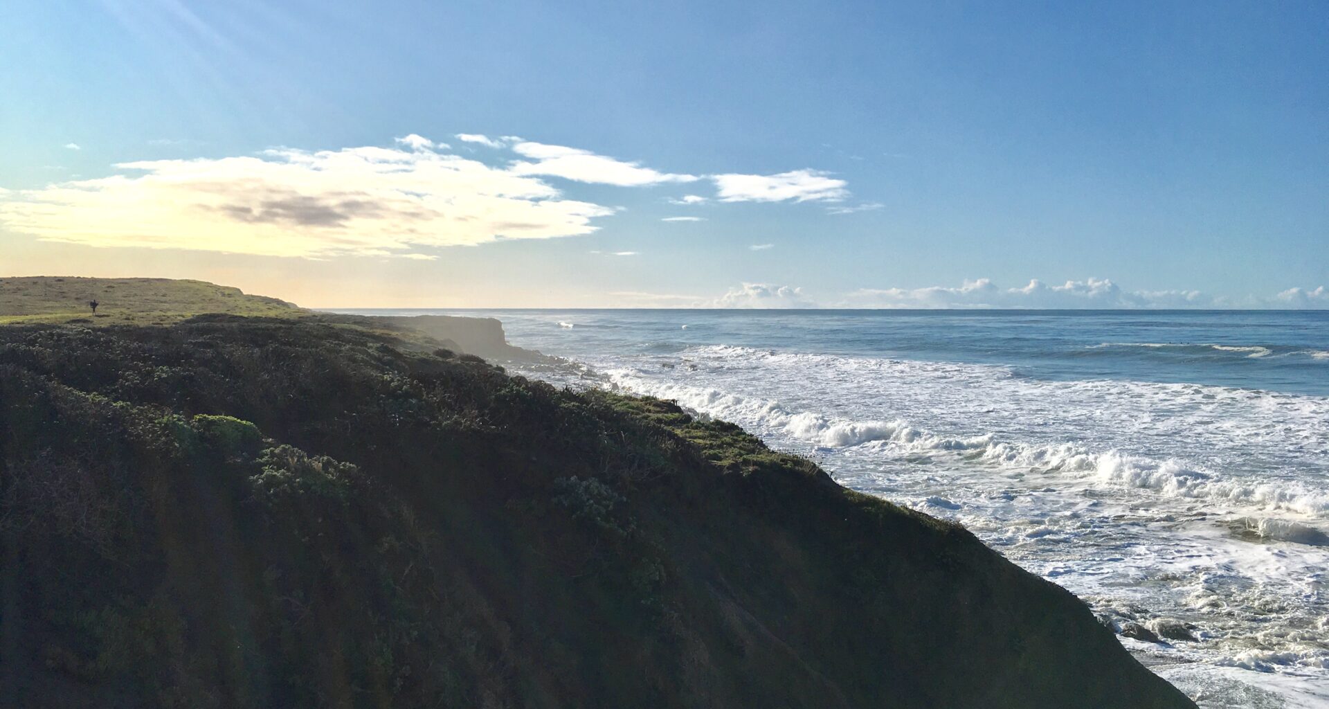
Along rugged coastal terrain like the Big Sur mountains below San Francisco and Palos Verdes Peninsula in Los Angeles, the team pinpointed local zones of downward motion associated with slow-moving landslides. In Northern California they also found sinking trends at marshlands and lagoons around San Francisco and Monterey bays, and in Sonoma County’s Russian River estuary. Erosion in these areas likely played a key factor.
Scientists, decision-makers, and the public can monitor these and other changes occurring via the JPL-led OPERA (Observational Products for End-Users from Remote Sensing Analysis) project. The OPERA project details land surface elevational changes across North America, shedding light on dynamic processes including subsidence, tectonics, and landslides.
The OPERA project will leverage additional state-of-the-art InSAR data from the upcoming NISAR (NASA-Indian Space Research Organization Synthetic Aperture Radar) mission, expected to launch within the coming months.