
BAKERSFIELD, Calif. (KBAK/KBFX) — BIGGEST CHANGE: THE CLOCKS
Bakersfield saw Sunday’s sunset at 5 p.m., following a sunrise at 6:19 a.m. That was the biggest change this weekend as the calendar went from October to November, while the weather stayed nearly the same.
WARM FOR ANOTHER DAY OR TWO, THEN A COOLDOWN A COMIN’
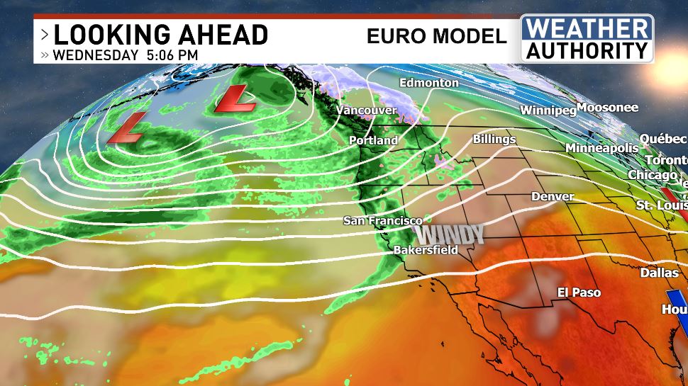
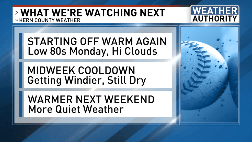
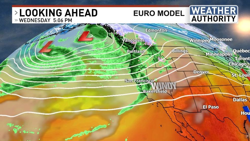
Continued warmth is in store for Monday, with upper 70s to low 80s the most common numbers anticipated across Kern County by afternoon. The upper ridge that helped keep us warm and quiet should quickly develop eastward, while a bit of a north Pacific trough swings a system into the Pacific Northwest by Wednesday. The effects in our region will be cooler temps and higher winds. The coolest day of the next 7 appears to be Thursday, when South Valley readings might end up around, or even just under, 70. Any rainfall still appears to be far enough away to our north and west so as to not really be a factor for our neck of the woods, at this time.
KBAK/KBFX
KBAK/KBFX
WARMER AGAIN NEXT WEEKEND, BUT A PATTERN CHANGE COULD BE ON THE HORIZON
Comment with Bubbles
BE THE FIRST TO COMMENT
Following the brief window of cooler conditions, another ridge could ride into our region by late week and on into the weekend. That’s when the warmth will probably return. However, multiple models are indicating that a more substantial trough could then dive down the eastern side of the north Pacific, developing into an active weather opportunity for central and southern California sometime during the following week. Are these progs onto something? Stay tuned…