
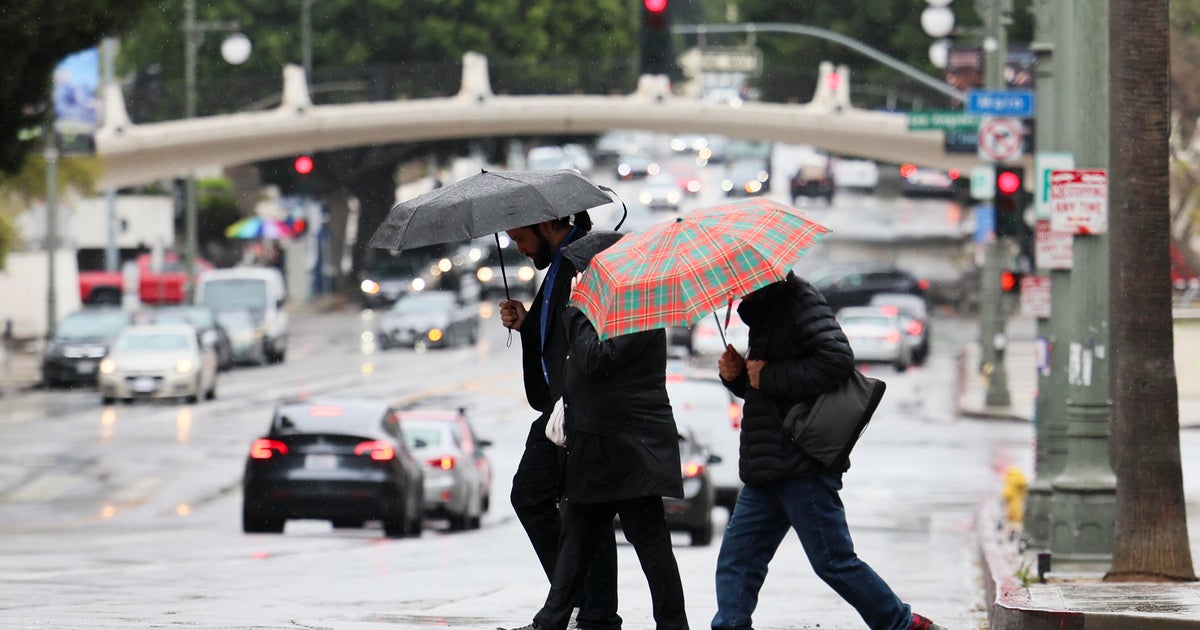
Several evacuation warnings and orders have been issued in Southern California as an early-season storm brings heavy rainfall and the potential for flooding on Tuesday.
The storm started in the Pacific Northwest before making its way south. The rain started in some areas late Monday night and is expected to continue through Tuesday afternoon. Forecasters predict that steady rainfall amounts will continue through about 6 and 8 a.m. in most areas.
A CBS LA Next Weather Alert was issued over the weekend for much of Southern California ahead of the storm to warn communities that the weather event might impact their daily routines or create dangerous conditions. The alert remains in effect until Wednesday morning.
The National Weather Service has issued several weather warnings, including a severe thunderstorm watch for Los Angeles, Ventura and Santa Barbara counties until 6 a.m. A flood watch is also in effect until Tuesday afternoon for recent burn scar areas in Ventura and LA counties. Weather officials are concerned that the heavy rainfall may trigger “hazardous and damaging flooding and debris flows.”
“Peak rainfall rates in and near to the front have ranged from .5 to 1.00 inch/hr which is more than enough to create flooding and debris flows over and near to the 1st and 2nd year burn scars,” the NWS said.
On Monday night, Mayor Karen Bass and other local officials pre-deployed resources, including urban search and rescue teams, to areas of high risk.
Since the storm arrived, mountain areas in Ventura County have received about an inch of rain and LA County has received .10 to .25 inches.
CBS LA meteorologists say temperatures will continue to be below average as the storm remains in the region.
Evacuation warnings
Evacuation warnings have been issued in recent burn scar areas across Southern California, including the Eaton, Palisades, Hurst, Kenneth, Canyon and Sunset fire zones.
Burn scar areas have an elevated risk of flooding or debris flows. The wildfires removed vegetation that would normally slow water runoff.
The LA Fire Department said, “Prepare for possible evacuations in the zones: LFD-1081, 1083, 1085, 1087, 1089, 1091, 1092, 1093, 1095, 1096, 1097, and 0891 (Mandeville), Hurst Fire: LFD 0001-B, Sunset Fire: LFD-0835.”
The LAFD evacuation warning remains in effect until 6 a.m. on Wednesday.
LA County Supervisor Kathryn Barger, who represents part of the Eaton Fire zone, said residents in burn areas “must follow guidance from first responders if they’re asked to leave.”
The LA Fire Department said, “Prepare for possible evacuations in the zones: LFD-1081, 1083, 1085, 1087, 1089, 1091, 1092, 1093, 1095, 1096, 1097, and 0891 (Mandeville), Hurst Fire: LFD 0001-B, Sunset Fire: LFD-0835.”
The American Red Cross has also opened two shelters to assist residents who may be impacted by the severe weather.
Shelter locations:
Sierra Madre YMCA – 611 E Sierra Madre Blvd, Sierra Madre, CA 91024Stoner Recreation Center – 1835 Stoner Ave, Los Angeles, CA 90025