
Heavy rain and thunderstorms will be draped across the Bay Area on Monday afternoon.
Baron/Lynx
The gorgeous weather that graced much of California this weekend will soon be gone. A potent Pacific storm, the first truly statewide system of the new season, will sweep across the state Monday and Tuesday, unleashing heavy rain, thunderstorms and feet of Sierra Nevada snow.
Winter storm warnings and flood watches now cover much of the state. Upward of 0.5 to 1.5 inches of rain will fall from San Francisco to Los Angeles by Tuesday evening, with 2 to 3 inches of rain possible in coastal ranges and Sierra foothills. The higher Sierra could see up to 3 feet of snow.
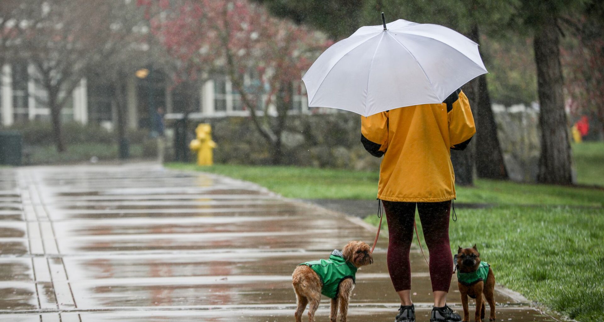
Beatrix Seidenberg walks with her dogs, Clifford and Tug, in the rain at Letterman Digital Arts Center in San Francisco in 2023. More rain is on the way for the Bay Area this week.
Brontë Wittpenn/The Chronicle
Rain drops are seen through a car window as people visit Twin Peaks in San Francisco in 2023. More rain is heading for the Bay Area this week.
Santiago Mejia/The Chronicle
Article continues below this ad
A soaking in the Bay Area
A strong upper-level low will spin up late Sunday off the Pacific Northwest and drift south along the California coast, positioning itself just offshore of the Bay Area by Monday morning and crossing inland by afternoon.
The low pressure system will be carrying an unusually cold pocket of air aloft, with temperatures near freezing at 5,000 feet, remarkable for mid-October. The resulting instability will prime the region for scattered thunderstorms from late Monday morning through evening, producing downpours, lightning, small hail and perhaps an isolated waterspout or weak tornado near the offshore and in the Santa Cruz Mountains.
For the rest of the region, Monday will be wet and rather cool. That cold air at the upper levels will start to be dragged to the surface by the falling rain, keeping temperatures in the low to mid-60s all across the Bay Area, a good 5 to 15 degrees below normal for this time of the year.
Steady rain will develop around 11 a.m. Monday morning in the Bay Area and persist through early evening. Heavier bursts of rain will develop in some of the stronger thunderstorms, especially along the west slopes of the Santa Cruz Mountains, Diablo Range, Berkeley hills and Peninsula’s coastal ridges, where 1 to 2 inches may fall by Tuesday morning. For the rest of the region, rainfall totals will be 0.5 to 1 inch of rain by Tuesday morning, including in San Francisco, Oakland and San Jose. The valleys of the North Bay will see a bit less accumulation, but some of the typical jackpot spots such as Mount. Tamalpais will probably end up with more than 3 inches of rain by Tuesday.
Article continues below this ad
Around a 0.5 of an inch to 1 inch of rain is forecast to fall around the Bay Area by Tuesday morning, with more showers expected on Tuesday afternoon.
Baron/Lynx
The falling rain will mix the cold upper-level air down to the surface, keeping daytime high temperatures in the low to mid-60s everywhere, roughly 5 to 15 degrees below normal for this time of the year. The combination of the cool temperatures and rain will probably make it feel even colder for most people.
Showers will taper late Monday night, but the rain threat lingers through much of Tuesday as the upper-level low lingers near the region, sparking continued scattered showers and thunderstorms with an additional 0.25 to 0.5 inches of rain possible in the Bay Area. Temperatures will continue to be quite cool though, with highs in the 50s and 60s regionwide.
Sierra snow bonanza
This won’t be a storm just for the Bay Area. The Sierra is in line for a fairly significant early season snowstorm from this system. Rain and snow will break out in the Sierra by Monday evening, with snowfall levels initially above 7,500 feet but dropping to around 5,500 feet by Tuesday morning. Winter storm warnings extend from Shasta County through the Sequoia National Forest, in effect Monday night through Wednesday.
Article continues below this ad
Light snow will start to pile up around Donner Pass by Monday evening, probably resulting in travel restrictions along Interstate 80. As snow levels drop Tuesday, light snow will spread to Truckee and eventually South Lake Tahoe, where 1 to 2 inches of snow is expected by late Tuesday.
Mono County looks to be the jackpot area for snow with this system. Heavy snowfall bands will develop Tuesday afternoon and evening, and upward of 1 to 1.5 feet of snow is likely in places such as Mammoth.
Upward of 2 to 3 feet will fall across the High Sierra in elevations above 10,000 feet by Wednesday, a significant early season haul. One to 2 feet of snow is expected down to about 6,500 feet through the Central and Southern Sierra.
On the western slopes of the Sierra including Yosemite, flood watches are in place through Tuesday afternoon. Thunderstorms with heavy rainfall will develop both Monday and Tuesday and could cause flash floods and debris flows around fire burn scars.
Flash flood concerns in Southern California
This storm won’t leave any part of the state untouched. Flood watches stretch from the Central Coast through Los Angeles from Monday evening to Tuesday night. Flood watches are up from the Central Coast down through Los Angeles from Monday evening through Tuesday evening.
Article continues below this ad
Upward of 1 to 3 inches of rain will fall in the foothills and coastal mountains, with some flash flooding and debris flow possible around recent burn scars such as the Palisades Fire. Los Angeles and coastal valleys can expect about 1 inch of rain by Tuesday evening, while even San Diego could see up to 0.25 of an inch of rain by Tuesday, which would be the city’s wettest October day since 2021.