
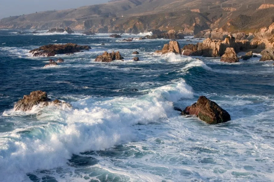
Southern Californians heading to the beach Sunday are being urged to use caution as dangerous surf and powerful rip currents move into the region, while another stretch of hot weather is expected to develop across inland areas later this week.
A High Surf Advisory takes effect at 5 p.m. Sunday for south-facing beaches in Los Angeles and Ventura counties, according to the National Weather Service. Forecasters say hazardous surf and strong rip currents are expected to continue through at least Tuesday night, with elevated surf possible later in the week.
The dangerous beach conditions are being driven by swells generated by Tropical Storm Elida off the coast of Baja California, along with additional tropical systems expected to develop in the eastern Pacific.
“We’ve got a High Surf Advisory that begins at about 5 o’clock today,” KTLA forecaster Kirk Hawkins said Sunday morning. “Also, some hazardous beach conditions on the Central Coast, continuing through Tuesday night.”
The National Weather Service said surf heights are expected to build to 3 to 5 feet Sunday before increasing to 5 to 8 feet Sunday night through Tuesday, creating dangerous swimming conditions, powerful rip currents and strong longshore currents along south-facing beaches.
Beachgoers are urged to stay out of the water if conditions appear dangerous and to swim only near staffed lifeguard towers.
While the coast remains relatively mild, temperatures across Southern California are expected to climb later this week.
“Temperatures are generally below normal for the start of the week, but we’ll see a slight increase later on,” Hawkins said.
Forecasters expect near-normal temperatures through Monday before a warming trend begins Tuesday. The heat is expected to peak Wednesday through Friday, with highs reaching 92 to 104 degrees across inland valleys, mountains and deserts. The National Weather Service says there is about a 60% chance that Heat Advisories will be needed during the latter half of the week, with hot conditions potentially continuing into next weekend.
The weather pattern could also bring a slight chance of monsoonal showers and thunderstorms to Southern California’s mountains and deserts.
“Tropical Storm Elida, along with a series of other disturbances off the coast of Baja California, [is] swirling up and increasing that humidity and even that muggy feeling that we’re experiencing,” Hawkins said. “It will increase the chances of some monsoonal moisture, showers and thunderstorms.”
Forecasters say there is a slight chance of showers and thunderstorms Sunday night into Monday, with another round possible Wednesday and Thursday, mainly across the mountains and deserts.
The National Weather Service also warned that the combination of hot temperatures, low humidity and gusty winds could increase fire weather concerns across inland areas later this week, particularly in the Antelope Valley, foothills and parts of Santa Barbara County where sundowner winds are expected.
Copyright 2026 Nexstar Media, Inc. All rights reserved. This material may not be published, broadcast, rewritten, or redistributed.
For the latest news, weather, sports, and streaming video, head to KTLA.