
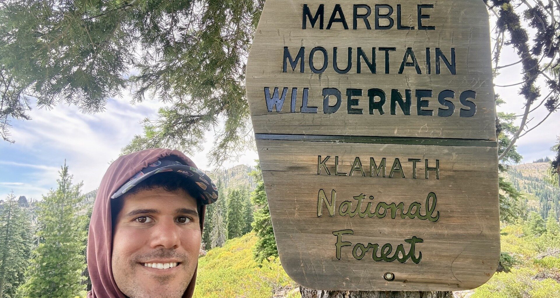
Note: I am hiking the PCT while working full-time remotely. I work Monday through Thursday from my RV, and trail run some Monday-Thursday nights and hike Friday through Sunday before returning to basecamp. It’s a balance between trail miles, logistics, and recovery—more on how it works here: https://thetrek.co/pacific-crest-trail/my-plan-to-hike-the-pct.
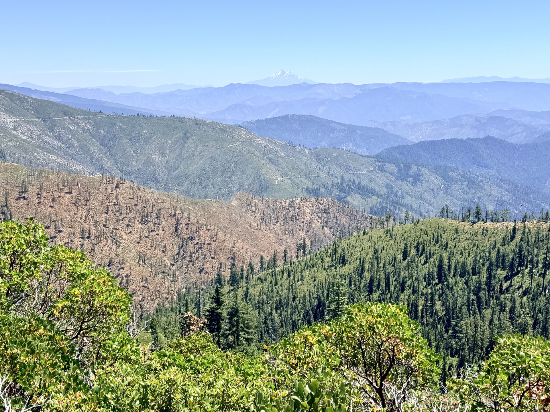 After more than 1,600 miles, I finally reached my last stretch of California.
It had taken me through desert, snow-covered mountains, volcanic landscapes, forests, rivers, and more logistical puzzles than I could have imagined when I started at Campo.
Now Oregon was close.
Sections Q and R took me through some of the most remote terrain in Northern California, including the Marble Mountains and Klamath Mountains. They also showed how much my approach to the PCT has evolved.
Every now and then, when the circumstances line up, I’m willing to “cheat” a little. Maybe the PCT follows a road for several miles and I drive it instead of walking it. Or, if something is hurting, I’ll find a way to hike a section southbound rather than northbound to avoid a massive climb.
These opportunities are rare and involve relatively few miles. More importantly, they’re usually alternatives to taking a zero day when my body isn’t cooperating. With a tight schedule to reach Canada, I’d rather creatively keep moving than lose an entire day.
After four months on the PCT, my priority is simple.
Keep experiencing the trail, keep moving north, and reach Canada.
Section Snapshot
Miles: 1601.2 → 1720.2
Start / End: Etna Summit → Oregon Border
Conditions: Warm summer days with cooler mountain mornings
Terrain: Marble Mountains, forested ridges, river valleys, and rugged Klamath terrain
Style: Mostly day hiking with one night of backpacking
Milestone: Final section of California
Mileage
Section Q
Friday, July 24, 2026 — Mile 1601.2 to 1625.2
Saturday, July 25, 2026 — Mile 1625.2 to 1657.4
Section R
Saturday, July 25, 2026 — Mile 1657.4 to 1658.2
Sunday, July 26, 2026 — Mile 1658.2 to 1681.7
Monday, July 27, 2026 — Mile 1681.7 to 1703.6
Tuesday, July 28, 2026 — Mile 1703.6 to 1720.2
What Defined These Sections
Remoteness.
The trail north of Etna Summit felt noticeably farther removed from civilization than much of Northern California.
The Marble Mountains provided the scenic highlight, with exposed ridgelines, rocky peaks, alpine lakes, and occasional openings across the surrounding wilderness. Then the trail plunged toward the Klamath River and Seiad Valley before climbing back into the mountains for the final push toward Oregon.
It was beautiful terrain.
It was also repetitive.
There were long forested stretches where views disappeared and progress felt measured more by miles than landmarks. After more than 1,600 miles in California, I was increasingly aware that I was ready for something new.
Back to Backpacking in the Marble Mountains
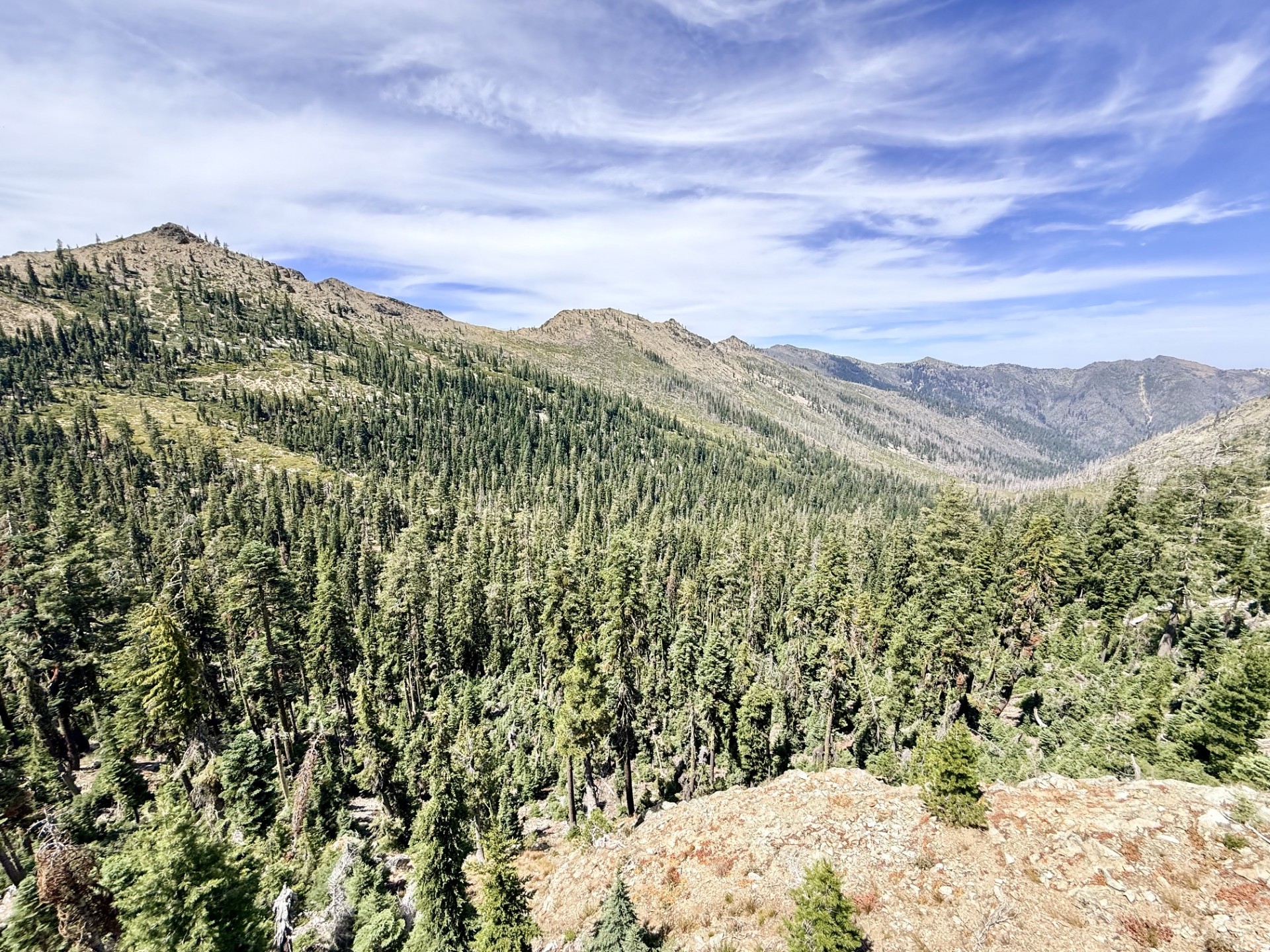 My first day out of Etna Summit required something I hadn’t done in more than a month.
I had to sleep in a tent.
There simply wasn’t a practical road crossing where I needed one, so the trail made the decision for me.
Earlier in the hike, I might have dreaded that. My heavy backpack had caused persistent back pain and rubbed wounds into my hips. Those problems were a major reason I transitioned so heavily toward day hiking after the Sierra.
Fortunately, more than a month of lighter hiking had worked.
My back felt good.
My hips had healed.
Carrying overnight gear again wasn’t nearly as uncomfortable as I expected.
The scenery helped.
The trail through the Marble Mountains alternated between forest and exposed mountain terrain, with pale rock formations rising above deep green valleys. Small alpine lakes appeared below the ridges, while occasional openings provided views across the Klamath Mountains.
It felt distinctly different from the volcanic landscapes around Mount Shasta.
Still, I was happy when the overnight portion ended.
I proved to myself that I could backpack comfortably again.
That didn’t mean I suddenly preferred it.
Given the choice between sleeping on the ground and sleeping in the RV, I still know exactly which one I’m choosing.
Taking the Road to Seiad Valley
 The descent toward Seiad Valley was long.
As the elevation dropped, the environment became hotter and drier. The high mountain scenery gradually disappeared behind me as the trail descended toward the Klamath River.
Eventually, the PCT itself joined the road.
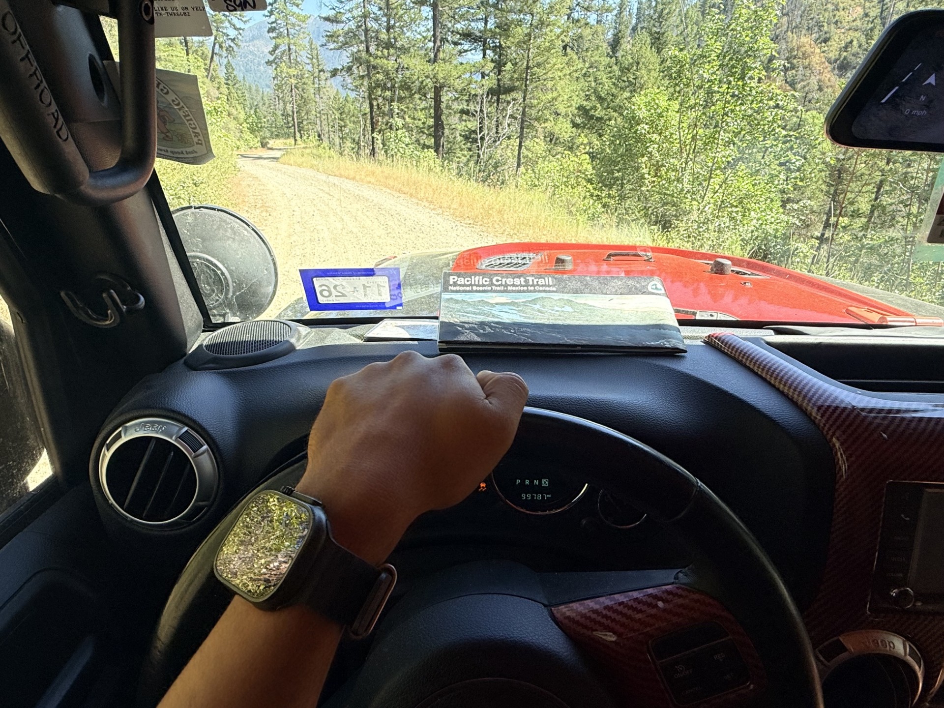
For roughly the final seven miles into Seiad Valley, I faced an unusual opportunity. Instead of following a mountain trail, the official PCT route was simply following the road.
So I drove it.
I don’t get many opportunities to substitute driving for walking while still traveling along the actual PCT route. After thousands of miles on foot, I was perfectly comfortable letting the Jeep handle several miles of pavement.
The road continued briefly into Section R, so I drove that portion as well.
Was that technically “cheating”?
Sure.
But it was also a rare opportunity, and after walking across deserts, climbing mountains, crossing snowfields, and wading through countless streams, I didn’t feel a strong need to prove that I could walk another stretch of pavement.
A Different Way Out of Seiad Valley
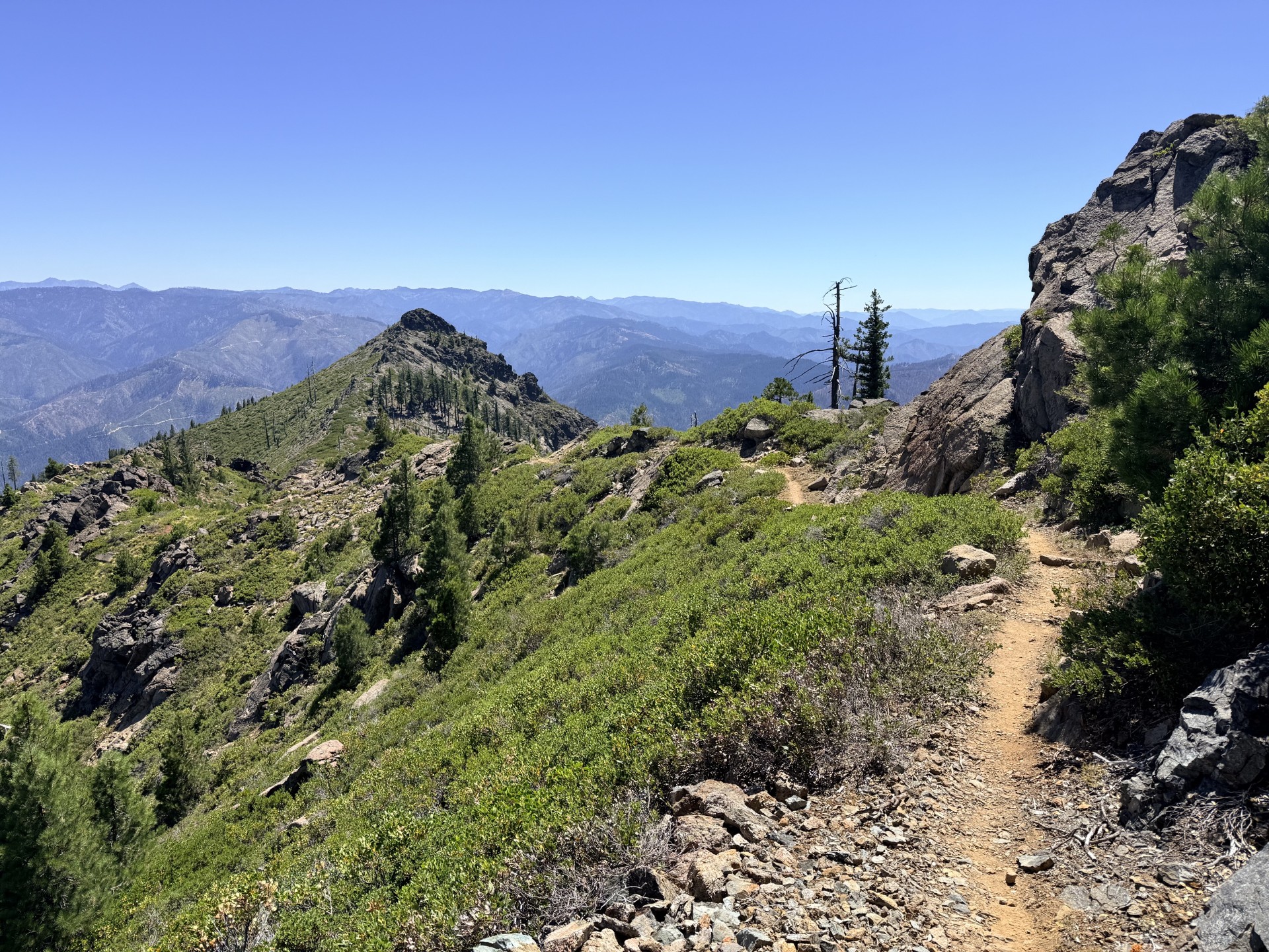 Seiad Valley is famous among PCT hikers for what comes next.
The climb out.
The trail gains more than 4,000 feet as it leaves the Klamath River valley and returns to the mountains.
Normally, I would have climbed it.
But my right leg had become unusually stiff. I suspected that several consecutive days of hiking without enough stretching were finally catching up with me.
With my schedule already tight, I had two basic choices.
I could take a zero day and hope my leg felt better tomorrow.
Or I could find another way to hike the section.
I chose the second.
I drove toward the top of the climb, started from higher elevation, and hiked the section southbound instead. I still covered the mountain terrain on foot, but rather than asking my stiff leg to handle more than 4,000 feet of climbing, most of the major elevation change became a descent.
It felt like a reasonable compromise.
I’m willing to push through ordinary fatigue, but I’ve learned enough over the past four months to recognize that forcing a major climb when something feels wrong isn’t necessarily an accomplishment.
Sometimes the smarter option is finding another way to keep moving.
The Final Push Through California
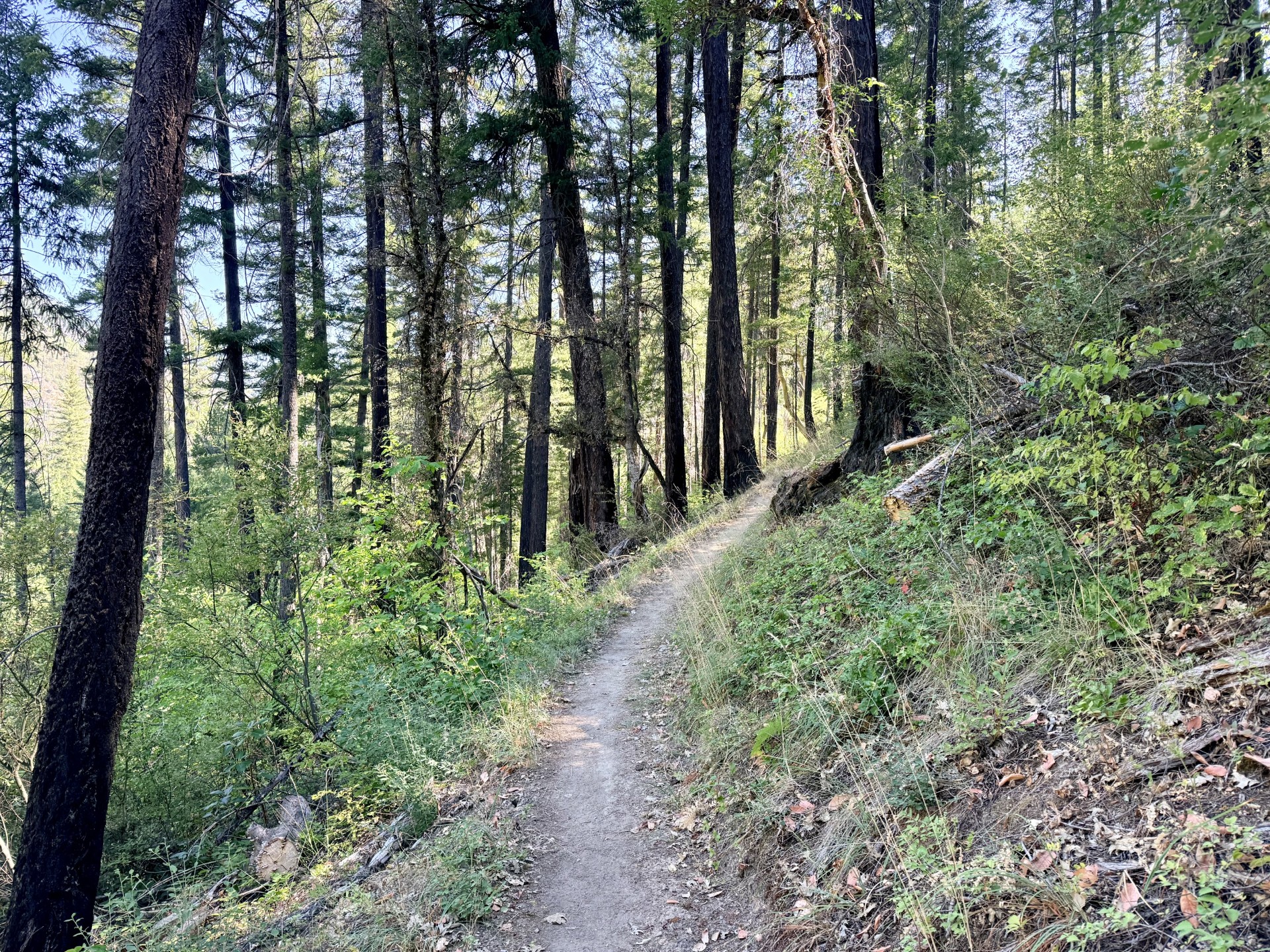 The following day, I drove back to where I had finished and resumed my northbound progress.
The landscape became increasingly forested as I approached Oregon. There were still occasional ridgeline views across the Klamath Mountains, but there were also long stretches beneath the trees where the scenery changed very little.
Those miles became more mental than physical.
I found myself checking the mileage more frequently.
Not because the hiking was particularly difficult.
Because the California border was getting close.
By this point, I had spent months organizing almost every day around the PCT. Working, driving, hiking, recovering, studying maps, finding access points, and then waking up to do it again.
I was ready for Oregon.
More broadly, I was increasingly ready to reach Canada.
I still enjoy hiking, and I still appreciate the places the PCT takes me. But the routine itself is exhausting. The closer I get to the end, the more finishing the trail feels like something I genuinely want rather than something I don’t want to end.
Backpacking Again
First tent night in more than a month.
My healed back and hips handled the heavier pack much better than expected.
Right Leg Stiffness
A reminder that lighter packs don’t eliminate cumulative fatigue.
Instead of taking a zero, I reversed direction on one section to avoid putting my leg through a 4,000-foot climb.
Long Forested Stretches
Beautiful wilderness, but some sections became repetitive.
Motivation increasingly came from approaching Oregon.
Knowing When to Find Another Way
Occasionally driving a short road portion or reversing hiking direction can keep me moving when circumstances warrant it.
These are rare adjustments, not my normal hiking strategy.
Road Access Remains Useful but Limited: These sections are more remote, making continuous day hiking harder. Some stretches may require camping regardless of your preferred strategy.
The Seiad Valley Climb Is Significant: The climb out of the Klamath River valley gains more than 4,000 feet. Heat can make the elevation gain feel even harder.
Expect Heat at Lower Elevations: Seiad Valley can feel dramatically warmer than the surrounding mountains.
The Marble Mountains Are Worth Slowing Down For: They provide some of the best scenery between Etna Summit and Oregon.
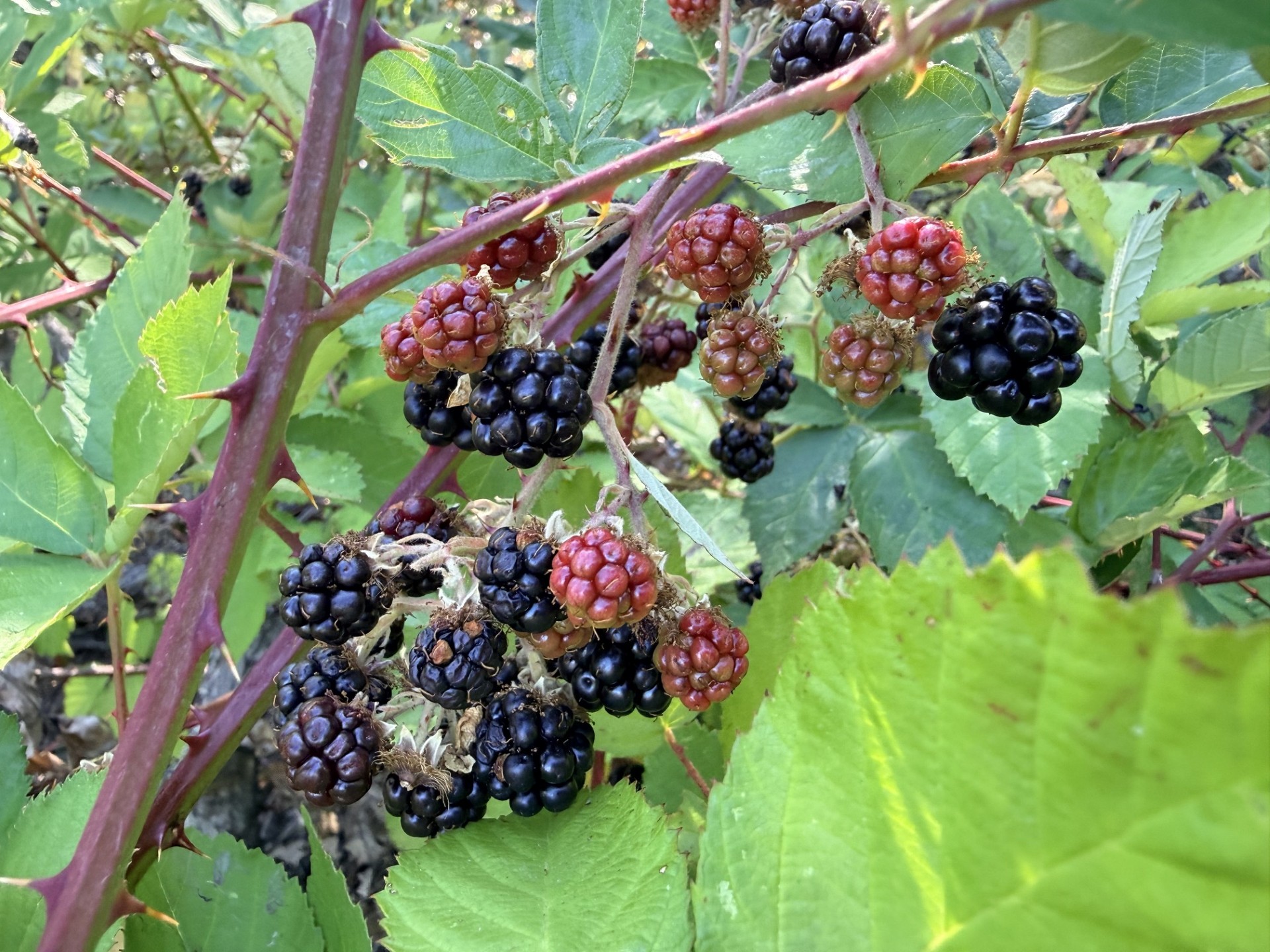 Crossing into Oregon felt different from every other milestone so far.
California is enormous.
I had been hiking through the same state since April.
During that time, I crossed the desert, climbed Mount Whitney, navigated snow-covered Sierra passes, walked through volcanic landscapes, watched Mount Shasta dominate the horizon, and eventually entered the remote mountains of Northern California.
My approach changed almost as much as the landscape.
I started the PCT thinking primarily about how to complete the trail.
Over time, I’ve become more comfortable finding alternative ways to keep progressing when they make sense.
Most of the time, I hike north.
Sometimes I trail run.
Sometimes I use a side trail to reach a road crossing.
And on rare occasions, I’ll “cheat” a little by driving a few road miles or hiking southbound instead of northbound when doing so helps me avoid aggravating an injury and losing an entire day.
After more than 1,700 miles, I’m comfortable with that.
I’m not trying to prove that I can make the PCT as difficult as possible.
I’m trying to experience nearly all of this incredible trail while working full-time, staying healthy enough to continue, and ultimately reaching Canada.
California is finally behind me.
One state down. Two to go.