
BAKERSFIELD, Calif. (KBAK/KBFX) — This weekend is forecast to be a whole lot cooler than the last one. Who could forget the 111 degree high in Bakersfield last Sunday? This Sunday’s forecast is around 15 degrees cooler!
A trough of low pressure has replaced the ridge of high pressure and that has essentially taken the heat down a notch across our region.
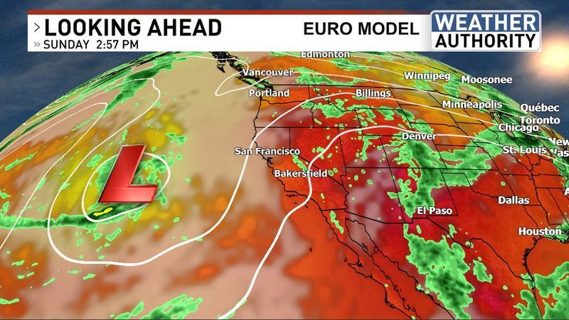
This new atmospheric pattern will continue to help keep us cooler and still dry.
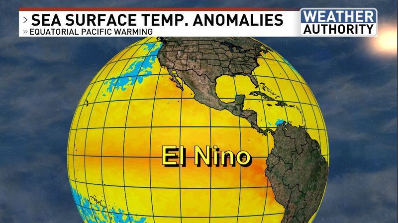
Meanwhile, El Nino continues to build across the equatorial Pacific Ocean. It’s looking very strong and could potentially be among the most impressive events on record. What does that mean for the world of weather? These events reconfigure the atmospheric circulation across large parts of the world and can lead to stormier weather in certain regions, while other areas are far drier than usual. No doubt, this event will be very important to track in the months ahead.
Chief Meteorologist Ilya Neyman