
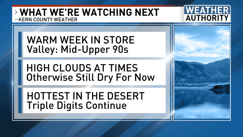
BAKERSFIELD, Calif. (KBAK/KBFX) — WARM WEEK IN STORE
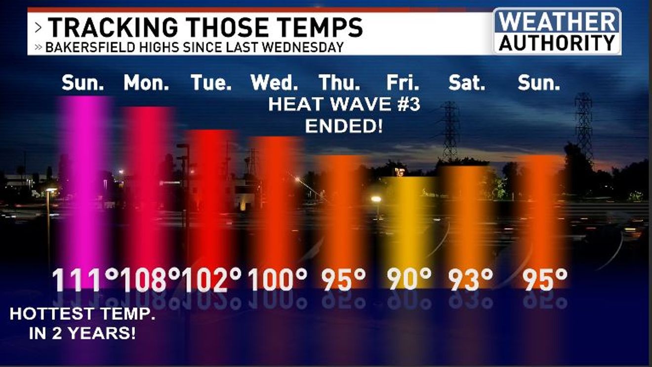
Last week started off with the hottest temperatures Bakersfield had seen in two years, with Sunday reaching 111 degrees. This week, by comparison, began a good bit cooler. Meadows Field topped off at 95. Our area is currently sandwiched in between a ridge of high pressure from northwest Mexico to Texas, and a trough out over the east Pacific. There are computer model indications that the high could expand ever-so-slightly in our direction, which would favor a modest bump up in area temperatures. Right now, it’s looking like mid to upper 90s would be most common for the South Valley, with 100 degrees not out of the question, especially around midweek or so.
HIGH CLOUDS AT TIMES
That trough just to our west has been funneling in some high clouds from the south-southwest, which is bringing us some sky variety. This may continue, in various amounts, throughout the week.
HOTTEST IN THE DESERT
Hot will be accurate when describing the desert temperatures. Triple digits are likely all week long, with highs potentially reaching as high as 107 by Thursday.
Have a great week!