
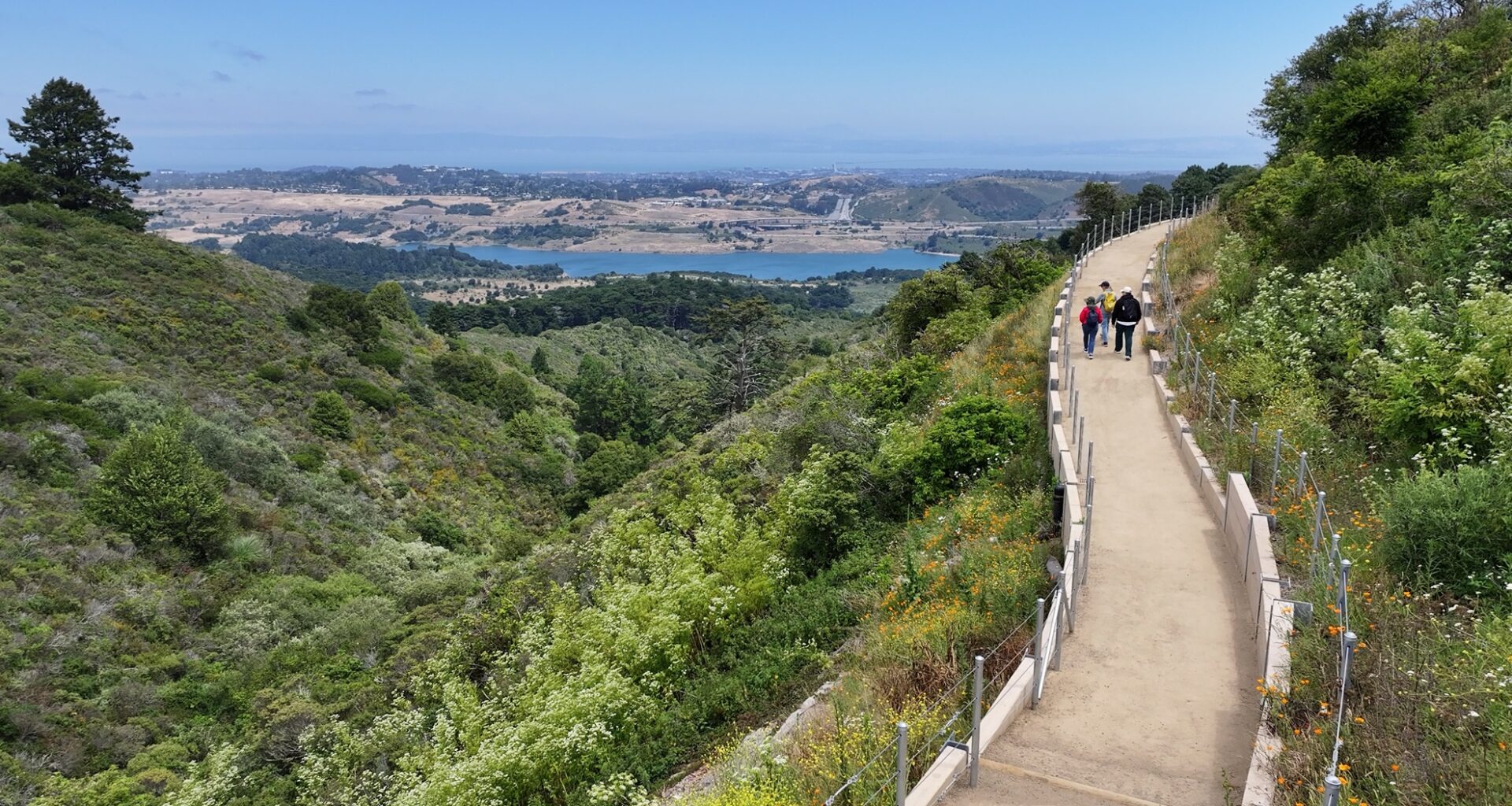
Once “a hard place for people to access,” the Skyline Watershed Ridge Trail is opening to the public — completing another leg of the Bay Area Ridge Trail.
Aug 21, 2026
Updated 12:11 pm PT
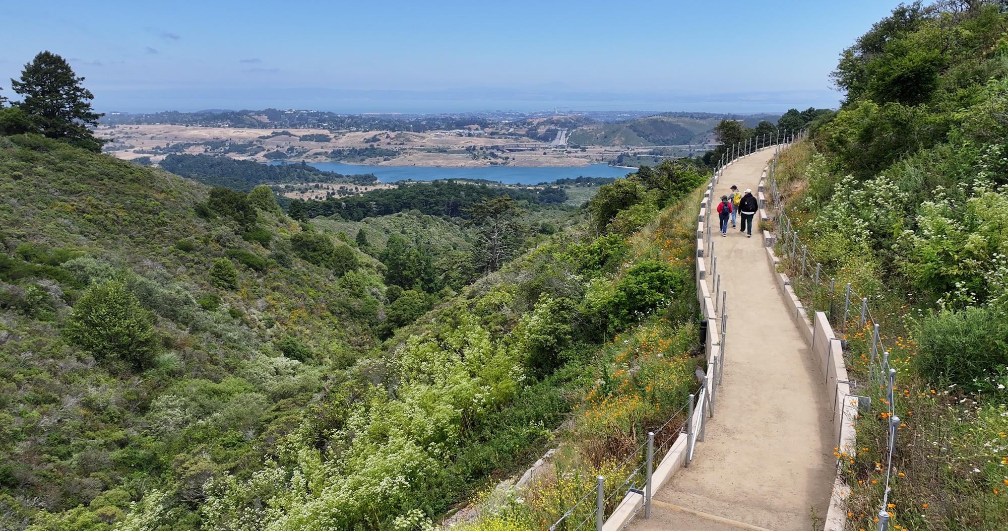
A view of the Skyline Watershed Ridge Trail. The 6-mile trail opens Monday and its landscape has the highest concentration of rare, threatened and endangered species in the Bay Area. (Courtesy of the San Francisco Public Utilities Commission)
A major new trail in San Mateo County is opening on Monday: the Skyline Watershed Ridge Trail.
The 6-mile trail, which can only be done as an out-and-back, runs through the San Francisco Public Utilities Commission’s watershed lands — a habitat that supports three of the Bay Area’s largest reservoirs.
This landscape also contains the highest concentration of rare, threatened and endangered species in the Bay Area, according to the San Francisco Estuary Institute.
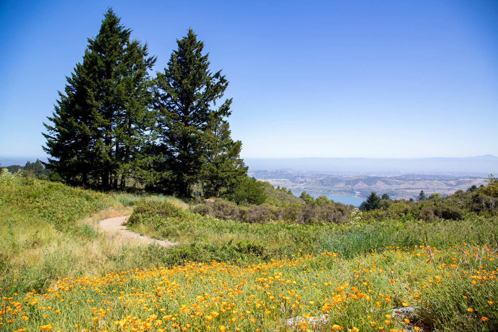 A view of the Skyline Watershed Ridge Trail. The trail is open from 6 a.m. to 6 p.m. daily to hikers, runners, cyclists and equestrians.
Running parallel to Skyline Boulevard south of Highway 92, the new trail marks the completion of a key segment of the Bay Area Ridge Trail, a 500-mile loop trail that is currently around 75% complete and will eventually circumnavigate the whole region.
“This has been a hard place for people to access,” SFPUC Natural Resources and Lands Management Division Manager Tim Ramirez said. “We’re finally able to offer something to people that is going to be new and also give them a glimpse into the universe here on the watershed.”
The new Skyline Watershed Ridge Trail is free to access but requires a permit that’s good for the next four months, which visitors can find online. If you’re planning on visiting, Ramirez said to get there early, as the parking lot can fill up quickly.
In addition to its vistas, the new trail features interpretive signs detailing the story of the watershed and SFPUC’s water system, which delivers clean drinking water from Hetch Hetchy in the Sierra Nevada to 2.7 million Bay Area residents. The signs, Ramirez said, also detail the diversity of plants and animals that are home to the area and the history of the people who have lived there.
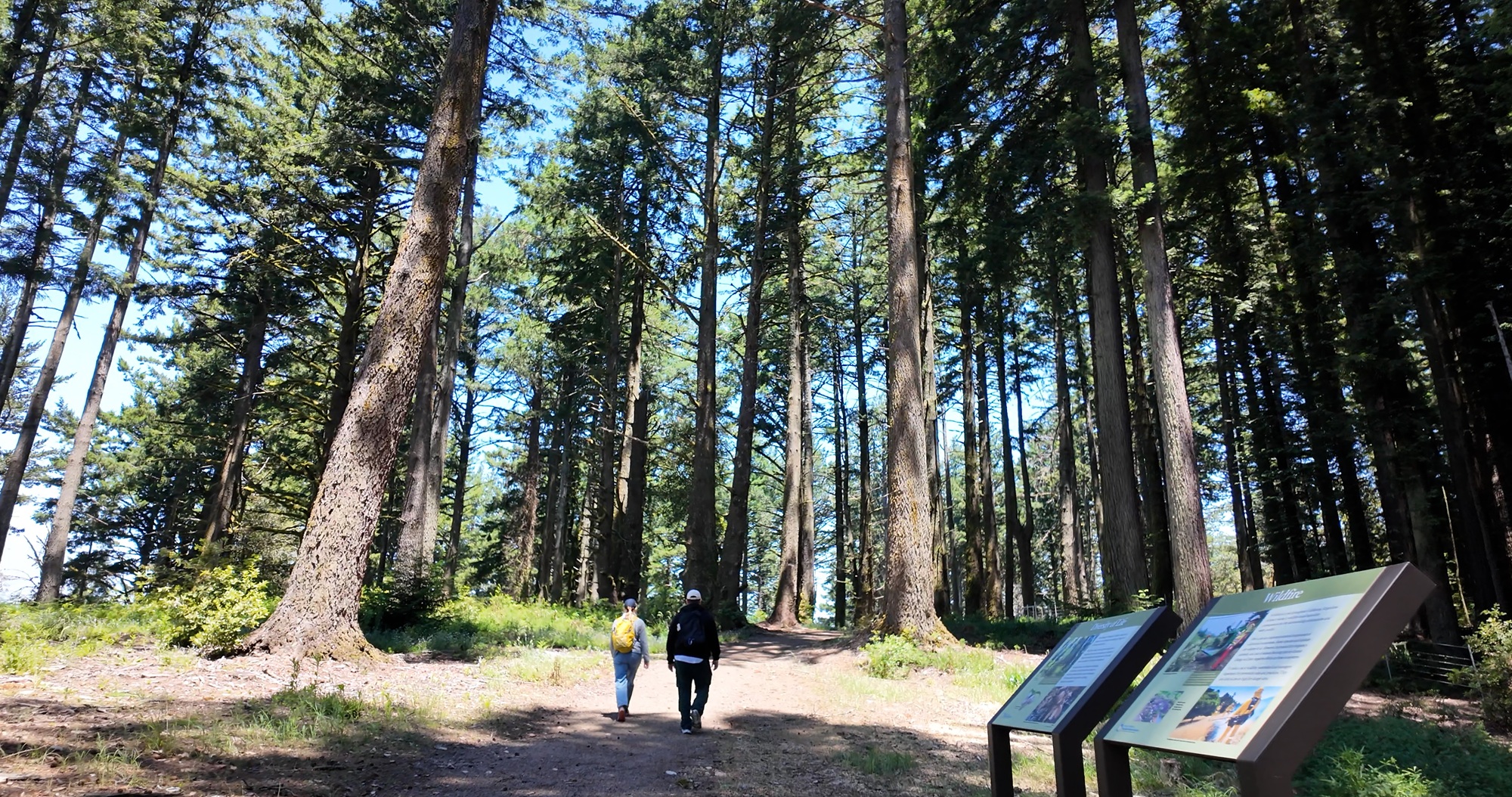 A view of the Skyline Watershed Ridge Trail.
“It’s fairly spectacular, I have to say,” Ramirez said. “It has really phenomenal views of the bay and, in some places, downtown San Francisco, Mount Diablo, and also the ocean, which is sort of what the Ridge Trail does.”
The entirety of the 6-mile trail is completely new, Ramirez said, so construction was “a heavy lift,” especially given the SFPUC’s priority to build parts of the trail using long-lasting materials like concrete instead of wood.
As this new trail opens, efforts remain underway to connect the route to the Purisima Creek Redwoods Preserve on Highway 35 to the south and expand parking at the southern trailhead, Ramirez said.
Exploring the region — while protecting the land
Just north of the trail is another segment of the Bay Area Ridge Trail, called the Fifield-Cahill Ridge Trail — but it’s only open with a reservation for a free docent-led hike. That’s because this part of the watershed is more vulnerable, Ramirez said.
On the newly opened Skyline Watershed Ridge Trail, instead of education via docent, Ramirez said he hopes opening public access via the permit system and the new signs will “get that information to people without having it be restricted.”
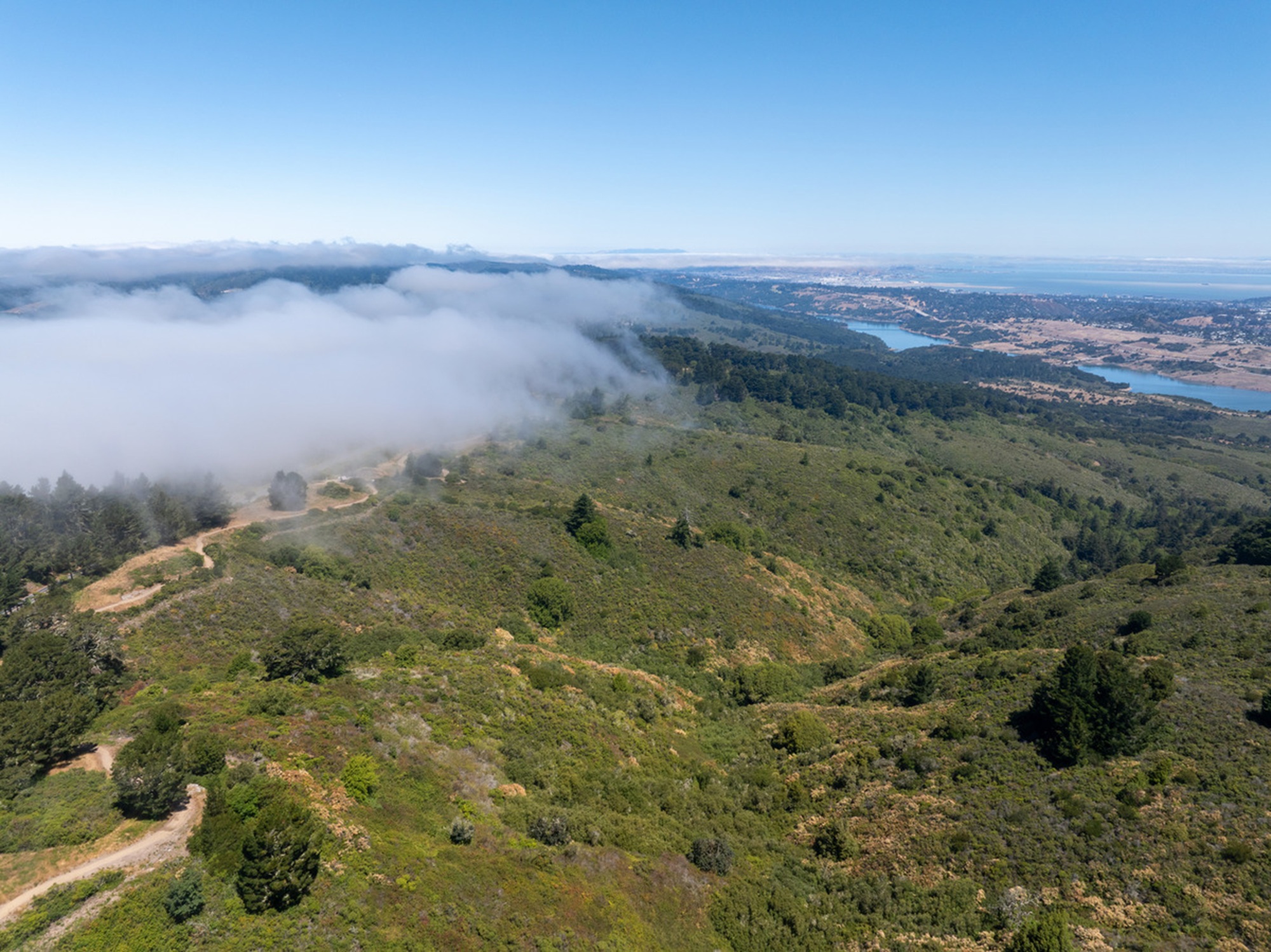 A view of the Skyline Watershed Ridge Trail. Parking is slim, with just 22 spaces available, so hikers should be sure to get there early or go during off-peak times.
“We’re trying to model the same level of protection, but we didn’t want to restrict access,” he said.
Also nearby is a half-mile ADA accessible trail, called the Watershed Discovery Trail, with more interpretive signs and models for an all-ages and abilities way to experience the watershed, Ramirez said.
What to know about visiting this new route
Hikers planning on visiting the Skyline Watershed Ridge Trail should be aware that the parking area is small — with just 22 spaces — so get there early or go during off-peak times, Ramirez said.
For a car-free option, SamTrans Route 294 can also drop hikers off very close to the trailhead at the Highway 92 and Skyline Boulevard stop, which is accessible via the Caltrain stop in Hillsdale.
Trail permits, available online, are free and good for the current year. They cover groups of up to six people.
The trail is open from 6 a.m. to 6 p.m. daily to hikers, runners, cyclists and equestrians. Two pit toilets are located at miles 2 and 5.
“Monday morning the gates will be open, and people can come and go as they please,” he said.