
When you want an epic hike, many locations offer trails that showcase the best of their surroundings. For instance, in Joshua Tree, you’re going to experience a mix of iconic deserts and rugged boulder formations. And for a fall hiking adventure, the White Mountains National Forest delivers short, steep trails that cross mountain streams and travel through glowing deciduous forests up to alpine peaks. Unless you have months to traverse the Appalachian Trail, it’s rare to see vastly different landscapes in a single hike. But if you have the skills and the endurance to hike California’s Cactus to Clouds Trail from Palm Springs to the San Jacinto Peak, you can get the best of the desert floor and views from a mountain peak all in one grand trek.
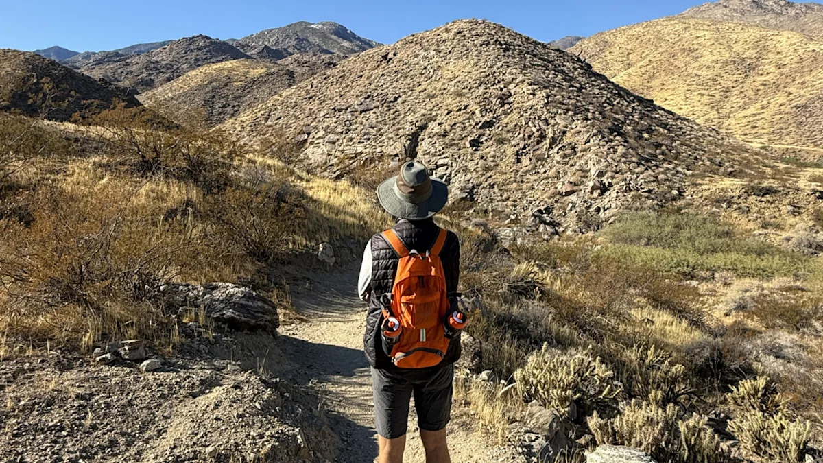
Rated one of the hardest hikes in the world by Backpacker magazine, the approximately 20-mile Cactus to Clouds Trail is a true endurance test, which is why you’ll want to physically prepare for this long-distance hike. With more than 10,000 feet of climbing, it demands stamina and careful preparation, including carrying water, snacks (including electrolytes), extra layers, trekking poles, and other hiking essentials in case of emergency. Expect to put in a full day that may begin or end in the dark. While this trail isn’t for beginners, many hikers say the payoff is worth the challenge.
Timing is everything when attempting Cactus to Clouds. Since this trail includes scorching desert and an alpine summit, the right season can limit extremes. Plan for a September or October hike for the best conditions. May is the second-best time. During these windows, you won’t get the 110-degree heat of Palm Springs, and the higher elevations will be mostly free of snow. Avoid June through September due to the extreme heat, and hike between November and April only if you’re prepared for snow.
Read more: 13 Creatures To Beware Of When Adventuring In California’s Deserts
How to hike Cactus to Clouds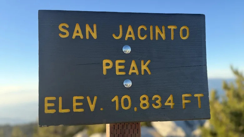
San Jacinto Peak sign – Nicole Wisniewski/Static Media
Begin your adventure behind the Palm Springs Art Museum, where free street parking is usually available. Prepare for 8,400 feet of elevation gain in the first 9 miles to Long Valley. Don’t plan on water until you reach this point. There are two rescue boxes — one at 2.5 miles and one at 6.5 miles — that typically contain water and snacks, but it’s best not to rely on them. As you go, look for white blazes to ensure you’re on the right path and use GPS or an app like AllTrails to stay on track, especially if you’re hiking in the dark with headlamps.
At Long Valley, there’s a ranger station, restrooms, and running water. From there, signs lead you to the San Jacinto Peak. Before the summit to the right, a small stone hut offers shelter, wooden bunks, a guest book, and occasionally snacks and water. After you reach the peak and take a few photos to memorialize your journey to 10,834 feet, return the way you came. Many hikers opt to jump on the tram back to Palm Springs from Mountain Station, which reduces the way down from 20 miles to about 5 miles. Check tram hours and try to secure your ticket in advance. In the end, it will feel like a once-in-a-lifetime adventure that lets you experience two strikingly different worlds — all on your own two feet.
Want more design inspiration? Join our free newsletter to get the best home and garden tips, design hacks, and DIY projects delivered right to your inbox. You can also add us as a preferred search source on Google.
Read the original article on Outdoor Guide.