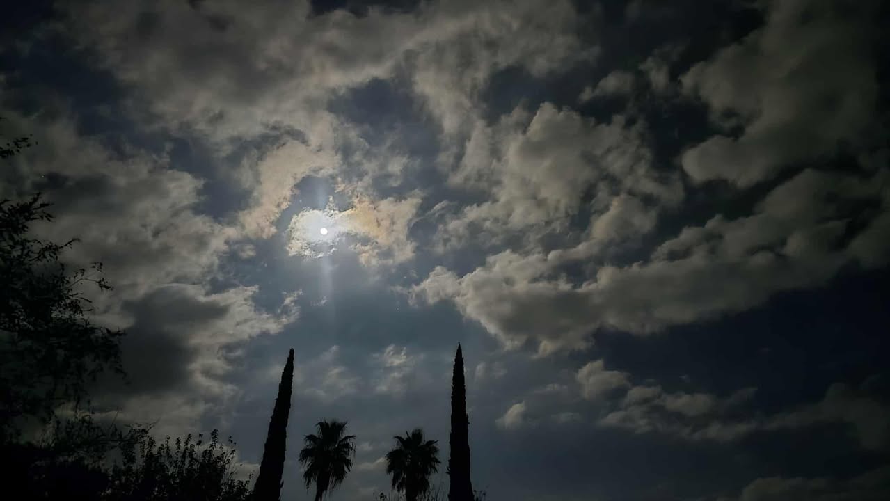
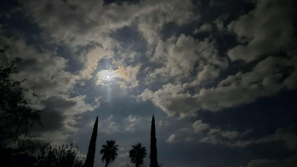
BAKERSFIELD, Calif. (KBAK/KBFX) — Last week featured a “supermoon” followed by a regular moon the following night. Special thanks to Billy Abrego from Arvin who took this great pic and shared it with us.
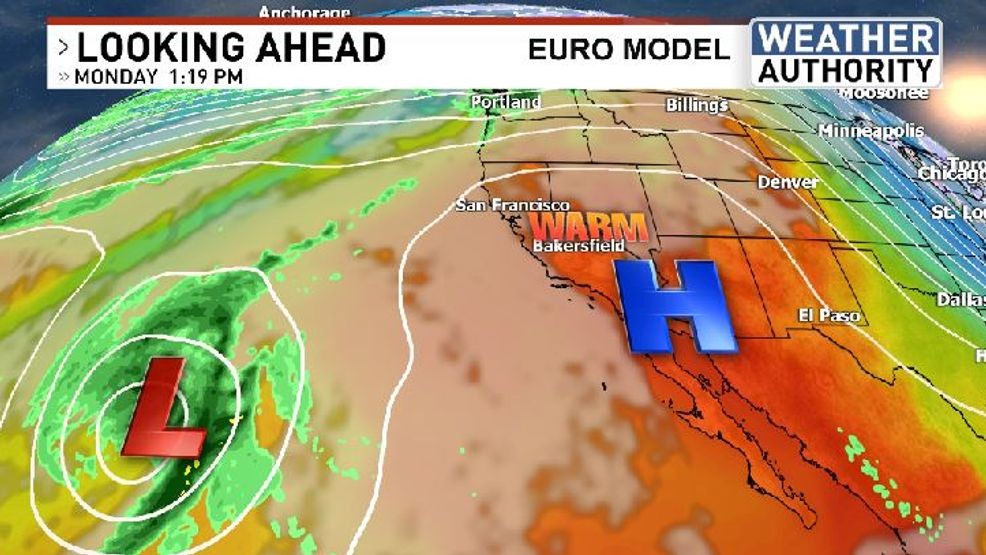
While the warmth continues this weekend, those afternoon highs could continue on the above average side heading into the start of the new week. This is because an “amplified” upper-atmospheric pattern is developing over the Western United States and adjacent Pacific Ocean, with a ridge of high pressure across our region, while a developing low forms over the Pacific to our west-southwest.
 Comment with Bubbles
BE THE FIRST TO COMMENT
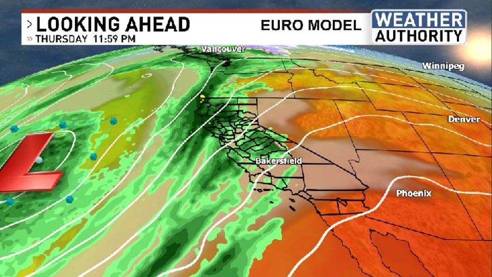
As we head into the mid to late week timeframe the trough over the Pacific could consolidate and a series of storm systems may start to push into California. This could be a pretty active period of weather, featuring significant amounts of rain and high elevation snow. The exact details won’t be known until later as there have been some model differences and the pattern is a bit on the complex side. For now, plan for the possibility of busier weather towards the latter part of the work week.