
BAKERSFIELD, Calif. (KBAK/KBFX) — The forecast for Sunday will be strongly tied to the atmospheric interaction between Hurricane Marie’s moisture and the West Coast trough of low pressure.
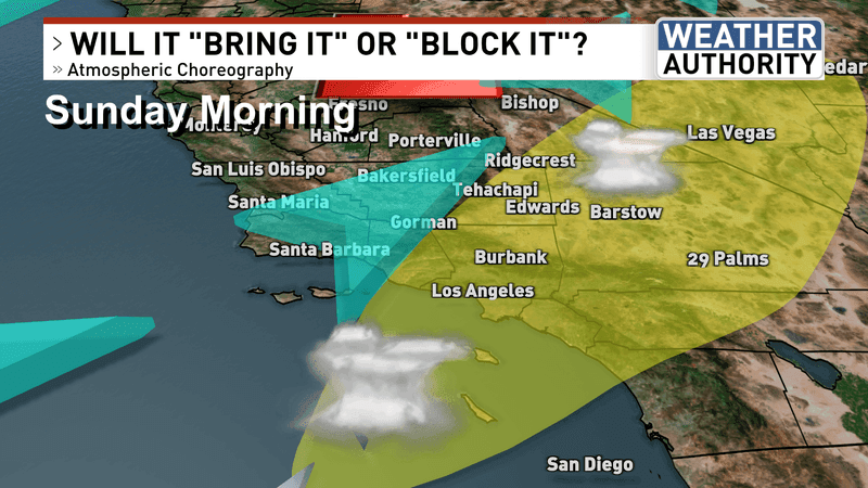
This trough of low pressure that has been with us for days will get a temporary boost from an upper-level low swinging toward the central coast. The jet stream could strengthen and be in a position to help pull up a surge of tropical moisture from Marie and direct it into southern California. At the same time a zone of atmospheric lift and instability may develop due to this weather choreography, leading to the development of showers and thunderstorms from the coastal waters, through some of the SoCal metros, up across the mountains and through the deserts all the way toward Las Vegas.
Depending on how things develop, our desert areas and maybe the southern mountains of Kern County could see some of this activity so it’ll be a good idea to be “weather aware out there” especially if you are planning any outdoor events or activities on Sunday.
Finally, significant surf and dangerous rip currents could lead to risky swimming conditions along Southland beaches.
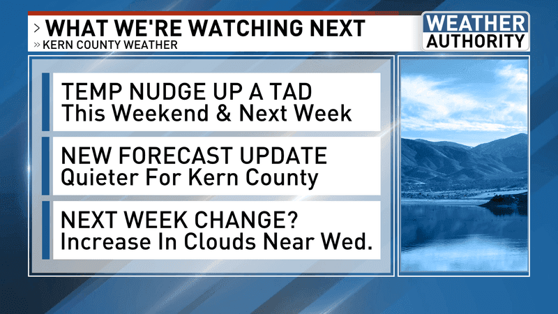
Warmer weather is forecast for the early to middle part of this new week.
Have a wonderful day!
Chief Meteorologist Ilya Neyman