
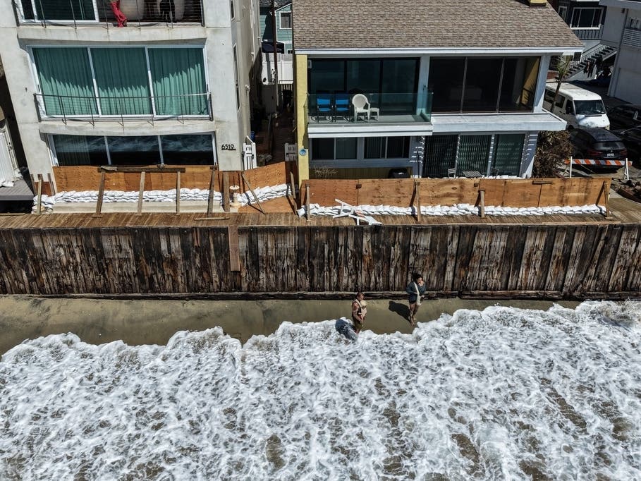
Avalon could be particularly vulnerable because Polo’s swells are expected to arrive from a more southeasterly direction than those from Marie, leaving the area more exposed, according to the NWS.
Forecasters said the situation remains complicated because Polo and Odalys are close to each other and computer models have had difficulty forecasting Odalys. Polo also has a relatively short period during which it is expected to be far enough west for its waves to have a clear path toward Southern California.
There is also a chance of light showers south of Point Conception from Sunday night into Monday as mid-level moisture moves into the region, although the greatest local effects from the hurricanes are still expected along the coast.
Meanwhile, temperatures Saturday are expected to rise 3 to 6 degrees across Los Angeles County coasts and valleys, with highs near 90 in downtown Los Angeles and near 100 in the warmer valleys. No significant winds are expected.
Several degrees of additional cooling are expected Sunday and Monday as an upper-level trough moves into California.