
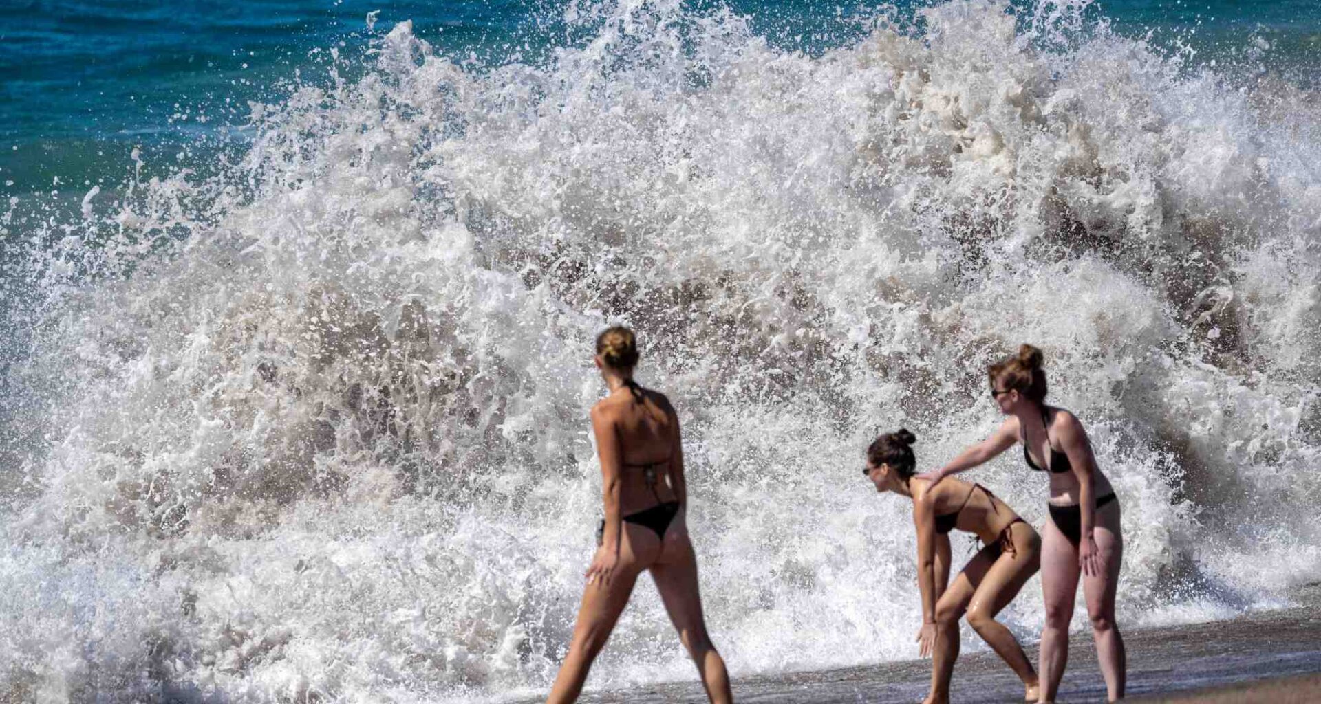
The first impacts of Hurricanes Odalys and Polo were felt in Southern California late Monday morning, Sept. 28, as a boardwalk in a peninsula neighborhood in Long Beach saw waves crash against a sea wall, with some dropping water near beach side homes.
The boardwalk, which had been damaged in multiple places after it was hammered by Hurricane Marie earlier this month, was in the process of being fixed as the new storms arrived. Officials, starting Friday, Sept. 25, handed out some 5,100 sandbags to residents in the area in hopes they would help prevent flooded homes and streets.
One home on 65th Place had also been yellow-tagged as of Friday, though it wasn’t immediately clear if it was in relation to the incoming tides.
High tides from the two hurricanes were anticipated to last until at least Tuesday evening, with the National Weather Service announcing coastal flood and high surf advisories for Los Angeles County beaches through 5 p.m. Tuesday.
The previous impacts of Hurricane Marie led the Long Beach Fire Department to evacuate 24 homes and close down the boardwalk for several blocks after waves and water caused some of the wood planks to cave in.
The impact of Odalys and Polo was not anticipated to be as strong, but forecasters warned of vulnerability in spots like Long Beach, Malibu and Catalina due to beach erosion.
Monday’s waves were not nearly as intense as what the Peninsula neighborhood of Long Beach saw earlier this month. The crashing waves caused water to rise about a foot or two above the boardwalk starting around 11 a.m., with a patch of more intense waves that followed.
Calmer conditions prevailed around 2 p.m.
At Zuma Beach and Point Dume in Malibu, no increased water activity was seen as of Monday afternoon as people enjoyed an afternoon on the beach, with some sunbathing.
Cameron Wellwood, a Malibu resident, said aside from it being unusually windy, there was “nothing much of significance” that he considered alarming about the conditions.
The area experienced significant long-term erosion over the years, Wellwood said, with the shoreline reaching the road in some places. He was concerned that another substantial south swell combined with high tides could cause further erosion.
“My biggest concern is they’re not doing anything, they’re not trying to solve the problem,” he said. “They’re just adding more and more rocks. And then eventually we’ll be sitting in my car looking at rocks.”
A second high tide was anticipated after 11 p.m. Monday night, bringing with it the chance of coastal flooding along south-facing beaches.
National Weather Service forecasters said waves could reach up to 4 to 7 feet on top of the high tides and moderate flooding was possible in vulnerable low-lying areas, including beach parking lots, bike paths and harbor walkways. No flooding was seen as of 3 p.m. Monday.